Sports & activitites
Water highlights

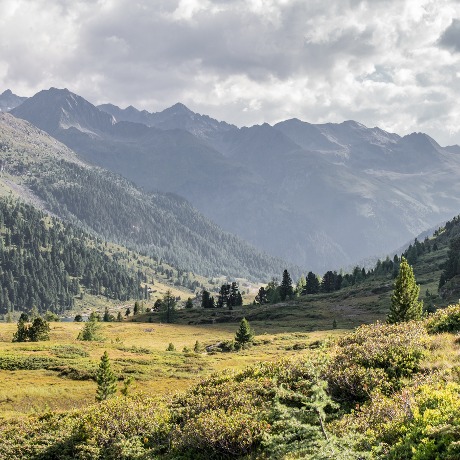
The "2-Valley-Trail" from the Antholzertal Valley to Defereggen leads hikers through the pristine mountain landscape in East and South Tyrol.
The Antholzertal Valley and Defereggen Valley are both situated on the southern slopes of the Alps on the border between Italy and Austria. Mass tourism has not caught on here. The sparsely populated mountain region is nestled among high alpine nature reserves, making it a great insider tip for hiking fans seeking rest and recuperation.
Mountain farmers, churchgoers and smugglers once used the Two-Valley Trail route to get from one valley to the other. Come and embark on a journey back to this time!
The "2 Täler Trail" starts in Hopfgarten in Defereggen, heads along the Staller Saddle mountain pass and ends in Niederrasen in the Antholzertal Valley. Six daily stages spanning a total of 90 kilometres lie in store for hikers.


This trail is the middle ground between a high-alpine long-distance trail and a mon otonous valley hiking path. It snakes along the middle altitudinal zone between high-alpine terrain and valley floors. Hikers can enjoy the unique views of the valley’s villages and the snow-capped mountain peaks.
As they forge their way across the Lasörling Group, Villgraten Mountains and the three-thousanders in the Rieserferner Group. Metaphorically speaking, this entire route is a balcony to the Alps. At the end of each daily stage, hikers reach a village where they have the option of staying in a guest house, an inn or a hotel.
Stage 1: Hopfgarten to St. Veit (East Tyrol)
Motto: At the mountain farmers; ascent: 1,525m; descent: 1,155m; length: 19.8 km; travel time: 7.5 hours
Stage 2: St. Veit to St. Jakob (East Tyrol)
Motto: Along the edge of the forest; ascent: 1,200m; descent: 900m; length: 13.7 km; travel time: 6 hours
Stage 3: St. Jakob to Maria Hilf in St. Jakob (East Tyrol)
Motto: The splendid flowers in the alpine meadows; ascent: 1,100m; descent: 1,100m; length: 14.8 km; travel time: 5.5 hours
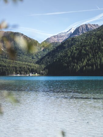
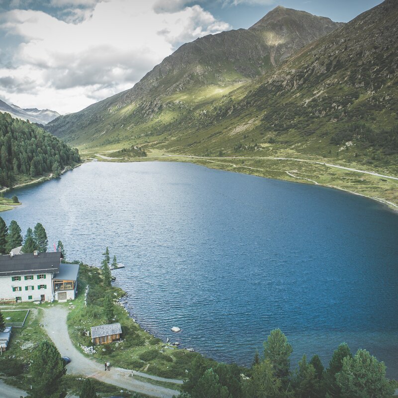
Stage 4: Maria Hilf in St. Jakob to Antholzer See lake (East Tyrol - Antholzertal Valley)
Motto: Following in the footsteps of smugglers; ascent: 1,100m; descent: 900m; length: 15.9 km; travel time: 5 hours
Stage 5: Antholzer See lake to Antholz Mittertal (Antholzertal Valley)
Motto: At the foot of the Rieserferner Group; ascent: 800m; descent: 1,200m; length: 15 km; travel time: 4.5 hours
Stage 6: Antholz Mittertal to Niederrasen (Antholzertal Valley)
Motto: Moor whispers; ascent: 250m; descent: 450m; length: 13.3 km; travel time: 2.5 hours
TOTAL: ascent: 5,575 m; descent: 5,705 m; length: 90 km; travel time: 29 hours
This project has received funding from Interreg 2014-2020 - Italy-Austria - CLLD axis - “Dolomiti Live”.

2 Lakes Shuttle: from mid-May to the end of October there is the possibility to take a shuttle from the bus stop at the Biathlon Center to go behind the Lake Antholz and up to Staller Saddle. All information about the shuttle you will find here.
INFORMATION
Antholzertal Tourist Office
T +39 0474 496269, info@antholzertal.com
The villages of the Valle Anterselva-Antholzertal – Rasun di Sotto-Niederrasen, Rasun di Sopra-Oberrasen, Anterselva di Sotto-Antholz Niedertal, Anterselva di Mezzo-Antholz Mittertal, and Anterselva di Sopra-Antholz Obertal – are all connected to the public bus network. The buses travel regularly in both directions in the valley. The next railway station is located in the neighboring village of Valdaora-Olang.
All bus connections are available here:
SüdtirolmobilHuben - Hopfgarten - St. Veit - St. Jakob i. D.
bus line 953 | summer 2025