Water highlights

Dark green coniferous forests, the breathtaking mountain scenery of the Rieserferner mountain chain and, in the midst of all this, shimmering turquoise-green water. This is the dreamlike scenery of the lake called Antholzer See, one of the most beautiful lakes in the Alps! And with 44 hectares and a depth of 38 m, this idyllic pearl of our Blue Valley is the third largest mountain lake in South Tyrol. Located at the head of the valley, it is also very close to the well-known Staller Saddle mountain pass and Austria. At an altitude of approx. 1,640 m, families, nature lovers and outdoor enthusiasts can enjoy countless activities in the Rieserferner-Ahrn Nature Park all year round.
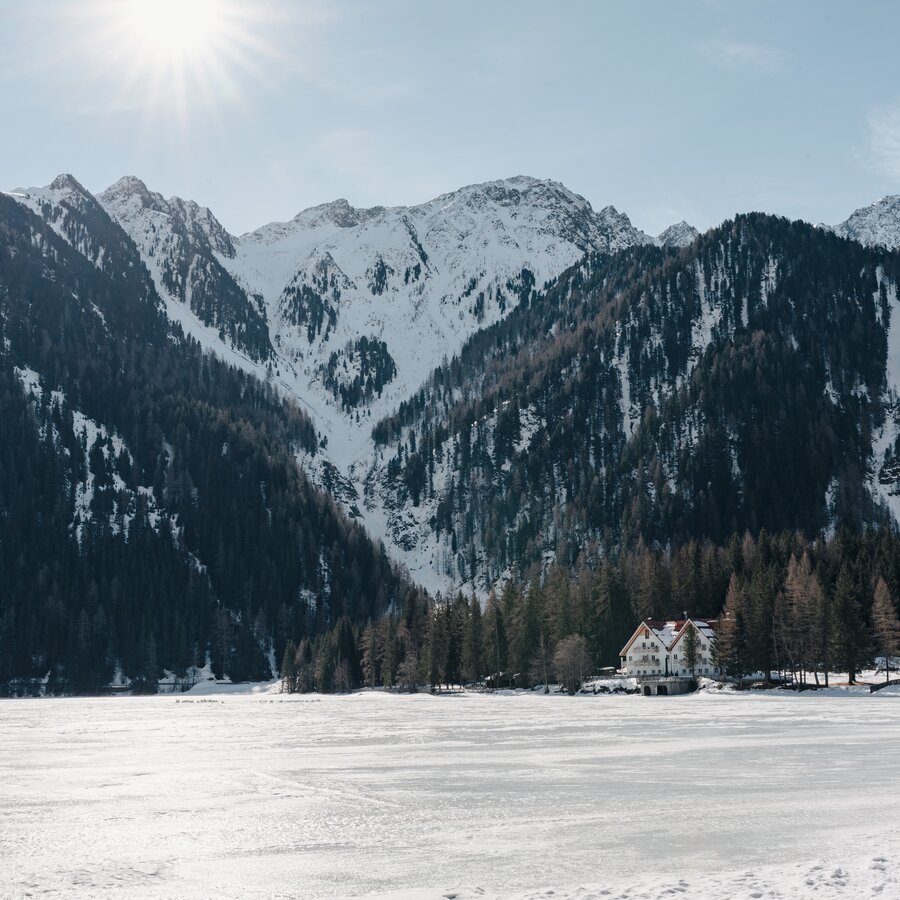
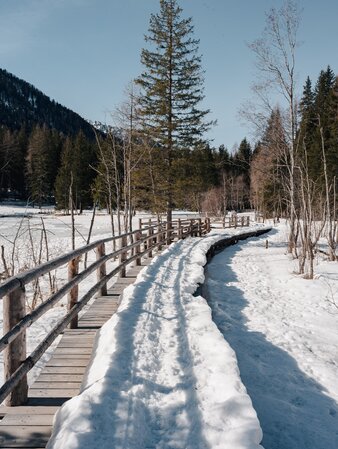
Are you up for more? We have some great tips for your activities and experiences all around the Lake Antholz! Walk along the lake's Nature Trail to learn more about its flora and fauna. You may also set out on adventurous tours to admire the lake from above: Imagine a pleasant hike along alpine pastures, a mountaineering tour on one of the surrounding 38 three-thousanders or a mountain bike tour to the Staller Saddle mountain pass. However, the lake is not only a highlight in summer, for as soon as its water freezes in winter, it entices you to practise cross country skiing, to go on winter hikes and to enjoy other winter activities in its snowy fairytale landscape.
Map of lake's Nature Trail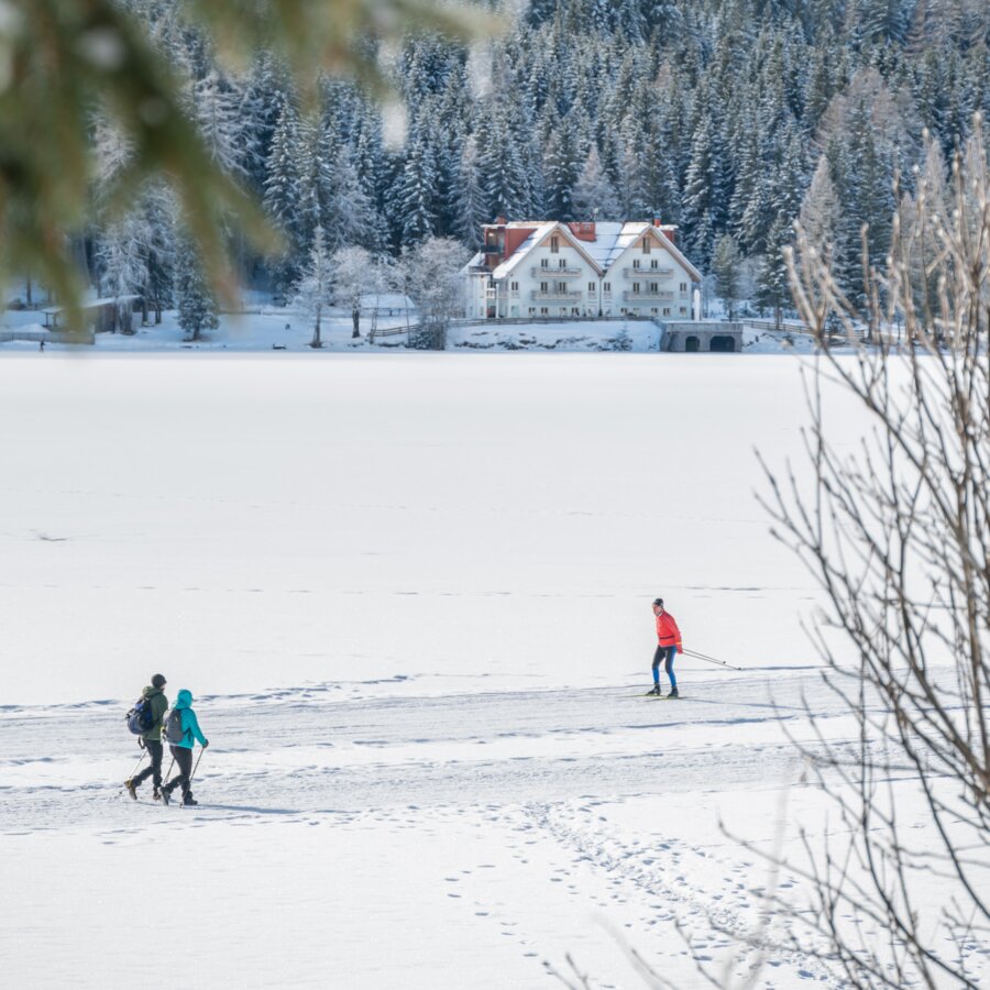
Here you will find the map with the marked trails on the frozen Lake Antholz. The orange-marked path is the winter hiking trail, while the green-marked one is the cross-country ski trail. Please stay on the designated paths to protect nature and ensure everyone's safety!
The ice thickness is regularly checked, and the lake is only opened when it is sufficiently thick. Please check before entering whether the Lake Antholz is currently safe to walk on.
Map of cross-country ski trail and winter hiking trail Status winter hiking trail/cross-country ski trail
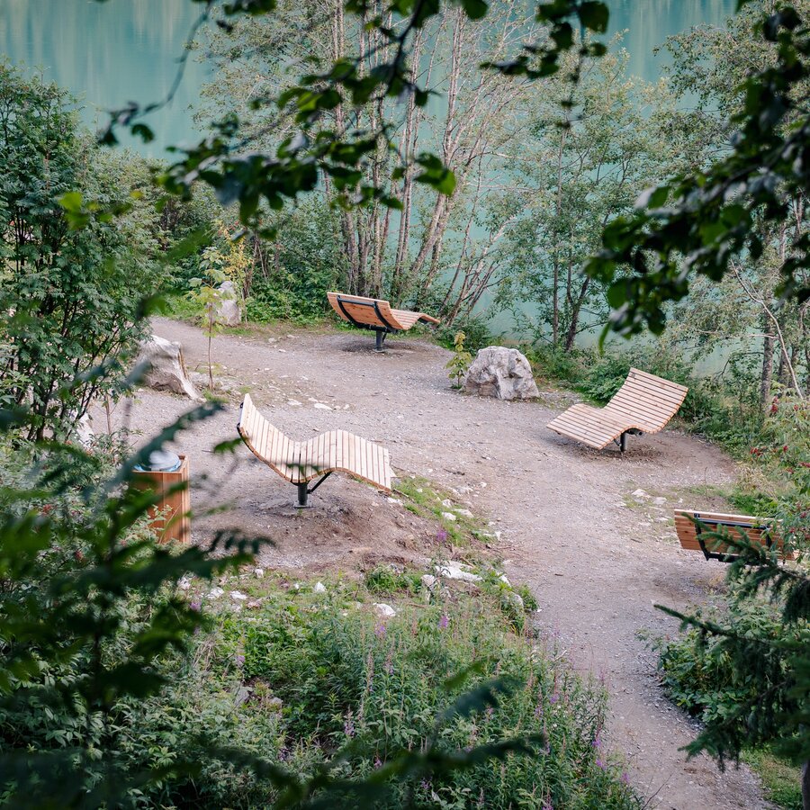
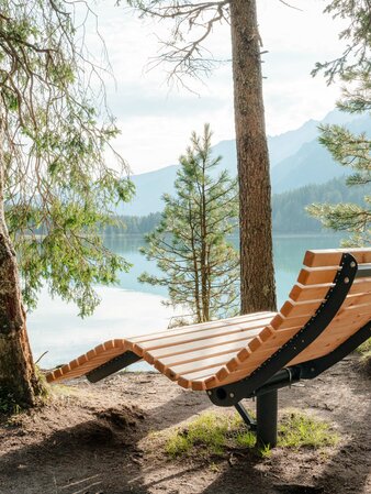
Take a seat! The new relax area on the left side of the Lake Antholz is a place for relaxation and recreation. Large rotating loungers invite you to let your gaze wander over the calm surface of the water. Embedded in the silence of nature you can breathe in the fresh mountain air, listen to the soft lapping of the water and leave the stress of everyday life behind you. Enjoy the moment in the middle of this unique mountain world!