Top

Hike to the Grente Cross

Antholz Valley
Add to favourites
Category
Difficulty
Intermediate
Duration
2:00
in hours
Distance
2.7
in km
Status
open
Varied hike to Grente Alm hut and further on to the panoramic Grente Cross.

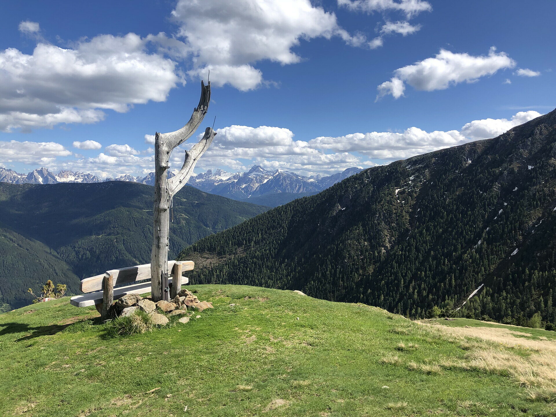
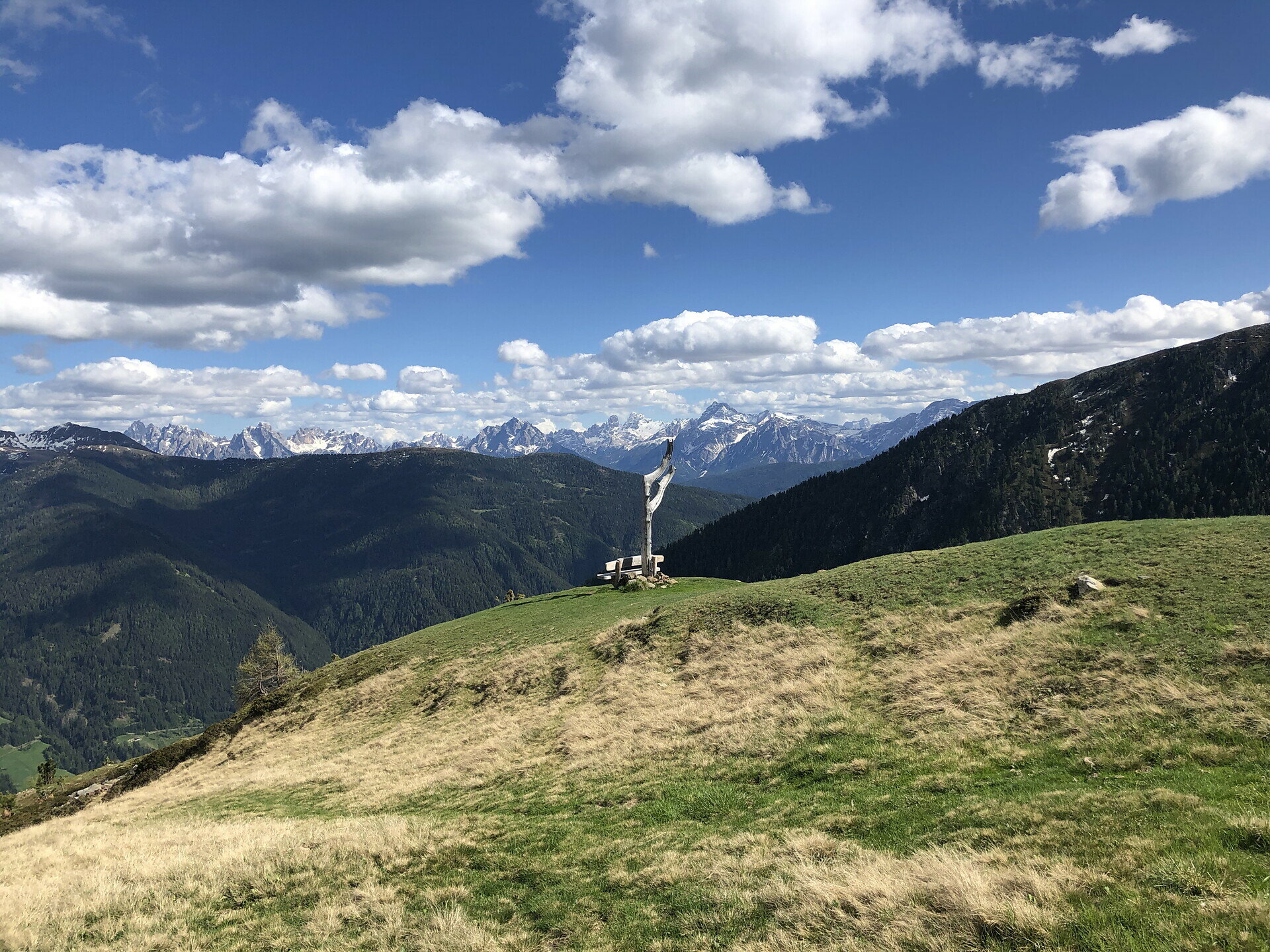
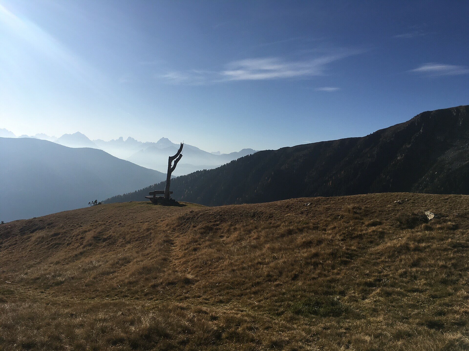
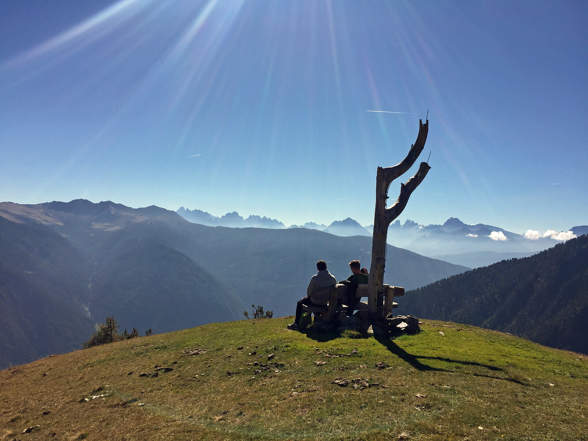
The hike to Grente Alm hut and onward to Grente Cross (2,250 m) is a beautiful panoramic tour in the Antholz Valley. The route leads through peaceful forest sections up to an impressive viewpoint with wide views over the Antholz Valley and the surrounding mountains.

Depending on the chosen option, the ascent can either be more challenging via a steep forest trail or more relaxed via a forest road. Grente Alm hut is an ideal intermediate destination before continuing to the scenic Grente Cross.

Thanks to numerous connecting trails, the tour can be individually extended – for example towards Rammelstein peak, Mittertaler Ochsenalm hut or Kumpfl Alm hut.
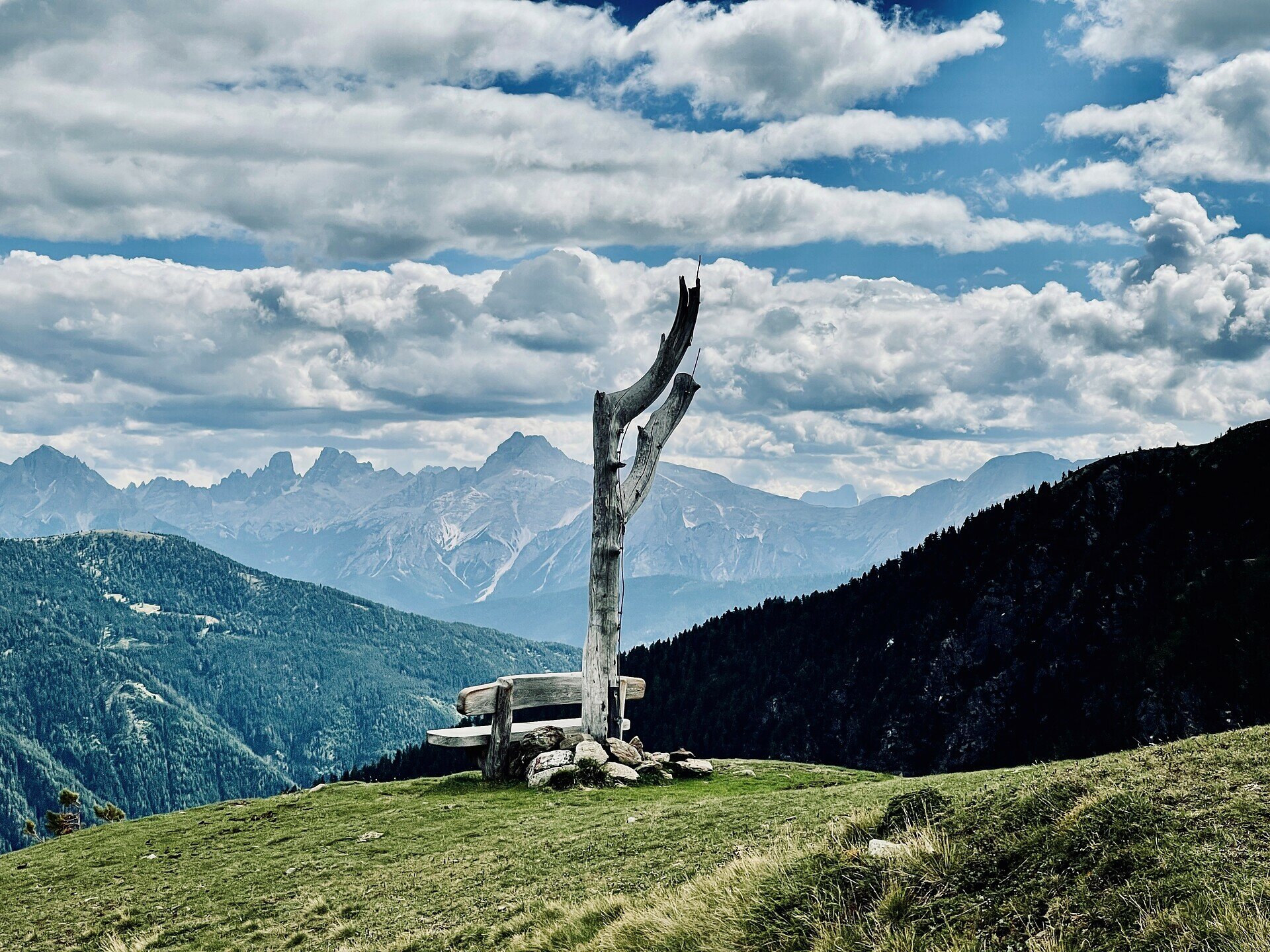
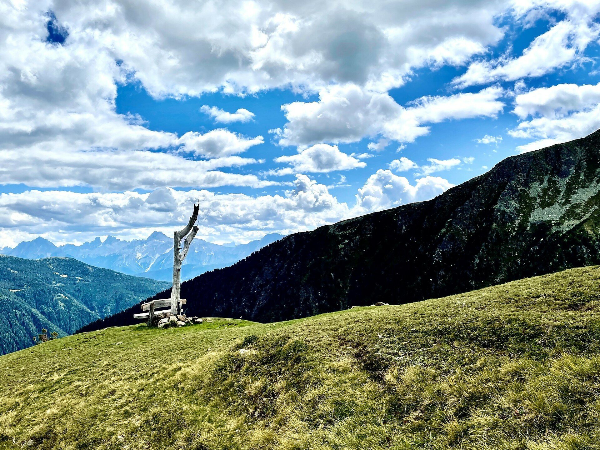
Gallery
Tags
  • Linear route
Route data
Intermediate
Distance
2,7 km
Duration
2 h 00 min
Ascent
700 m
Decent
0 m
Physical condition
Scenary
Highest point
2.143 m
Lowest point
1.443 m
Suggestions
The additional ascent to Grente Cross is especially worthwhile on clear days. The viewpoint offers impressive panoramic views over the Antholz Valley all the way to the Dolomites.
You might be interested in
Discover related tours
Antholz Valley
Hike to the Egger Waterfall
Distance 0,7 km
Duration 20 min
Ascent 121 m
Decent 0 m
Status
open
Antholz Valley
Family Hike to the Burgegga Mill
Distance 1,7 km
Duration 49 min
Ascent 136 m
Decent 136 m
Status
open
Dolomites panoramic view tour Antholz Valley | © Tourismusgenossenschaft Antholzertal
Intermediate
Add to favourites
Antholz Valley
Dolomites panoramic view tour
Distance 9,3 km
Duration 3 h 20 min
Ascent 532 m
Decent 532 m
Status
open
Antholz Valley
Kumpfl Alm via the Forest Trail
Distance 1,3 km
Duration 1 h 05 min
Ascent 361 m
Decent 0 m
Status
open
Antholz Valley
Hike to the Klammbach Waterfall
Distance 1,7 km
Duration 50 min
Ascent 251 m
Decent 4 m
Status
open
Antholz Valley
Across the panorama way to Bruneck
Distance 8,6 km
Duration 2 h 20 min
Ascent 45 m
Decent 231 m
Status
open