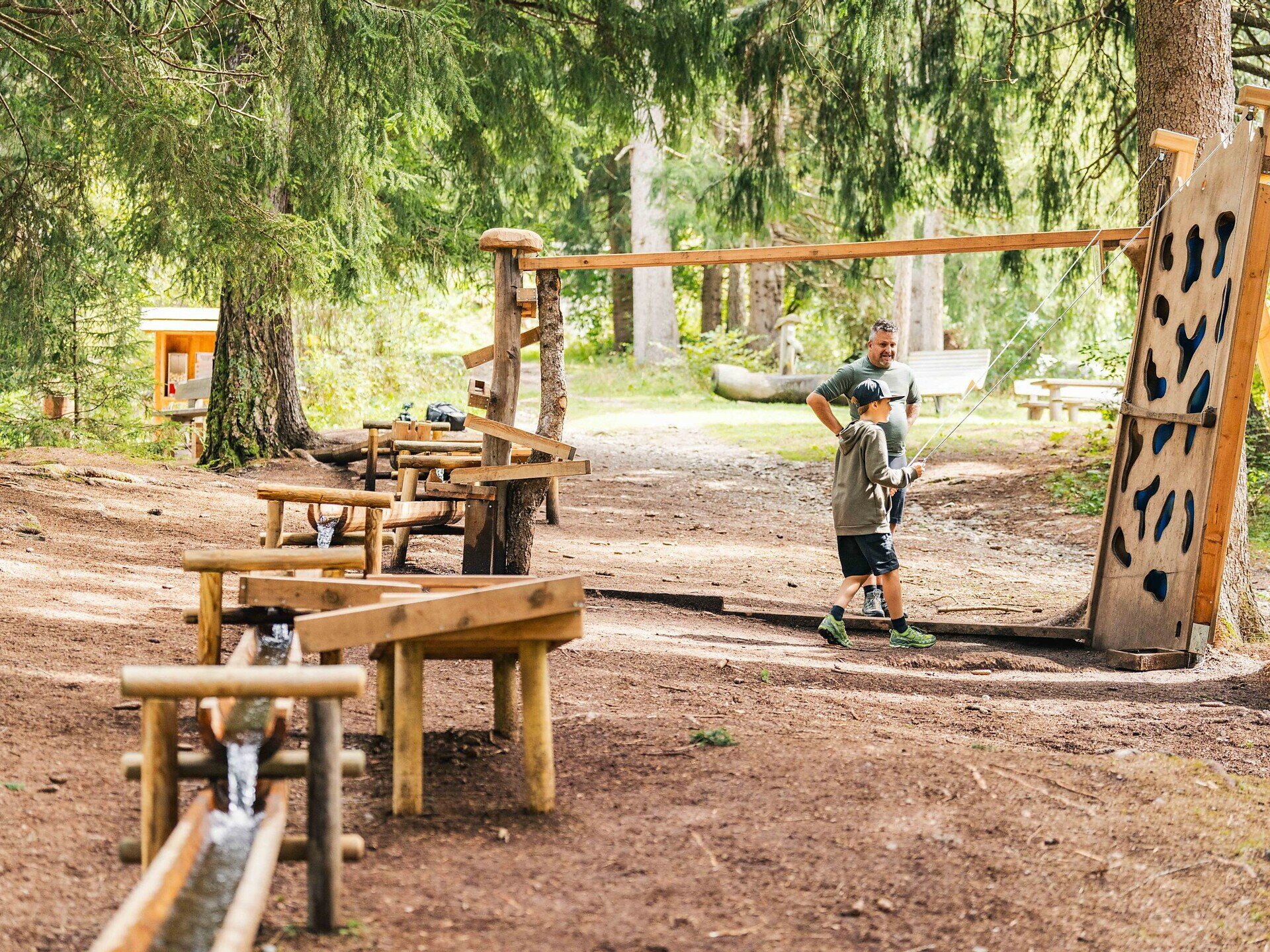
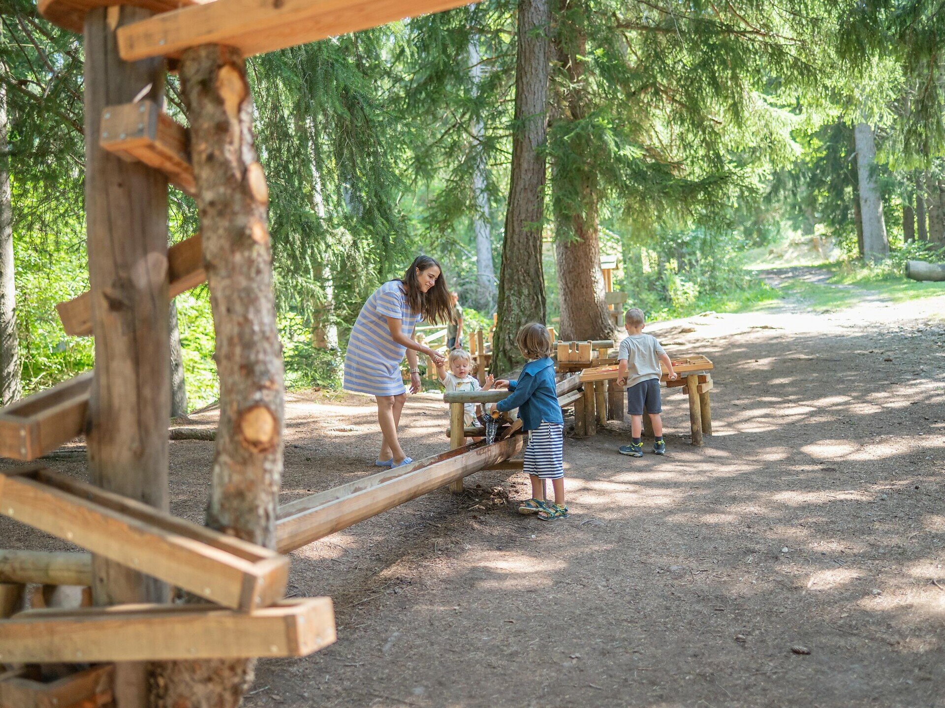
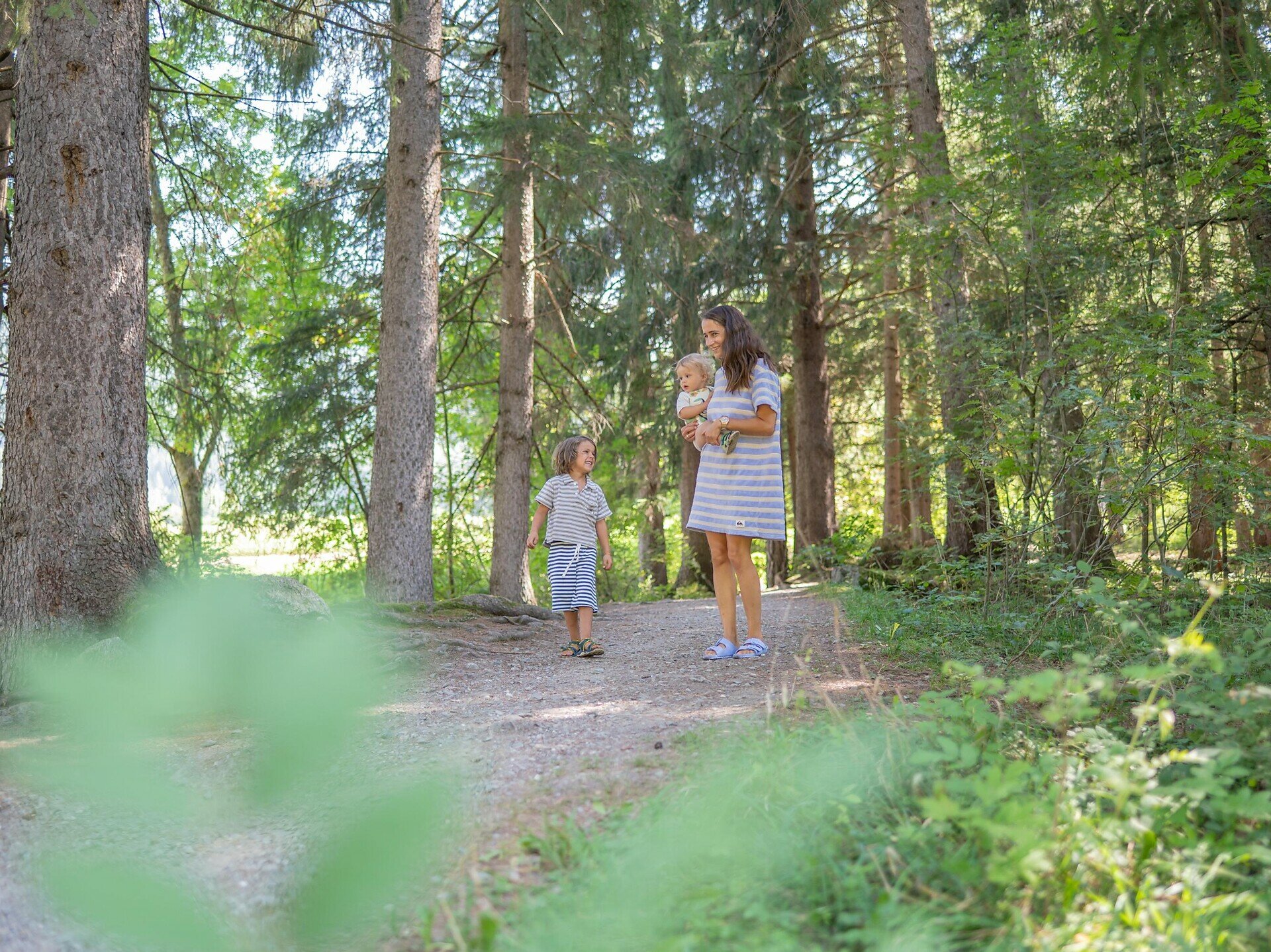
Easy walk from the Niederrasen recreation park to the shady water adventure park "Wasserwaldile".
This pleasant walk leads from the Niederrasen recreation park along quiet paths into the idyllic water adventure park "Wasserwaldile". The easy route connects the recreation park with a beautiful section along the Antholz stream and the shady woodland area.
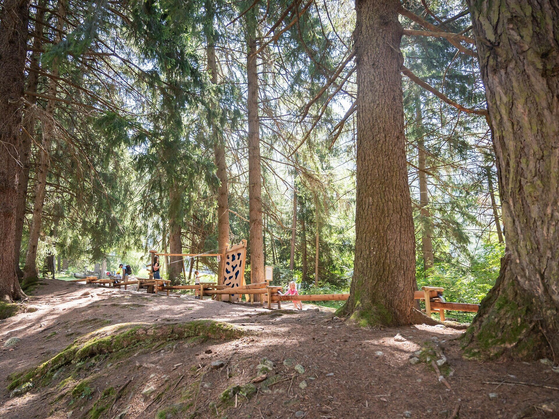
Thanks to the easy route and gentle gradient, the walk is particularly suitable for families and those looking for a relaxing stroll. The Wasserwaldile offers a peaceful, natural atmosphere and is an especially pleasant destination on warm days.
The Wasserwaldile is an especially pleasant destination on warm summer days: the shady forest and the nearby stream provide welcome refreshment along the way.
Starting point
Niederrasen
Directions
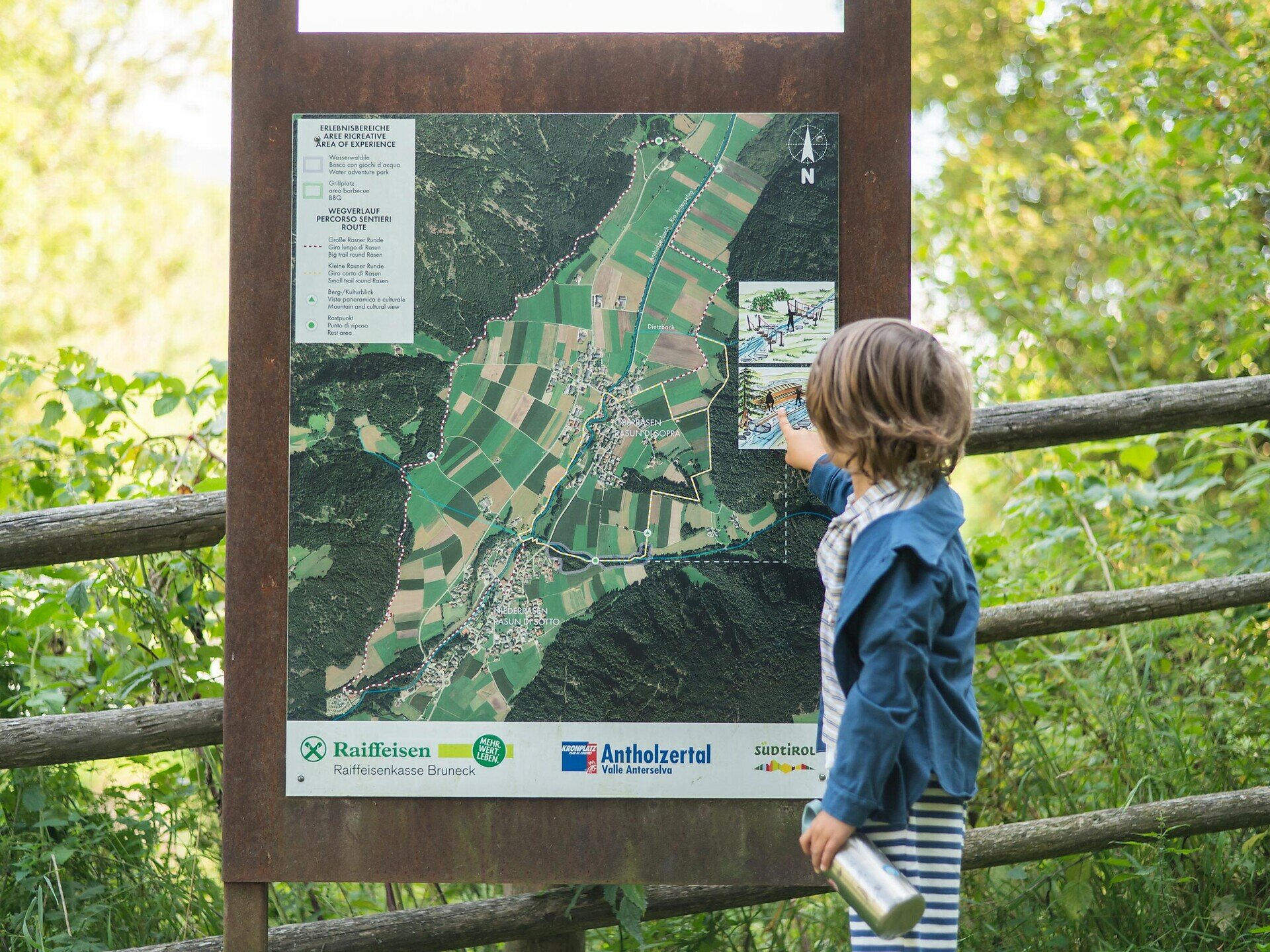
The starting point is the free car park at the Niederrasen recreation park. From there, follow the signs through the recreation park to the music pavilion and cross the small bridge.
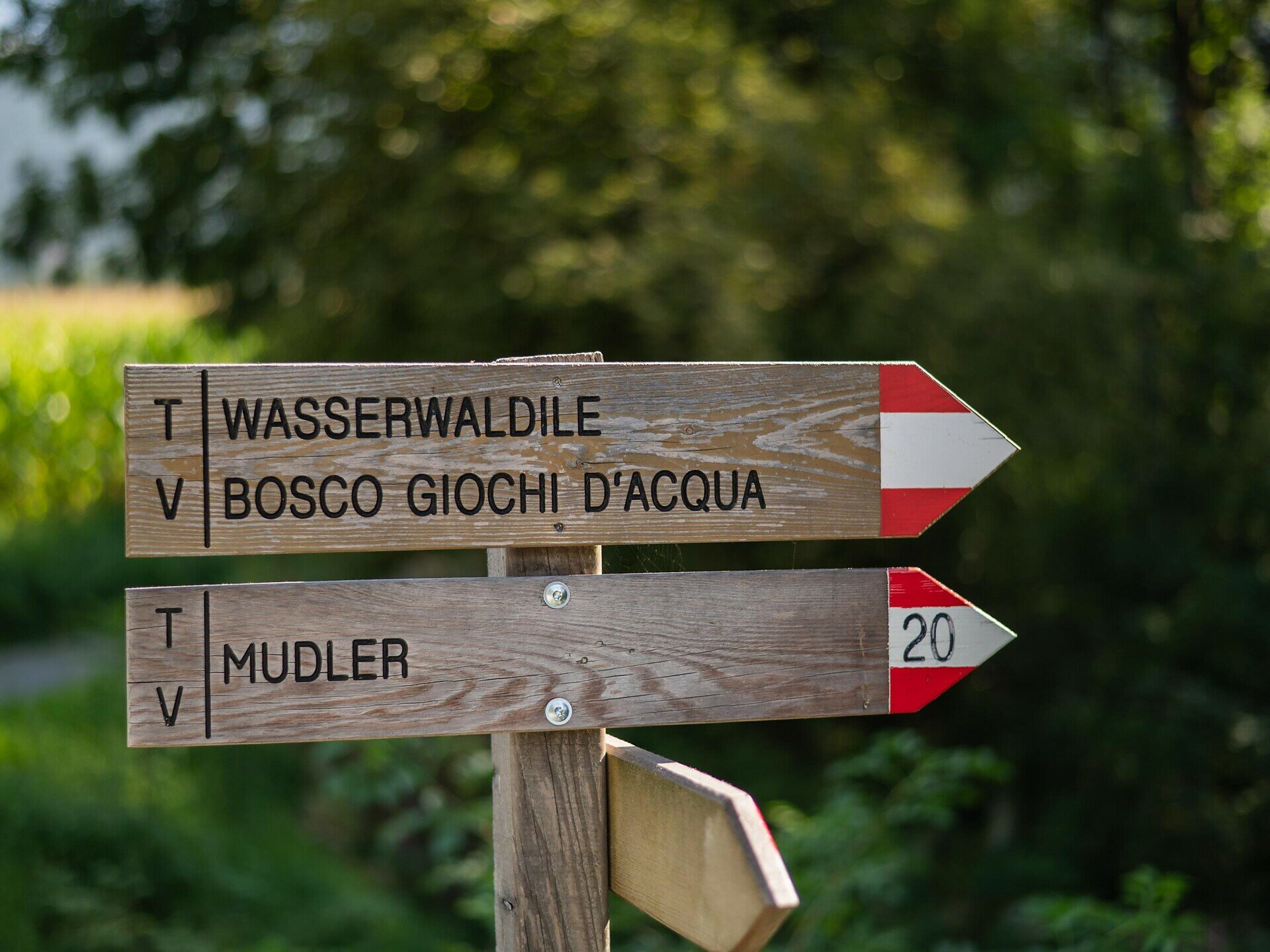
Continue along the cycle path to the Fischerplatz square and then towards Oberrasen. About 50 metres after the Fischerplatz, a path branches off to the right and leads down towards the stream. Cross a small bridge to reach the hiking trail and continue along it.
The path passes underneath the road and eventually leads into the peaceful "Wasserwaldile". Return along the same route.
With a stroller: From the area around the fire station/Fischerplatz square, this path is no longer suitable for strollers. Turn right uphill towards the municipal building and continue along the sidewalk beside the road to the end of the village. From there, the path turns right into the water adventure park.
public transportation
Take bus line 431 from the Olang-Antholz train station or from Lake Antholz to Niederrasen.