Through Hamlet Salla to Welsberg and Taisten

Add to favourites
Category
Difficulty
Intermediate
Duration
1:52
in hours
Distance
22.7
in km
NEW: MOVE calculates your personal route time for this tour.
Find out more about the project

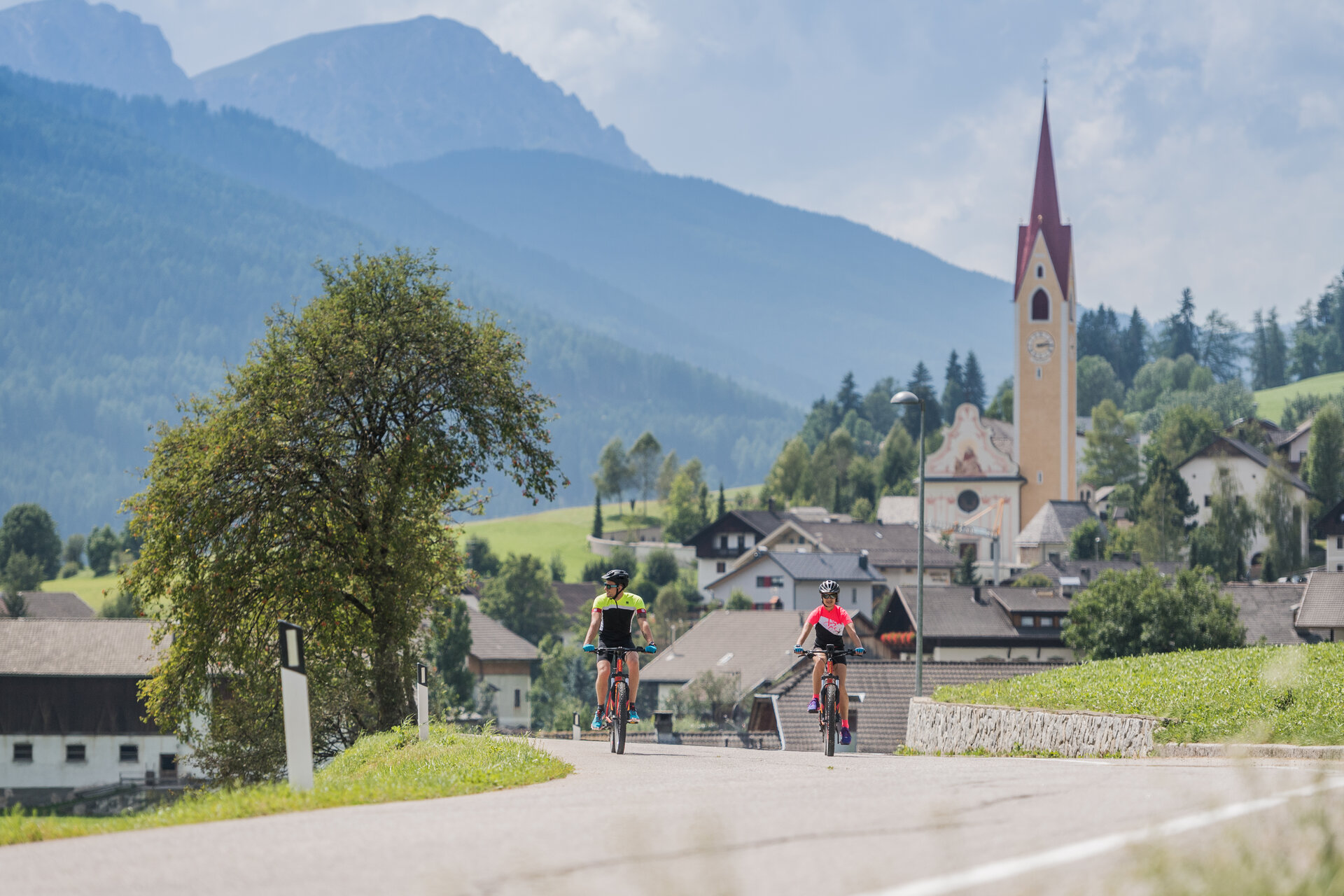
This medium-difficulty tour first leads you out of the valley on the cycle path, past the football pitch in Niederrasen and under the Puster Valley road. The route then continues to Oberolang and veers towards the Pustertal Valley cycle path. After the cemetery in Oberolang, turn right, follow the road to the hamlet of Salla and cycle on to Welsberg. Follow the cycle path along the river in the direction of the Gsieser Valley. After approx. 2 km, turn off towards Taisten, cycle through the village and then reach the beautiful hill from where you have a breathtaking view of the Dolomites. Continue along the road until you reach the Obergoste, from where you descend to Rasen. After the Hotel Alte Goste, the cycle path turns right to Rasen (gravel road from here) and you return directly to Niederrasen.

Route data
Intermediate
Distance
22,7 km
Duration
1 h 52 min
Ascent
593 m
Decent
593 m
Highest point
1.368 m
Lowest point
1.001 m
You might be interested in
Discover related tours
Tour around the Rieserferner peaks
Distance 92,4 km
Duration 7 h 29 min
Ascent 2.071 m
Decent 2.071 m
Antholz Valley
To the Brunst Alm Hut
Distance 10,4 km
Duration 2 h 40 min
Ascent 1.048 m
Decent 160 m
Status
closed
Mountainbike Area Anterselva di Sotto | © Schwienbacher Patrick
Intermediate
Add to favourites
MTB Area in Antholz Niedertal
Distance 1,5 km
Duration 10 min
Ascent 29 m
Decent 33 m
Cycling through Bruneck | © Wisthaler - TV Antholzertal
Intermediate
Add to favourites
to Ried - Castle Lamprechtsburg and to Bruneck
Distance 24,2 km
Duration 1 h 36 min
Ascent 325 m
Decent 325 m
Furkelpass | © Olang
Intermediate
Add to favourites
Antholz Valley
Passo Furcia/Furkelpass
Distance 12,0 km
Duration 2 h 05 min
Ascent 764 m
Decent 15 m
Status
closed
To the View of the Three Peaks
Distance 33,2 km
Duration 2 h 48 min
Ascent 587 m
Decent 202 m