Top

Nature experience hike from Niederrasen via Wasserwaldile to the Rasner Möser biotope

Antholz Valley
Add to favourites
Category
Difficulty
Easy
Duration
2:22
in hours
Distance
8.9
in km
Status
open
Suggested period
Jan
Feb
Mar
Apr
May
Jun
Jul
Aug
Sep
Oct
Nov
Dec
NEW: MOVE calculates your personal route time for this tour.
Find out more about the project
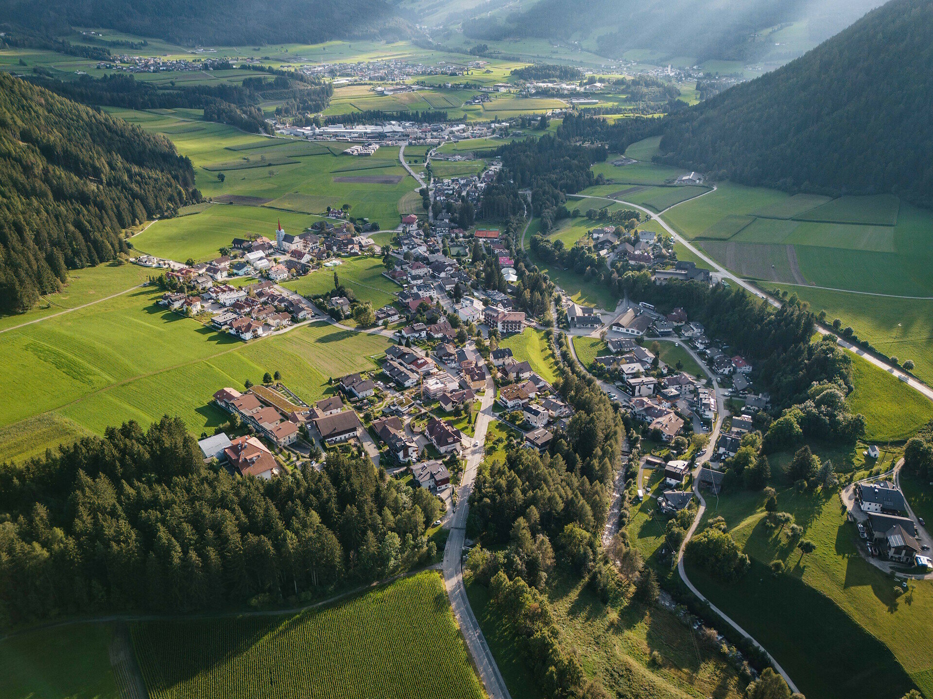
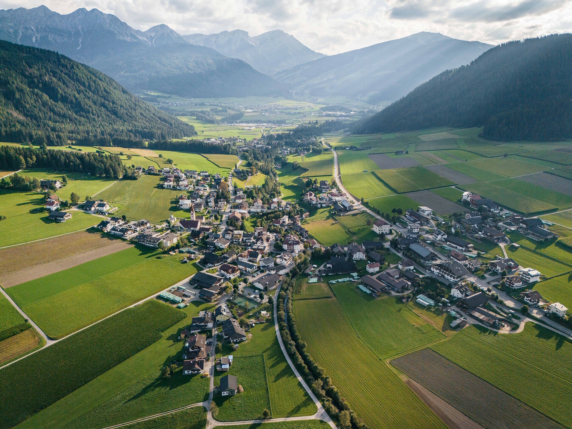
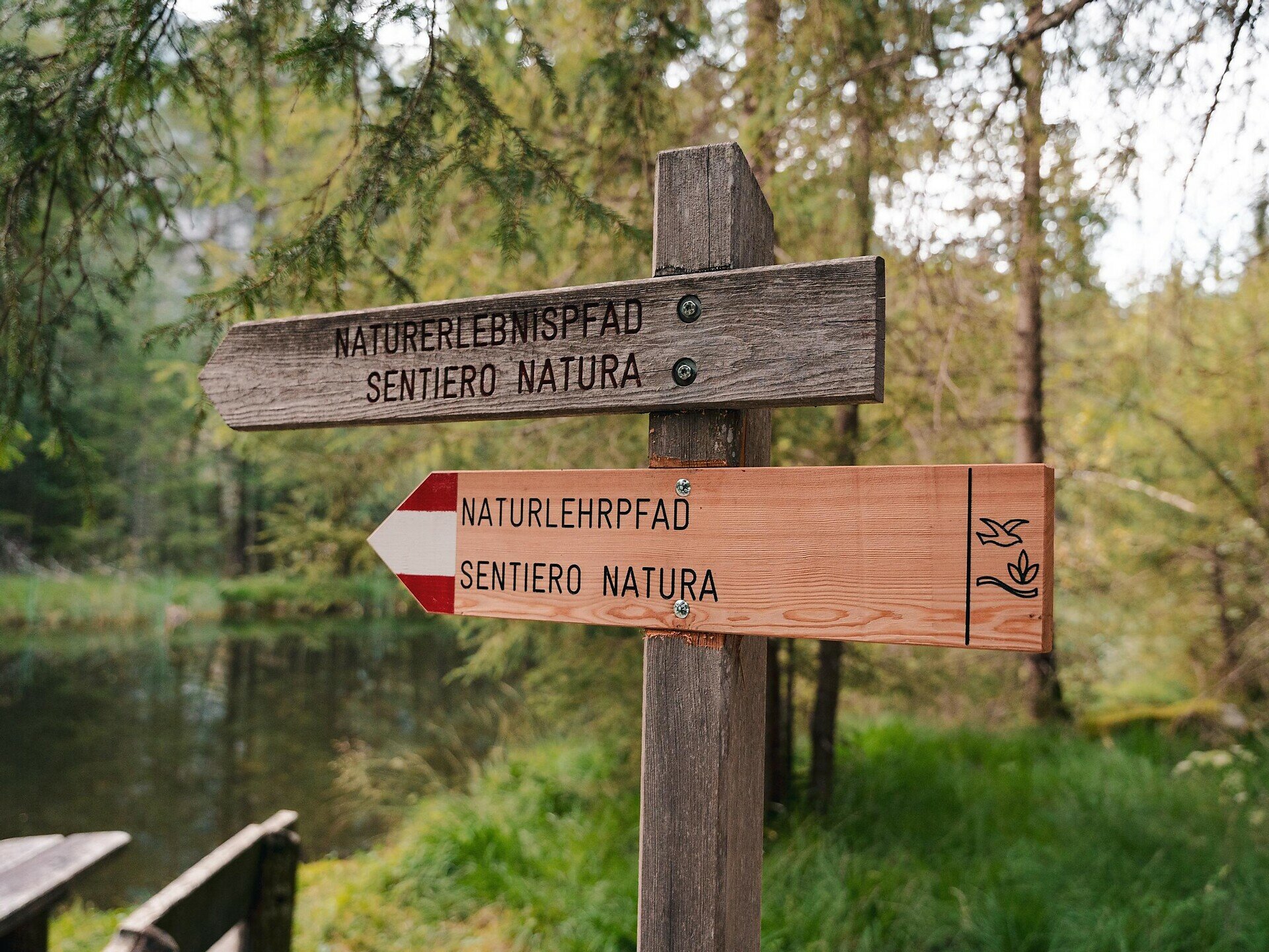
Family-friendly hike from Niederrasen via the water daventure area to the Rasner Möser biotope in Oberrasen with a nature trail.

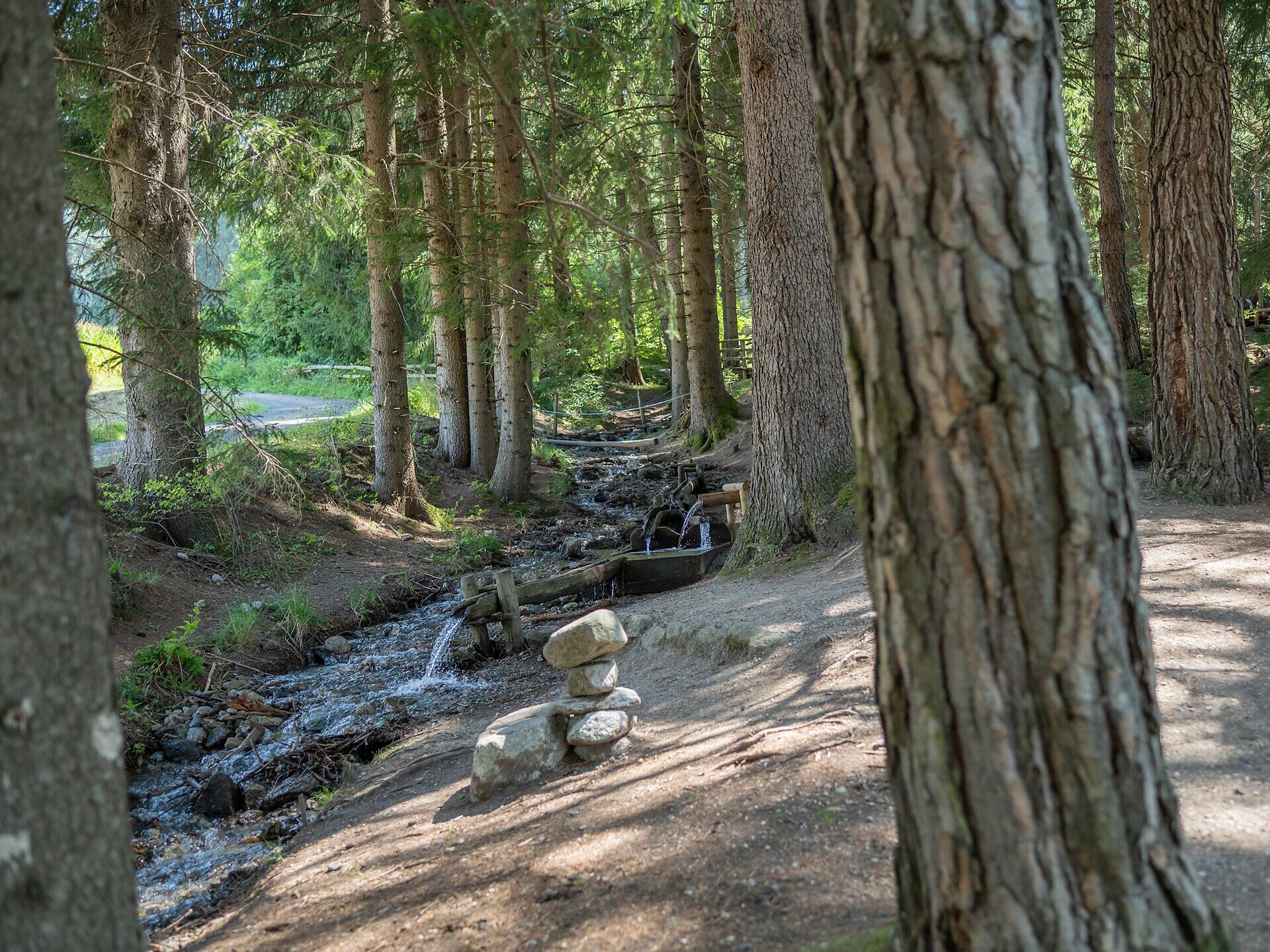
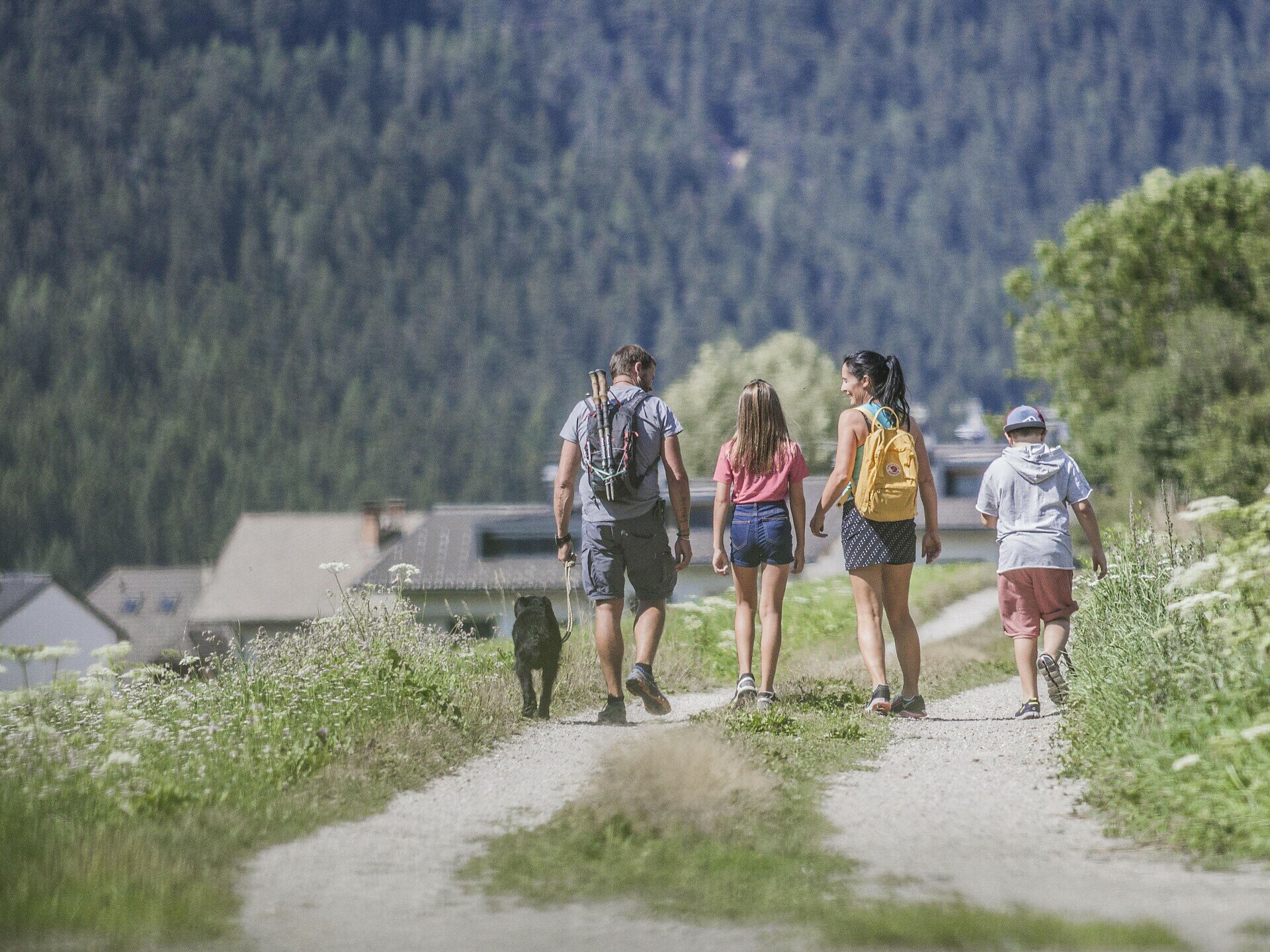
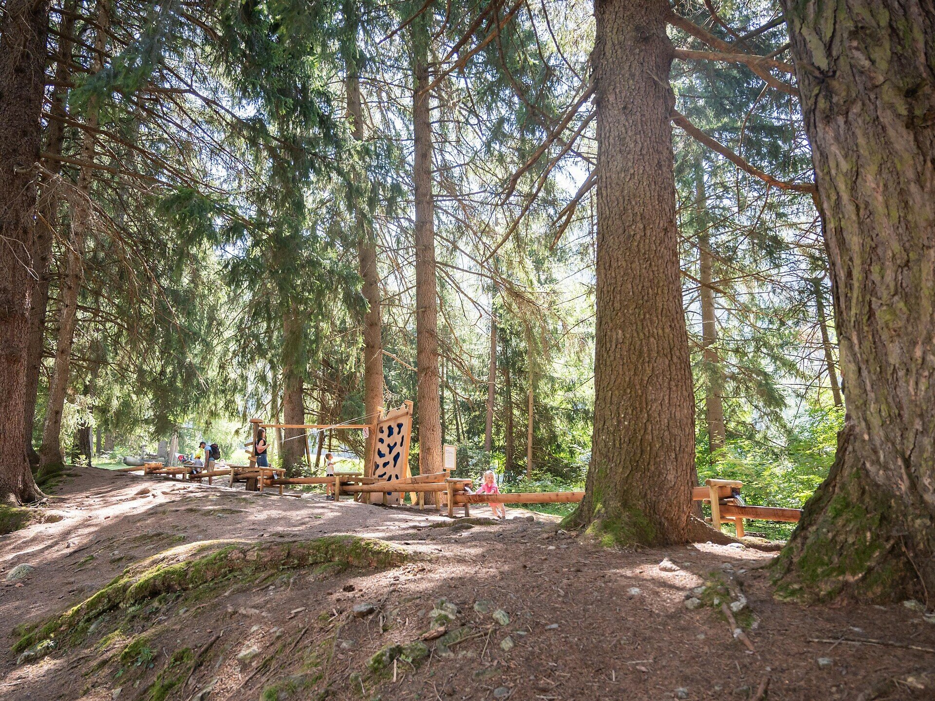
The hike from Niederrasen to the water adventure area "Wasserwaldile" and on to Oberrasen and the Rasner Möser biotope is a varied and family-friendly tour in the Antholz Valley. It combines nature experiences with playful elements and peaceful landscapes.

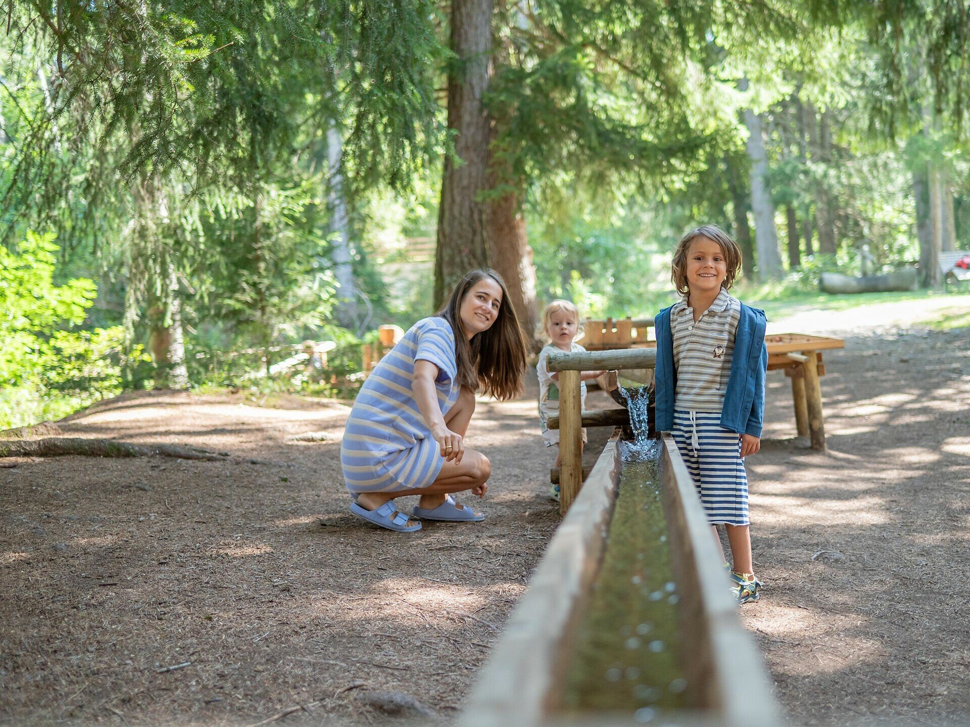
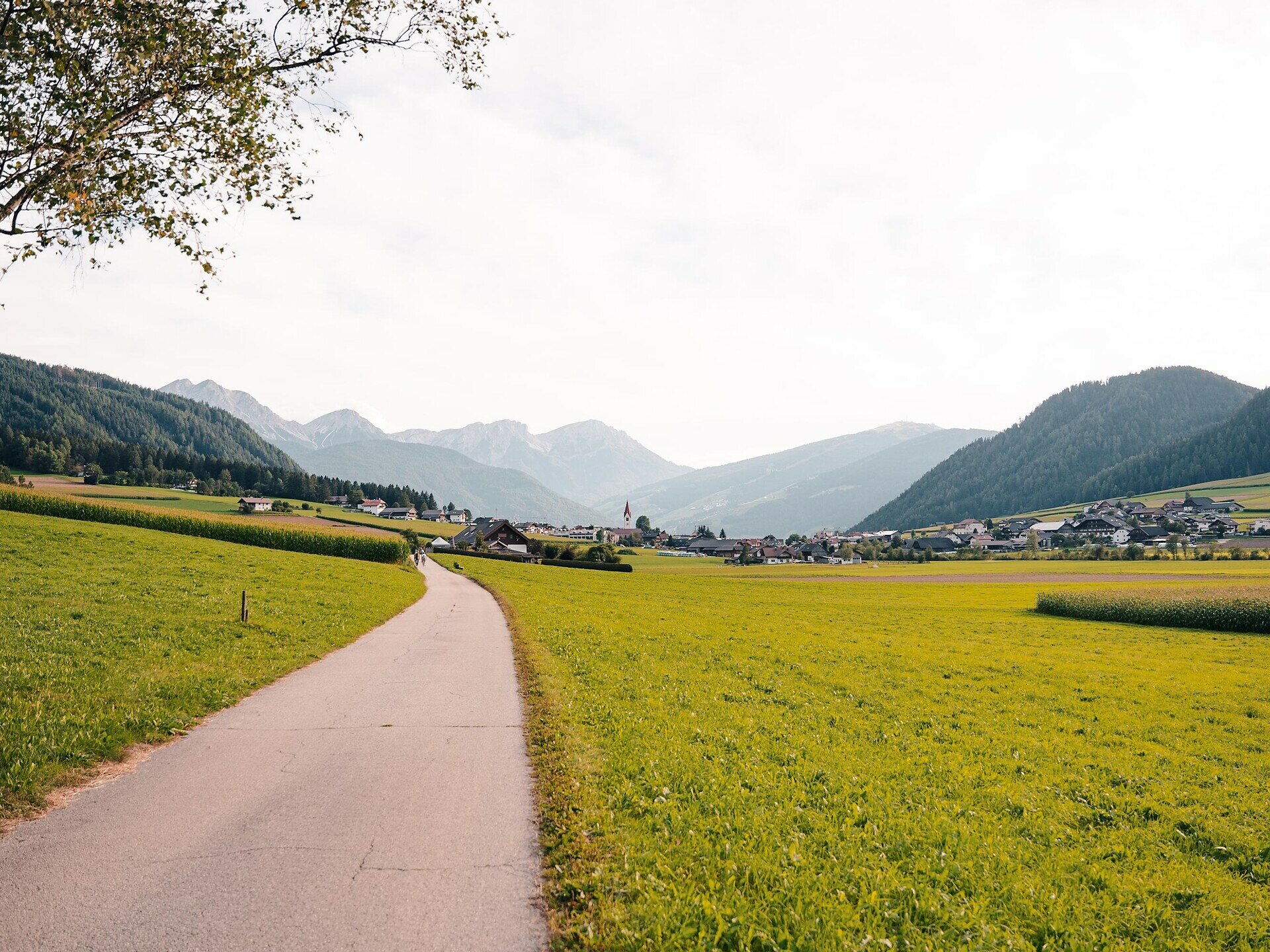
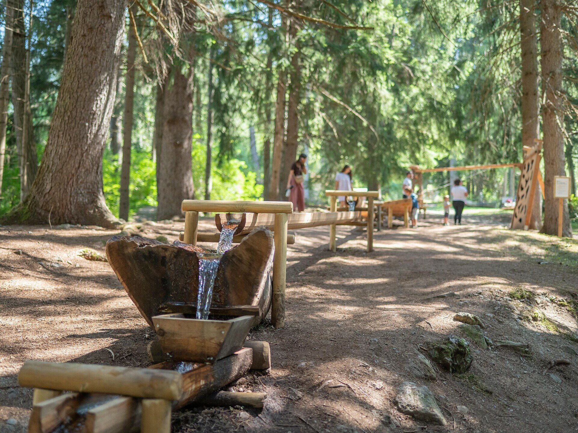
At the beginning, the route leads to “Wasserwaldile” water experience area, where various water games and installations invite exploration. The path then continues through open meadows towards Oberrasen.

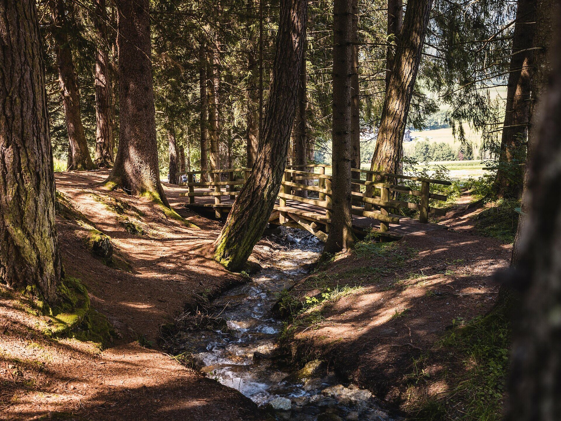
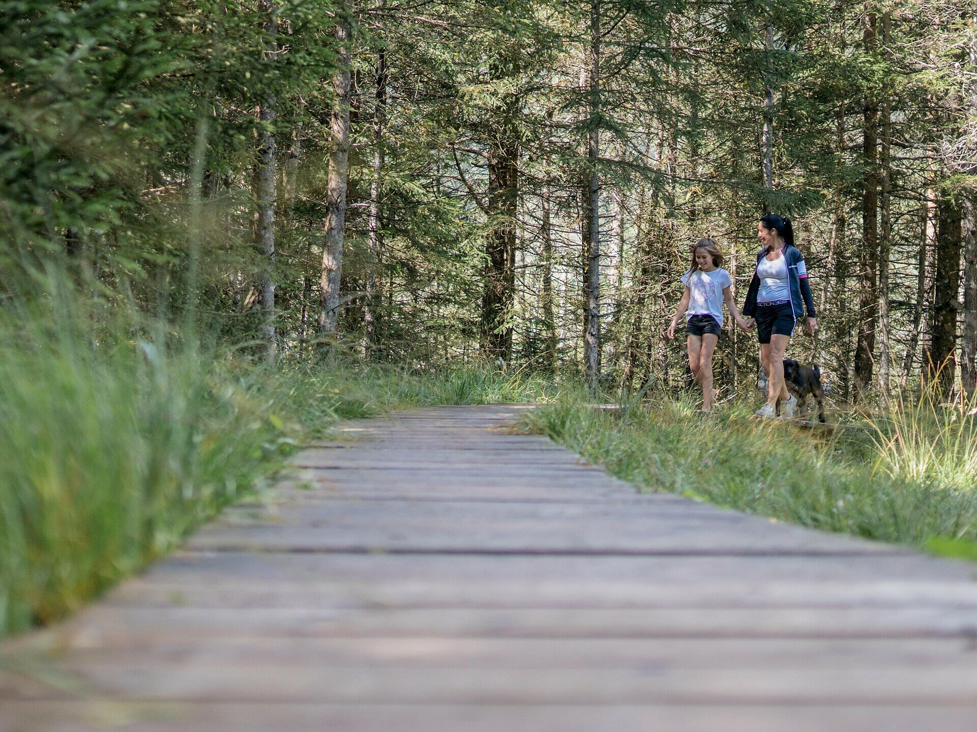
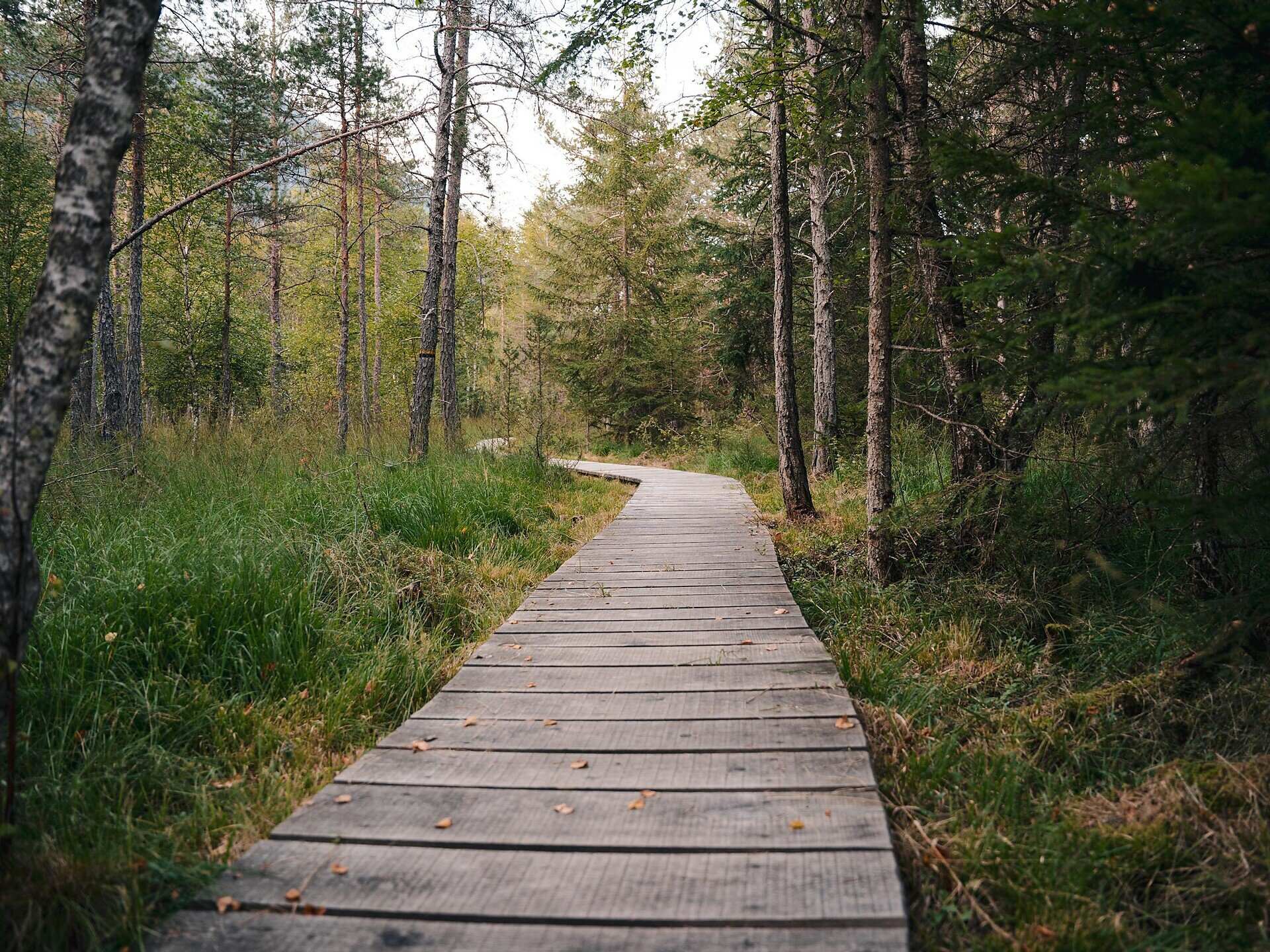
A special highlight is the Rasner Möser biotope, a protected wetland with diverse flora and fauna. A nature trail with wooden boardwalks allows visitors to explore this sensitive environment.

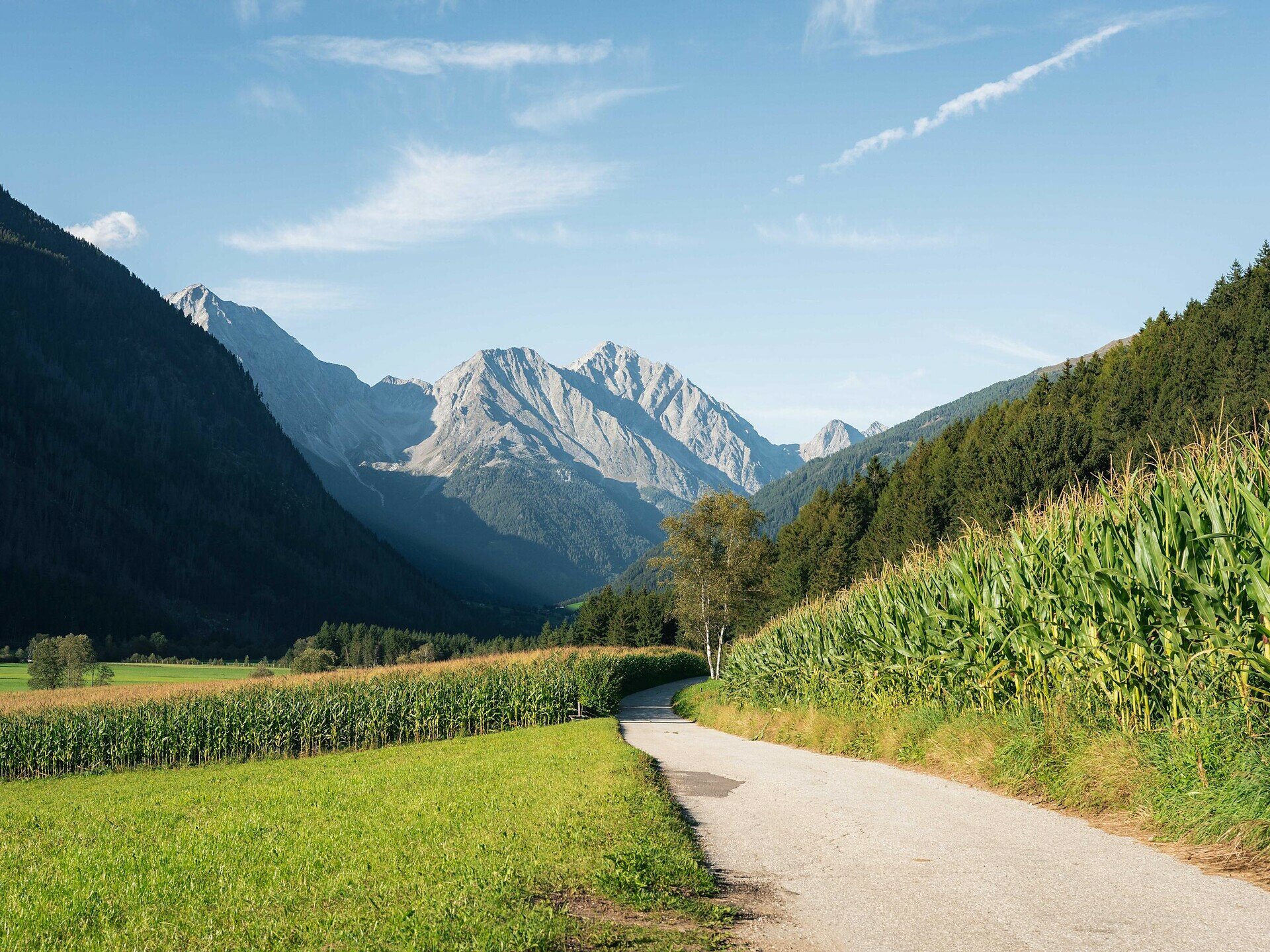
This tour is ideal for families and anyone who wants to enjoy nature and outdoor activity in a peaceful setting.
Tags
  • Dog-friendly
  • Suitable for strollers
  • Family-friendly
Route data
Easy
Distance
8,9 km
Duration
2 h 22 min
Ascent
116 m
Decent
123 m
Physical condition
Scenary
Highest point
1.136 m
Lowest point
1.026 m
Suggestions
This tour is particularly suitable for families with children, as the water adventure area offers playful experiences and the nature trail in the biotope provides interesting insights into nature. Both the "Wasserwaldile" and the Rasner Möser biotope are mostly located in shaded forest areas, making the hike pleasant even on warm summer days.
You might be interested in
Discover related tours
Hochrautalm Hut | © TV Antholzertal, Tourismusgenossenschaft Antholzertal
Intermediate
Add to favourites
Antholz Valley
Hochrautalm Hut
Distance 2,7 km
Duration 1 h 45 min
Ascent 544 m
Decent 42 m
Status
open
Urig Trail Antholz Valley | © Tourismusgenossenschaft Antholzertal
Intermediate
Add to favourites
Antholz Valley
Circular hike via the Urigsteig to Grüblalm hut
Distance 9,8 km
Duration 4 h 35 min
Ascent 865 m
Decent 865 m
Status
closed
Obersee | © Tourismusgenossenschaft Antholzertal
Intermediate
Add to favourites
Antholz Valley
Panoramic circular hike via Steinzger Alm hut and Vogelgrand to Staller Saddle
Distance 11,4 km
Duration 4 h 25 min
Ascent 665 m
Decent 665 m
Status
closed
Antholz Valley
Rasen village loop: circular hike between Niederrasen and Oberrasen
Distance 8,8 km
Duration 2 h 30 min
Ascent 238 m
Decent 238 m
Status
open
Valle Anterselva / Antholzertal | © Tourismusgenossenschaft Antholzertal
Intermediate
Add to favourites
Antholz Valley
Agstalm Hut
Distance 5,2 km
Duration 2 h 10 min
Ascent 643 m
Decent 0 m
Status
open
Antholz Valley
Circular route Antholz Mittertal
Distance 4,4 km
Duration 1 h 30 min
Ascent 150 m
Decent 150 m
Status
open