Top

Lake Antholz circular trail

Antholz Valley
Add to favourites
Difficulty
Easy
Duration
1:30
in hours
Distance
3.4
in km
Status
open
Categories
  • Hiking trail
Tags
  • Suitable for strollers
  • Accessibility
  • Family-friendly
Suggested period
Jan
Feb
Mar
Apr
May
Jun
Jul
Aug
Sep
Oct
Nov
Dec
NEW: MOVE calculates your personal route time for this tour.
Find out more about the project
Easy nature trail around Lake Antholz with information boards and impressive mountain scenery.

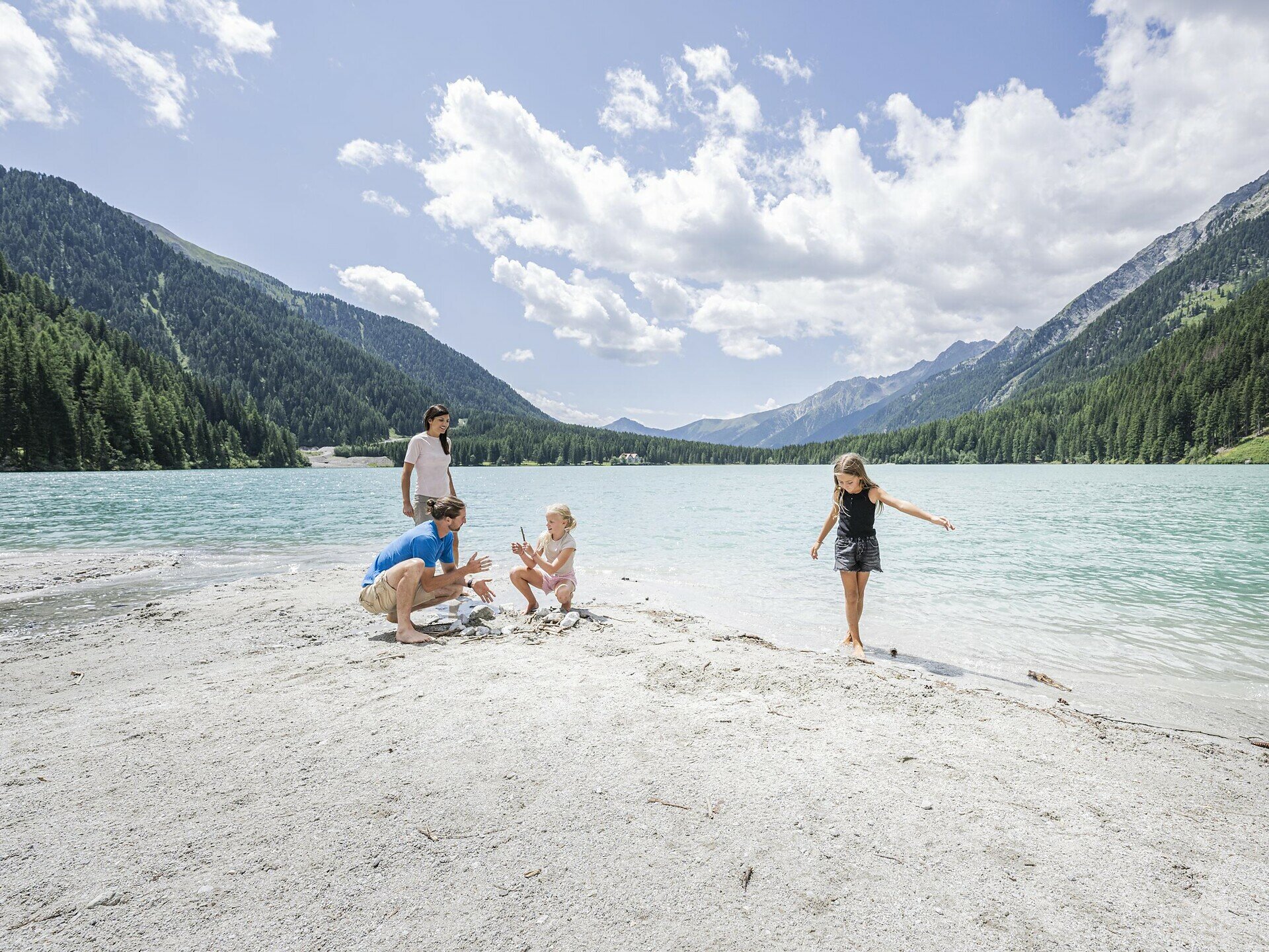
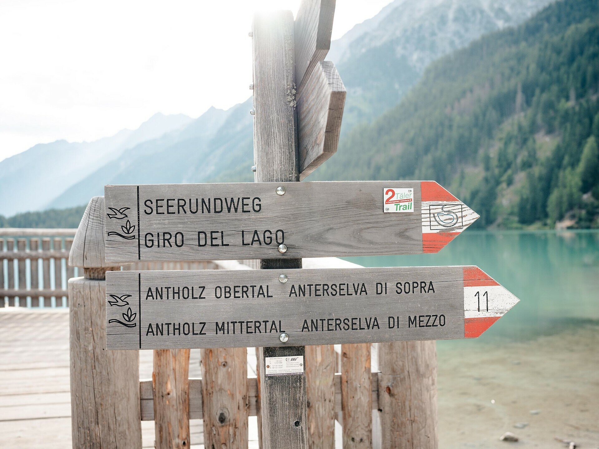
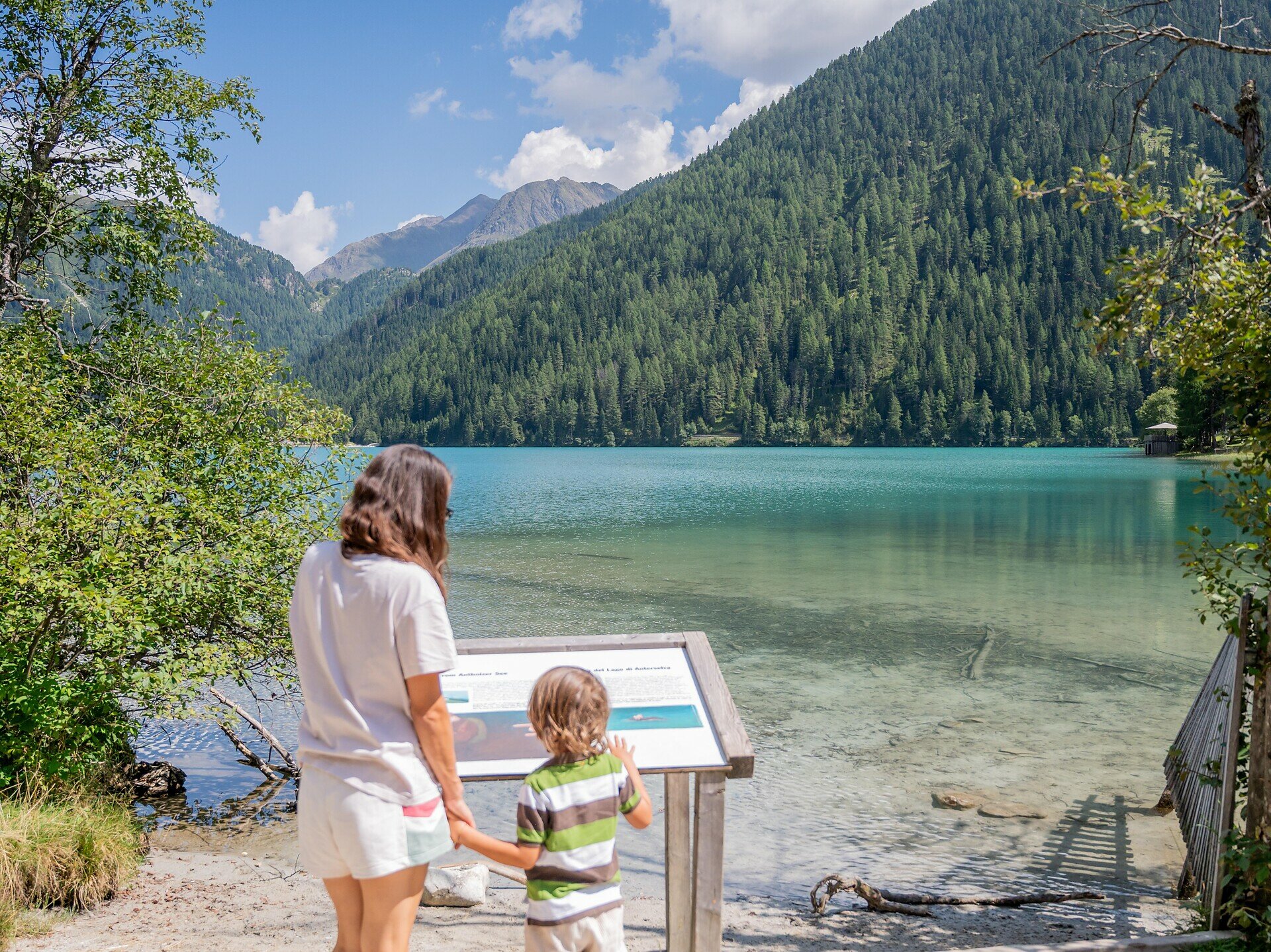
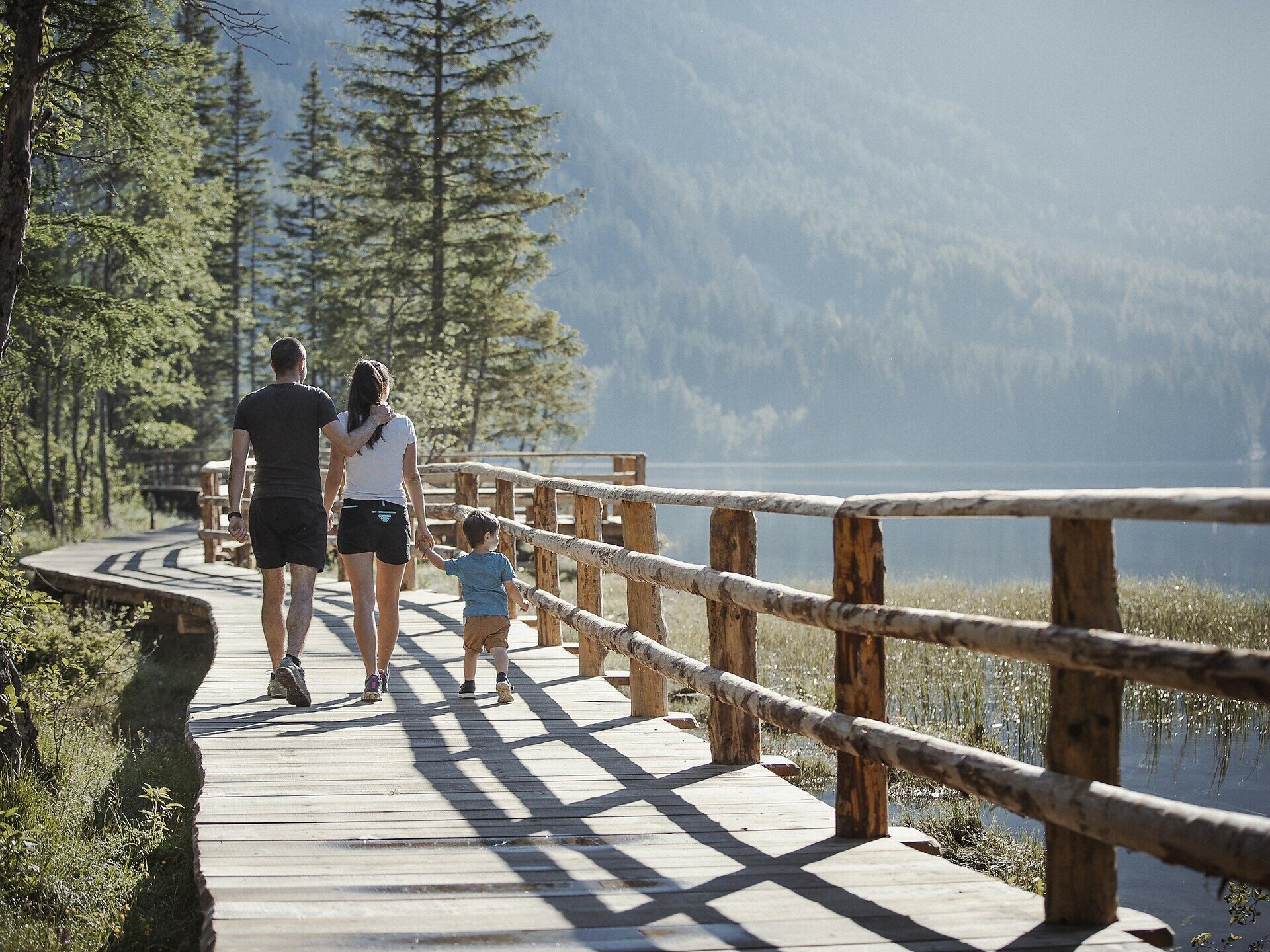
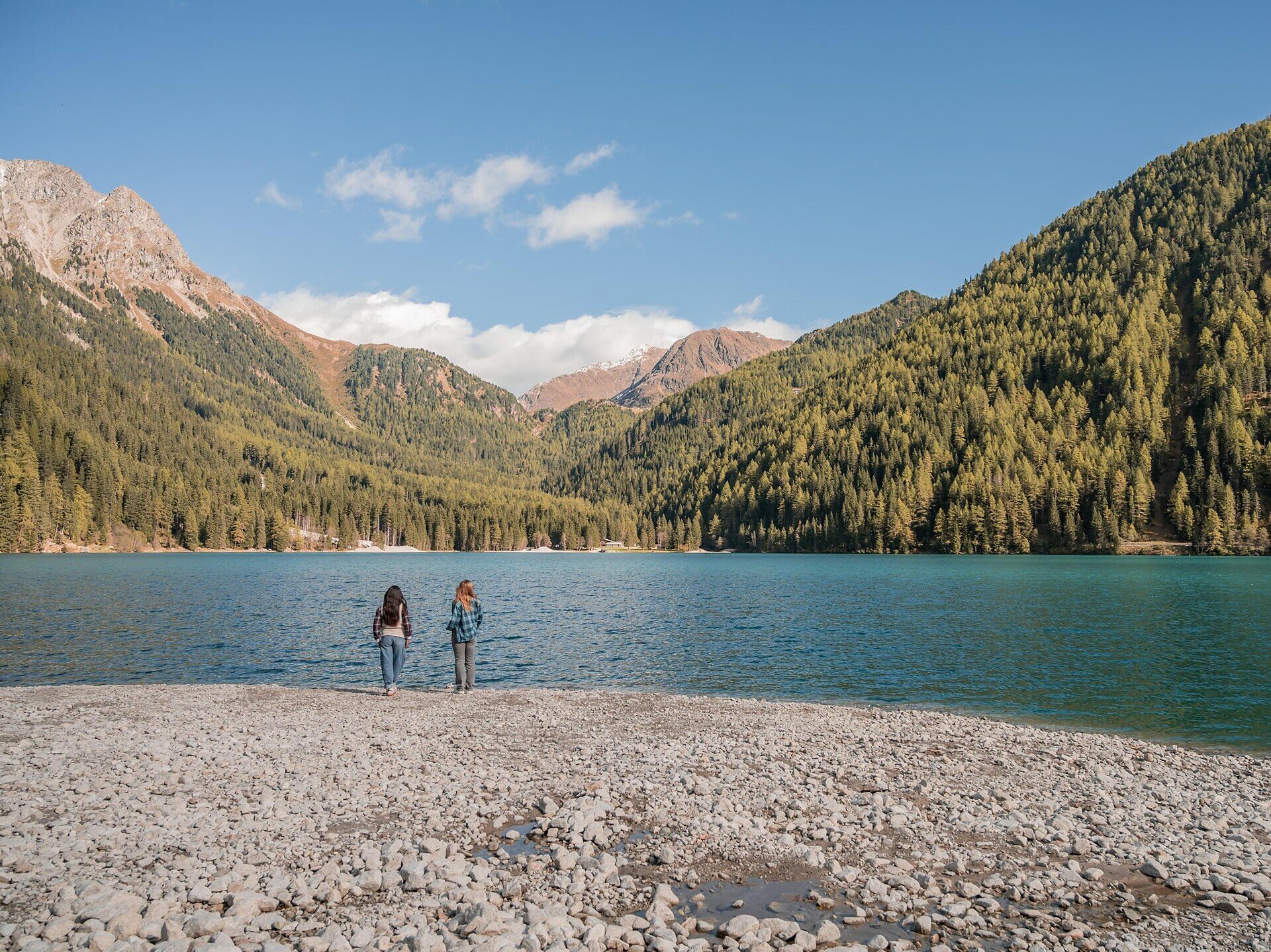
The circular trail around Lake Antholz is a particularly beautiful and easy nature walk in the upper Antholz Valley. The path leads all the way around the emerald-green mountain lake, set within the stunning scenery of the Rieserferner mountain group.

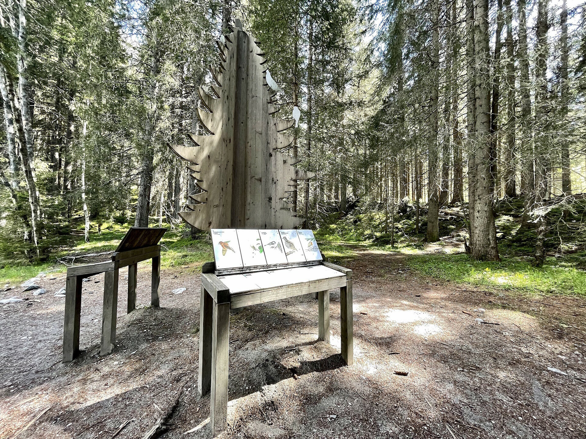
Along the route, numerous information boards provide insights into the local flora and fauna, the formation of the lake, and the unique characteristics of this protected natural area.

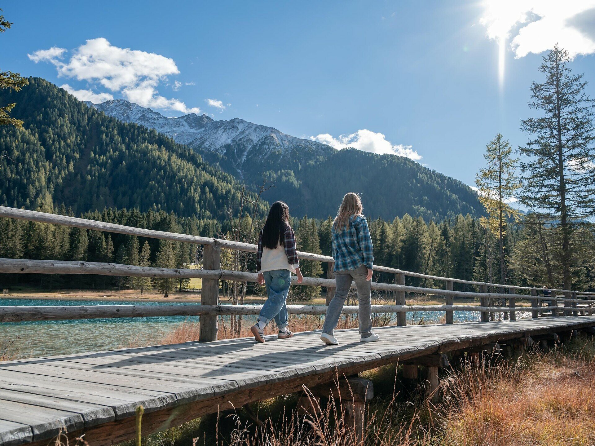
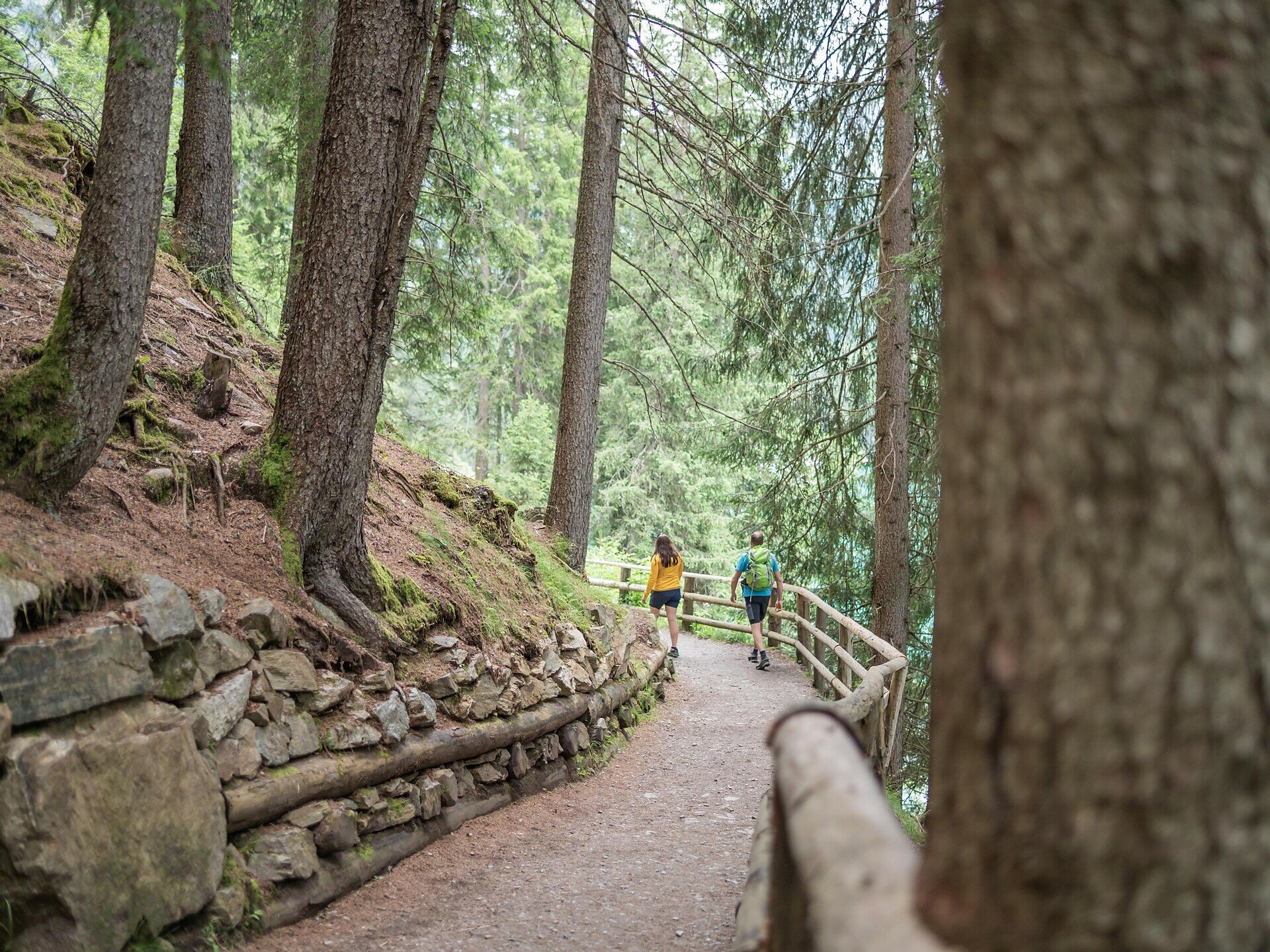
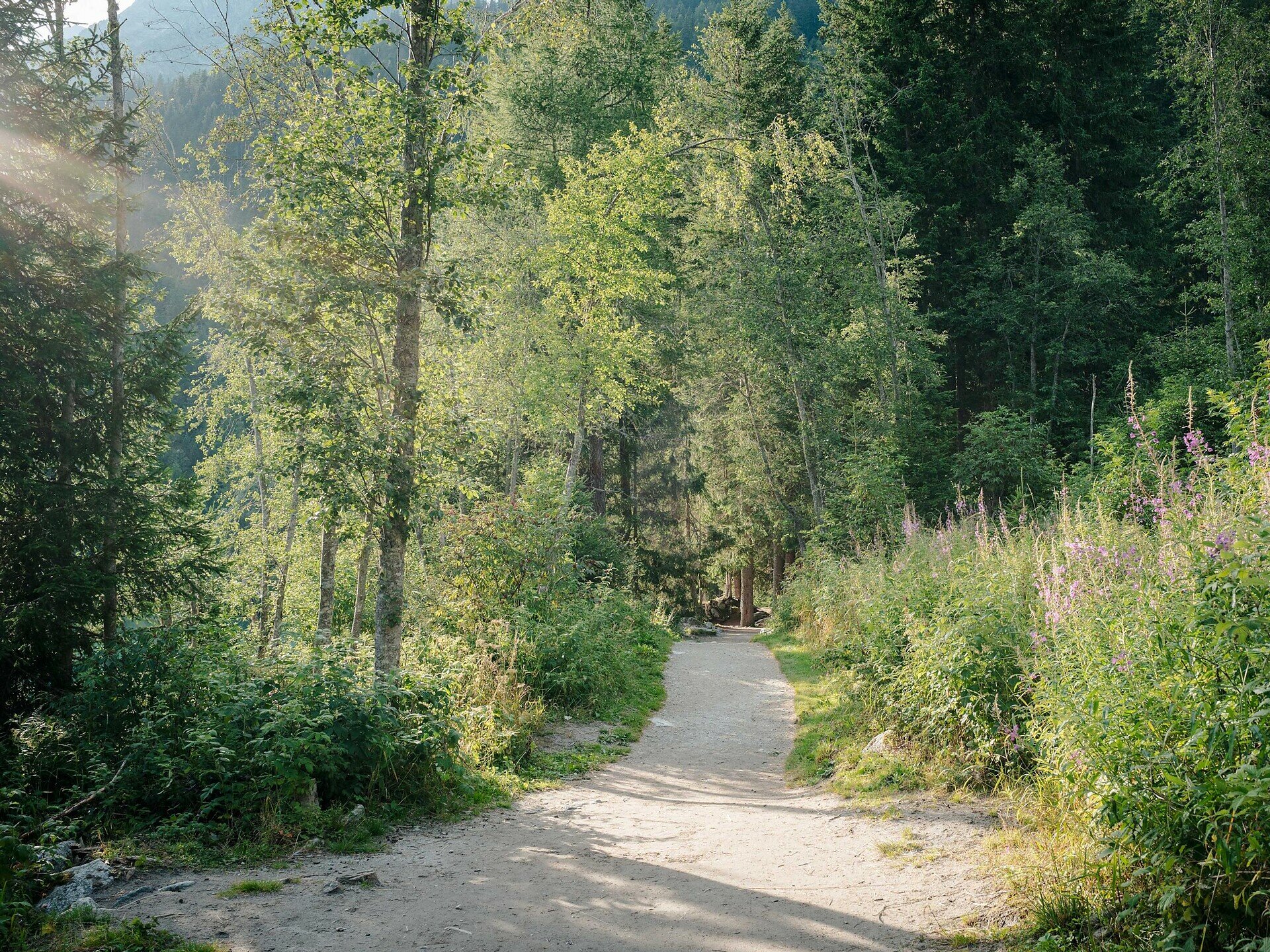
The trail is mostly flat and well maintained, making it ideal for families, walkers and nature lovers. Beautiful views of the lake and the surrounding mountains open up along the way.

The circular trail is a perfect destination for a relaxing walk and can easily be combined with a stop at one of the nearby refreshment places.
Gallery
Categories
  • Hiking trail
Tags
  • Suitable for strollers
  • Accessibility
  • Family-friendly
Route data
Easy
Distance
3,4 km
Duration
1 h 30 min
Ascent
79 m
Decent
79 m
Physical condition
Scenary
Highest point
1.681 m
Lowest point
1.642 m
Suggestions

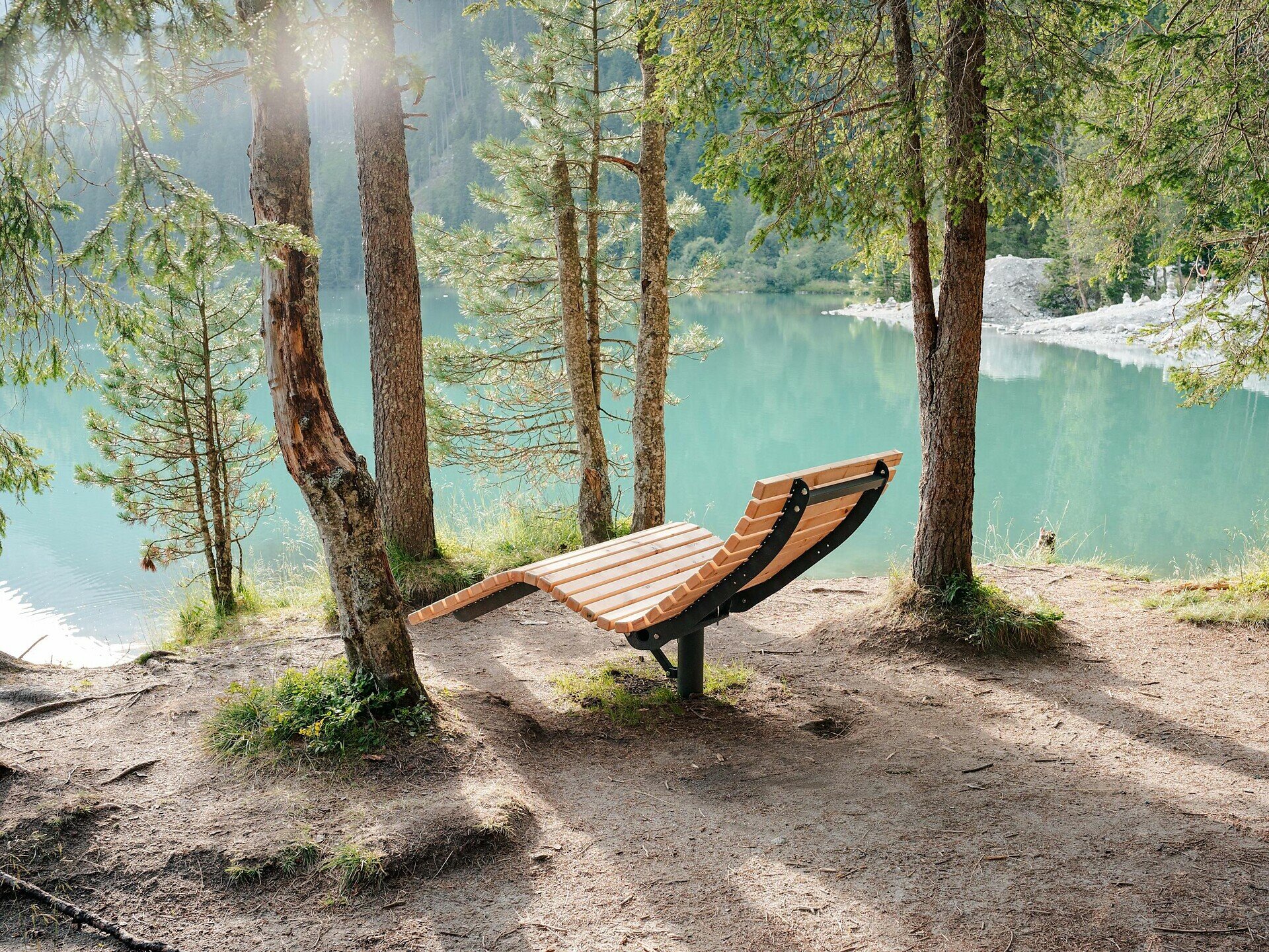
The lake circuit can be perfectly combined with a relaxing break along the shore. Several quiet and scenic spots around the lake invite you to enjoy nature. It is especially beautiful in autumn, when the surrounding forests turn colourful and create a unique atmosphere.

You might be interested in
Discover related tours
Urig Trail Antholz Valley | © Tourismusgenossenschaft Antholzertal
Intermediate
Add to favourites
Antholz Valley
Circular hike via the Urigsteig to Grüblalm hut
Distance 9,8 km
Duration 4 h 35 min
Ascent 865 m
Decent 865 m
Status
open
Laner Alm hut | © Schuster Barbara, Tourismusgenossenschaft Antholzertal
Intermediate
Add to favourites
Antholz Valley
Hike from the Oberrasen barbecue area to Laner Alm hut
Distance 3,5 km
Duration 1 h 55 min
Ascent 869 m
Decent 309 m
Status
open
Obersee | © Tourismusgenossenschaft Antholzertal
Intermediate
Add to favourites
Antholz Valley, Other
Panoramic circular hike via Steinzger Alm hut and Vogelgrand to Staller Saddle
Distance 11,6 km
Duration 4 h 25 min
Ascent 695 m
Decent 694 m
Status
open
Altrasen ruins Antholz Valley | © Tourismusgenossenschaft Antholzertal
Intermediate
Add to favourites
Antholz Valley
Ruins circular hike in Niederrasen
Distance 4,4 km
Duration 2 h 00 min
Ascent 390 m
Decent 390 m
Status
open
Dolomites panoramic view tour Antholz Valley | © Tourismusgenossenschaft Antholzertal
Intermediate
Add to favourites
Antholz Valley
Dolomites panoramic view tour
Distance 9,3 km
Duration 3 h 20 min
Ascent 532 m
Decent 532 m
Status
open
Hiking in the Antholz Valley | © Tourismusgenossenschaft Antholzertal
Intermediate
Add to favourites
Antholz Valley
Panoramic circular hike on the Antholz Mittertal High Walk
Distance 6,7 km
Duration 2 h 50 min
Ascent 567 m
Decent 567 m
Status
open