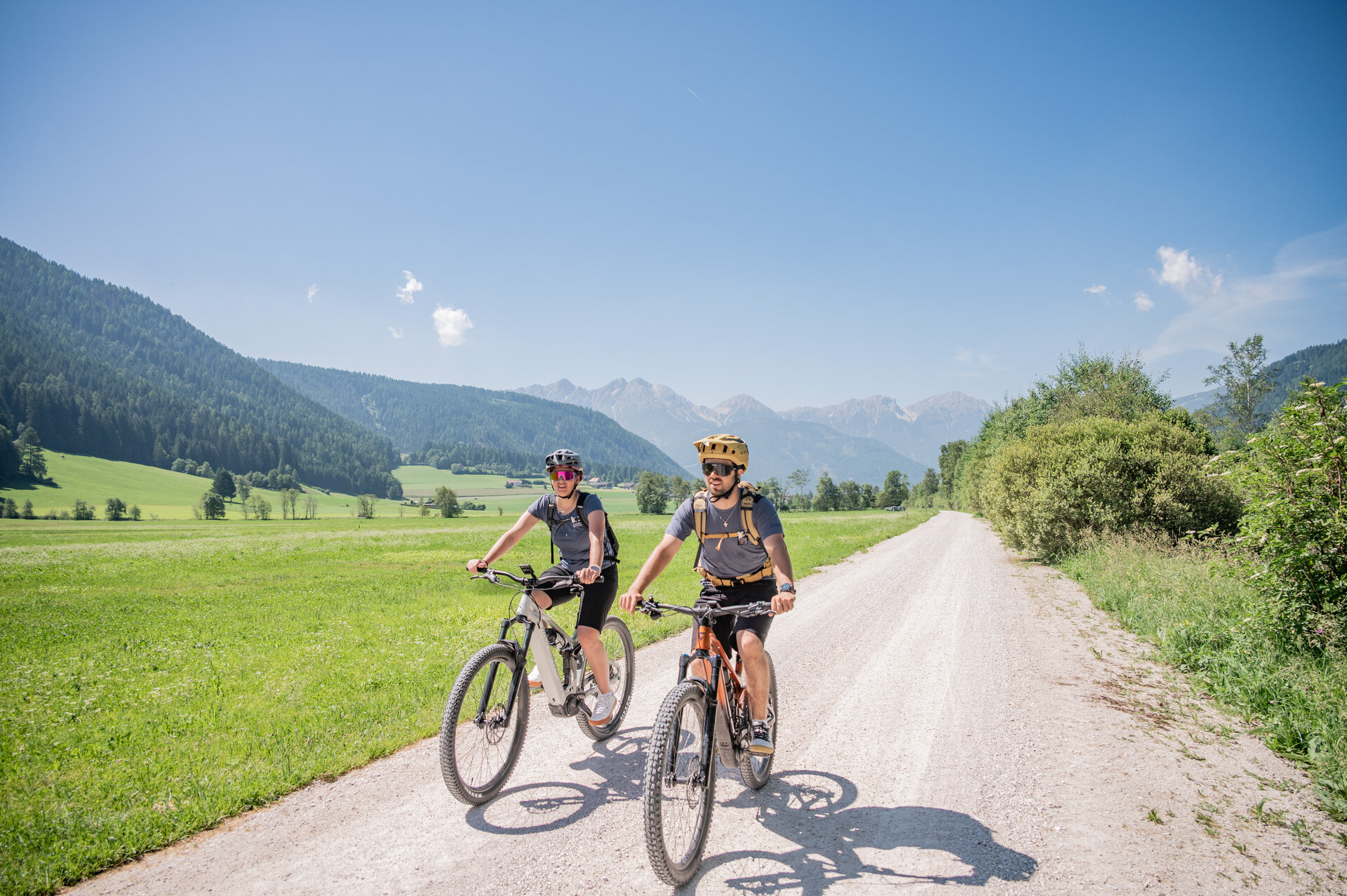
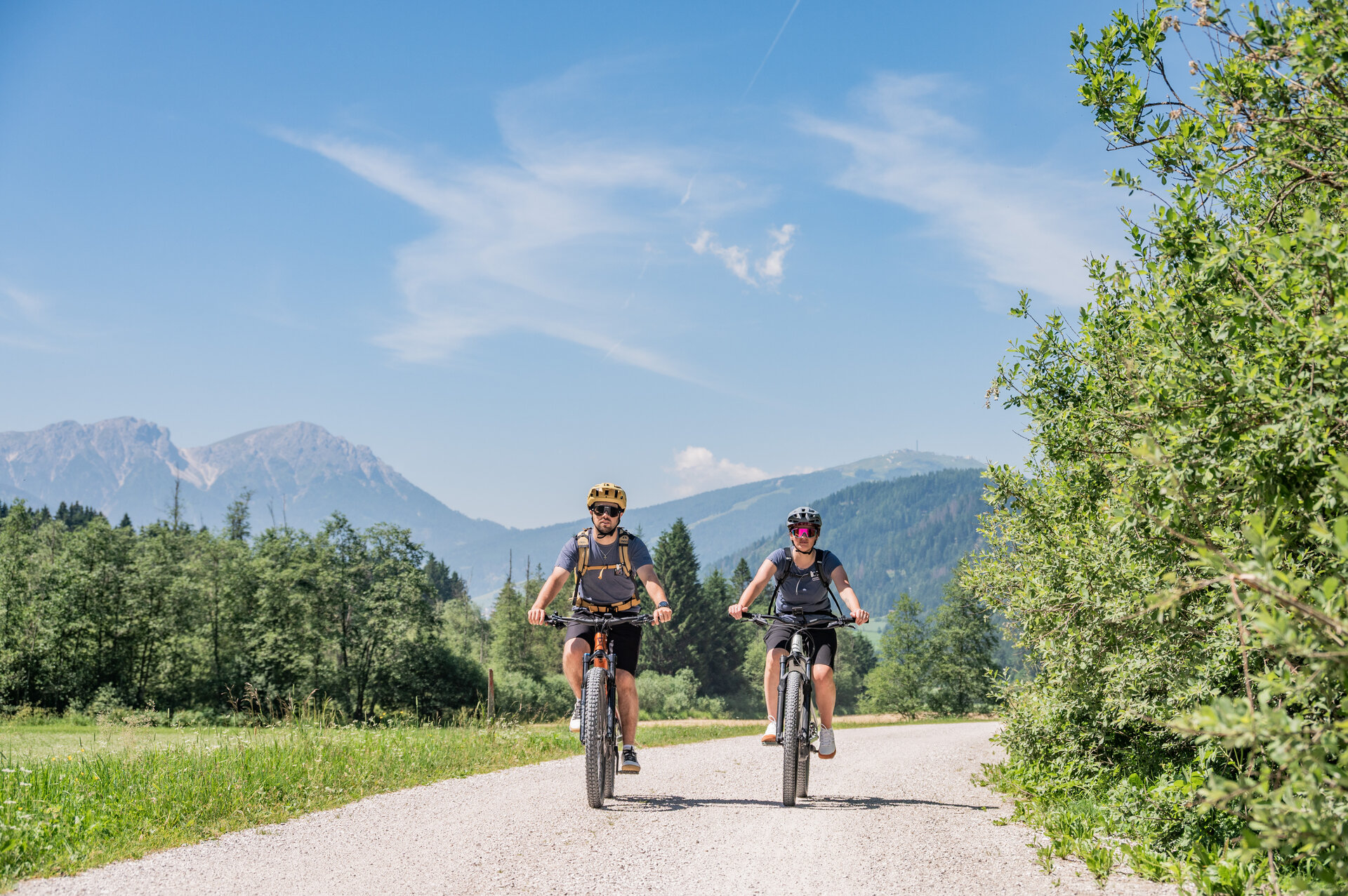
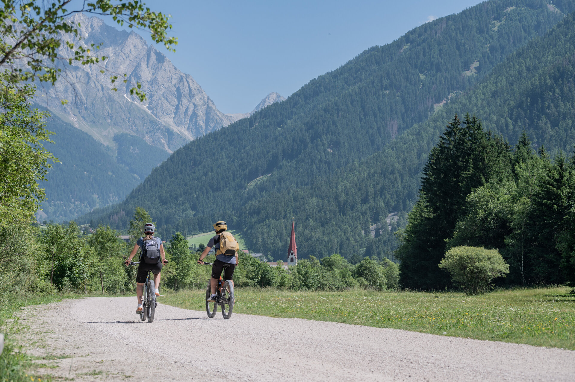
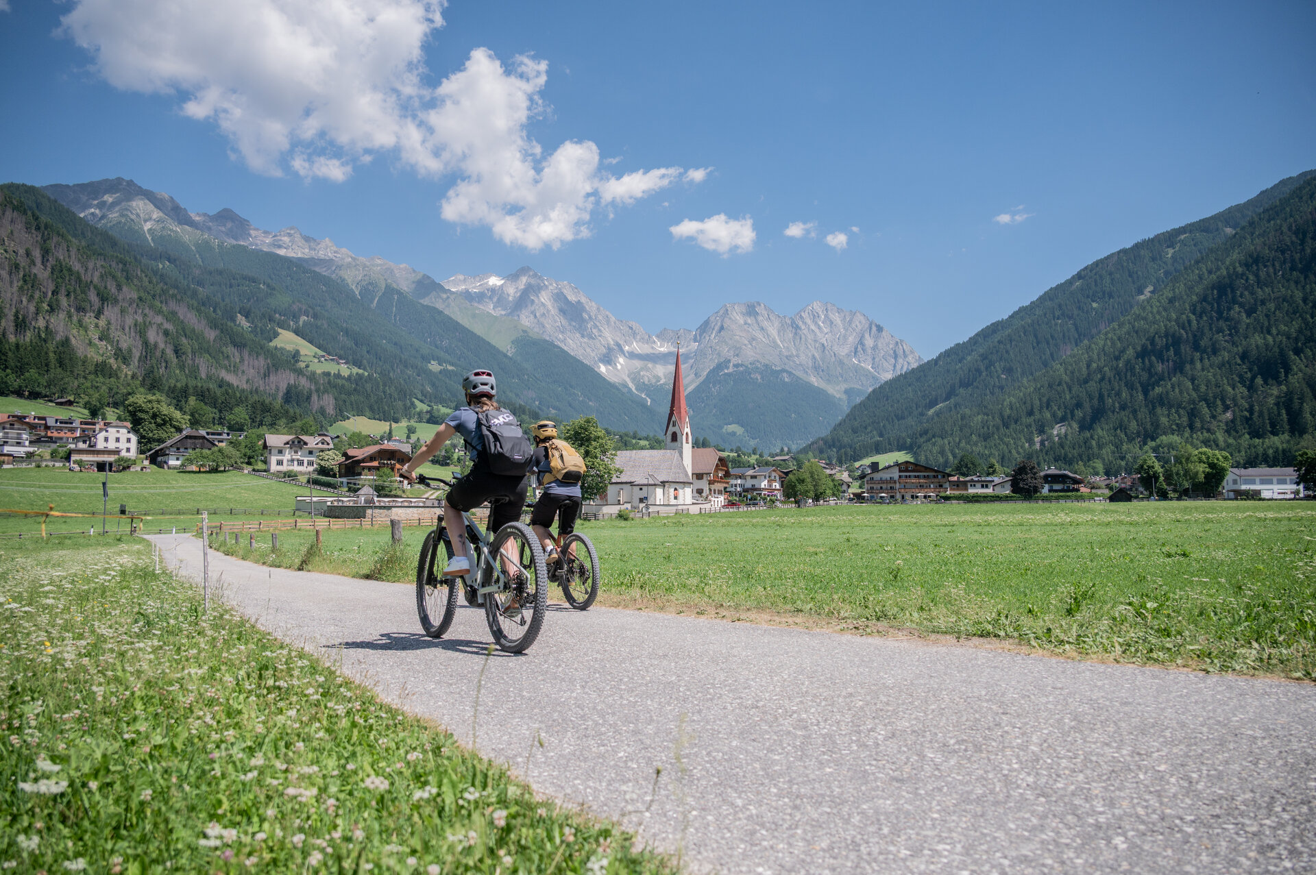
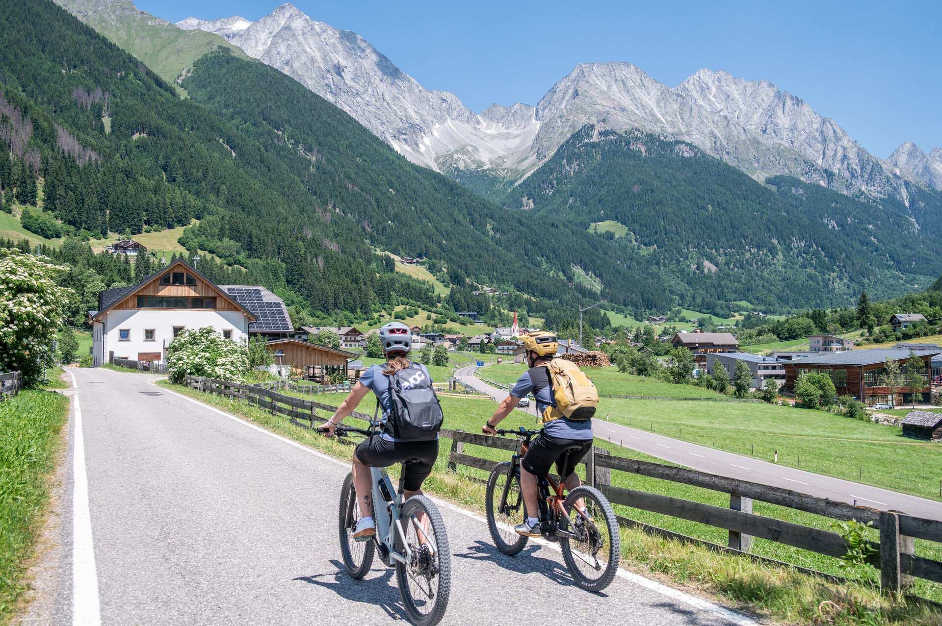
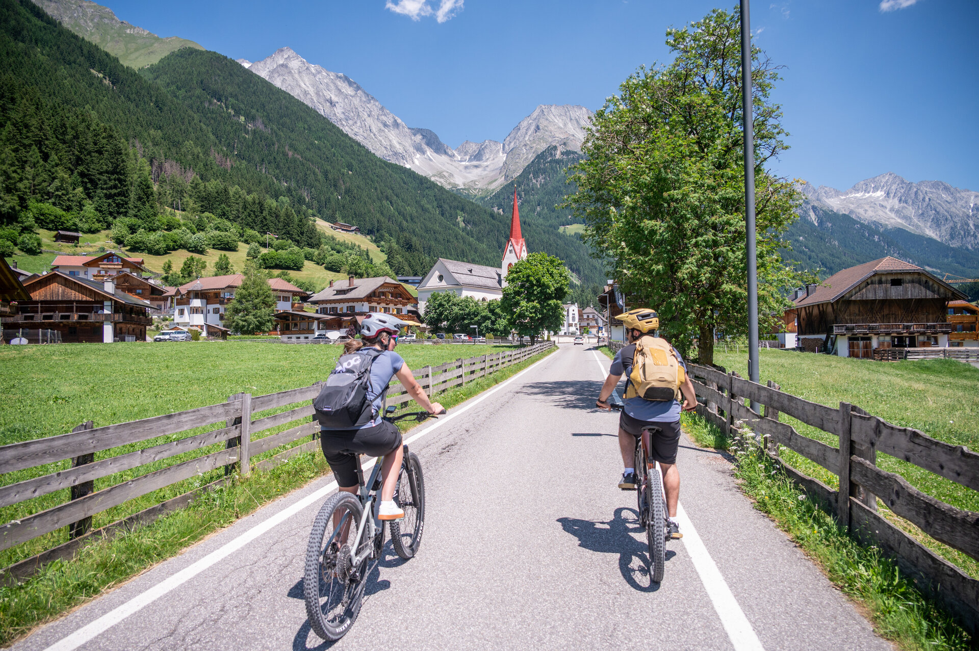
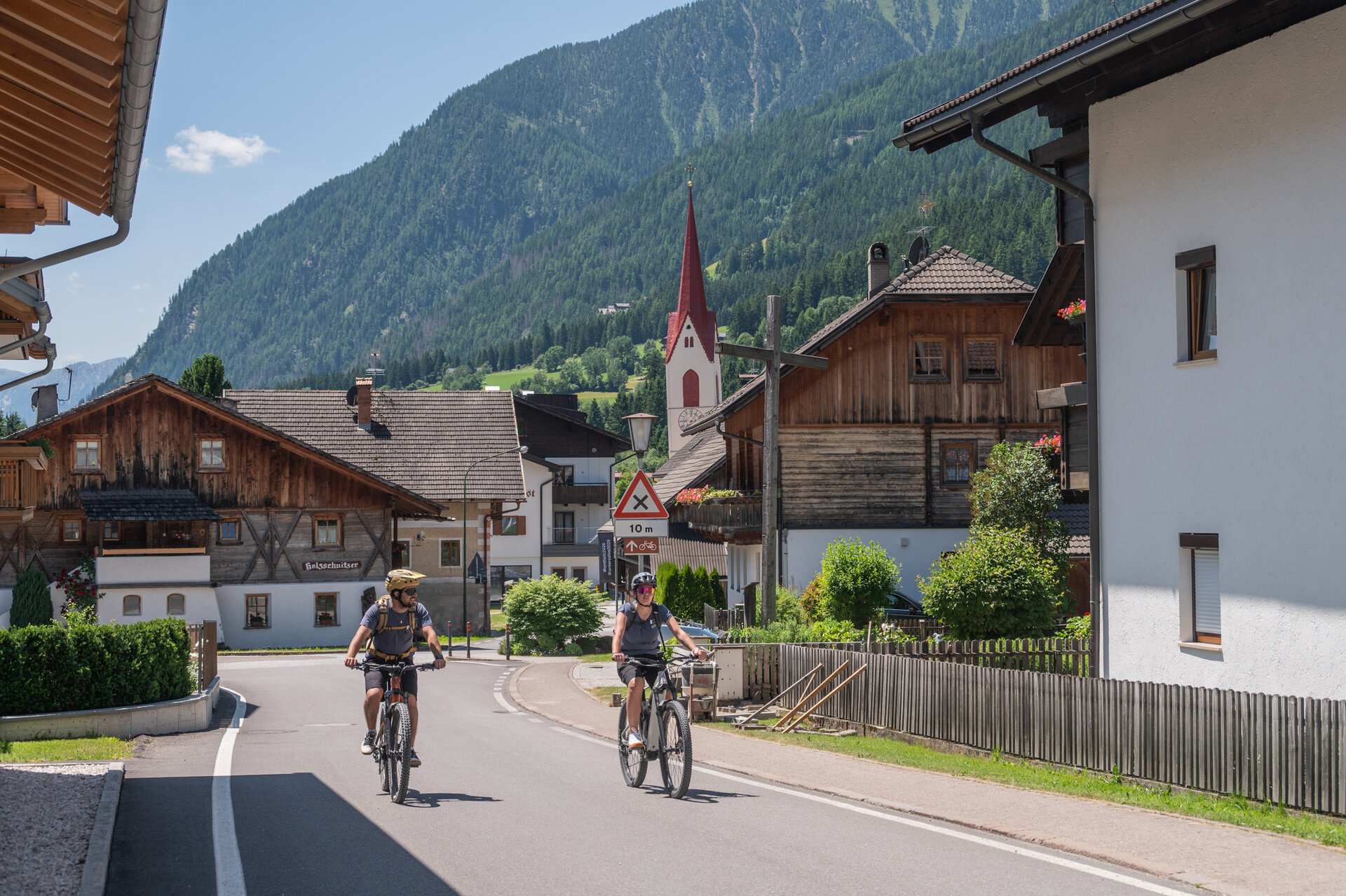
Bike route Antholz Valley

Add to favourites
Category
Difficulty
Easy
Duration
0:49
in hours
Distance
12.3
in km

This easy and family-friendly bike tour takes us from Antholz-Mittertal over a distance of approximately 12 km to Neunhäusern. Along the route, we pass the Rasner Mösner biotope and enjoy the untouched nature of the Antholz Valley. Other highlights on this route are the MTB area, the fish pond in Antholz Niedertal and the leisure park in Niederrasen. In the first section we cycle on a well-prepared gravel path and the rest of the route on paved roads. Along the way, there are plenty of opportunities to stop for refreshments in the various villages of the Antholz Valley.

Route data
Easy
Distance
12,3 km
Duration
49 min
Ascent
7 m
Decent
249 m
Highest point
1.243 m
Lowest point
1.001 m
You might be interested in
Discover related tours
Walk through the village of San Candido | © Kottersteger Manuel - TV Antholzertal
Intermediate
Add to favourites
To Innichen
Distance 25,3 km
Duration 1 h 46 min
Ascent 312 m
Decent 168 m
Reinbach Waterfalls | © TV Antholzertal, Tourismusverein Antholzertal
Intermediate
Add to favourites
Antholz Valley
To Sand in Taufers to the starting point of the Waterfalls Reinbach
Distance 32,9 km
Duration 2 h 13 min
Ascent 167 m
Decent 396 m
Status
closed
Antholz Valley
To the Staller Saddle
Distance 22,2 km
Duration 2 h 38 min
Ascent 1.424 m
Decent 376 m
Status
closed
Bike trail Val Pusteria | © Alex Filz, Tourismusverein Antholzertal
Intermediate
Add to favourites
Antholz Valley
Pustertal Valley bike route to Mühlbach
Distance 37,4 km
Duration 2 h 32 min
Ascent 202 m
Decent 473 m
Status
closed
Gsiesertal Valley | © TV Gsiesertal, Tourismusverein Antholzertal
Intermediate
Add to favourites
Antholz Valley
Through Hamlet Salla to Welsberg and Taisten
Distance 22,7 km
Duration 1 h 55 min
Ascent 1.093 m
Decent 1.093 m
Status
closed
Talradweg | © Skirama Praktikant, Kiens
Intermediate
Add to favourites
Antholz Valley
Pustertal Valley Bike Route
Distance 61,9 km
Duration 4 h 19 min
Ascent 468 m
Decent 878 m