Top

Alpine hike to Rieserferner Hut

Antholz Valley
Add to favourites
Category
Difficulty
Intermediate
Duration
4:00
in hours
Distance
6
in km
Status
closed
Suggested period
Jan
Feb
Mar
Apr
May
Jun
Jul
Aug
Sep
Oct
Nov
Dec
NEW: MOVE calculates your personal route time for this tour.
Find out more about the project
Challenging hike from Antholz Obertal or Antholz Mittertal to Rieserferner Hut in a high-alpine environment.

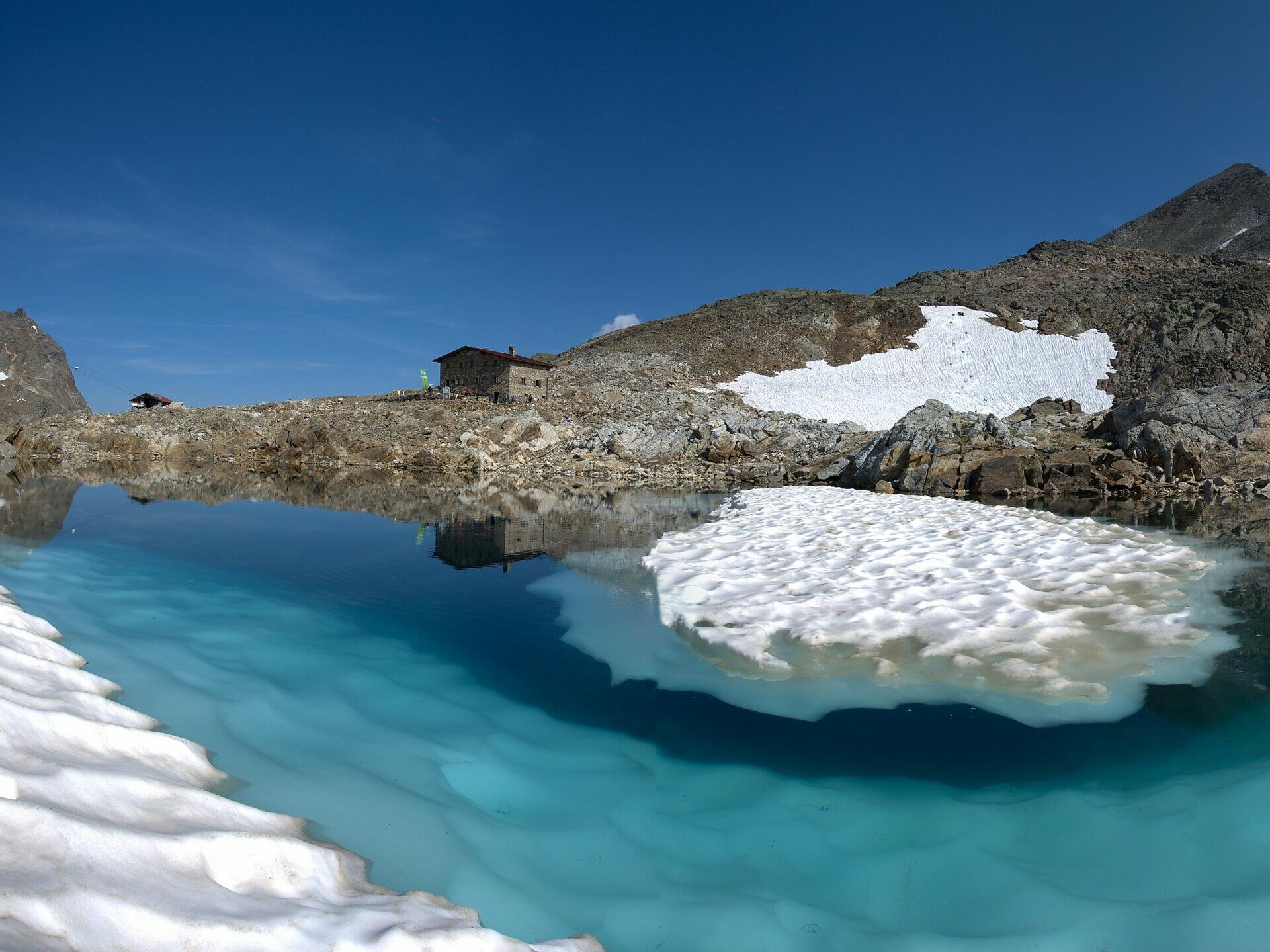
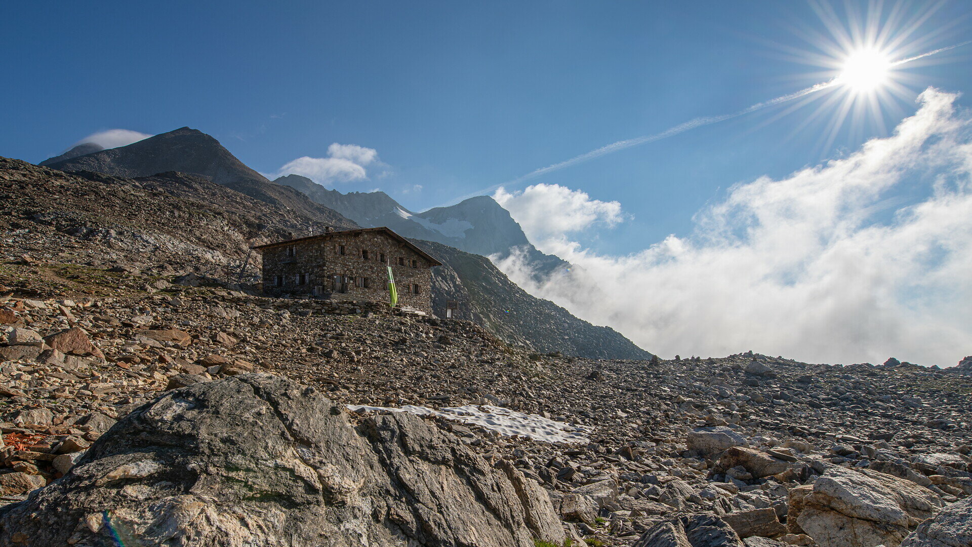
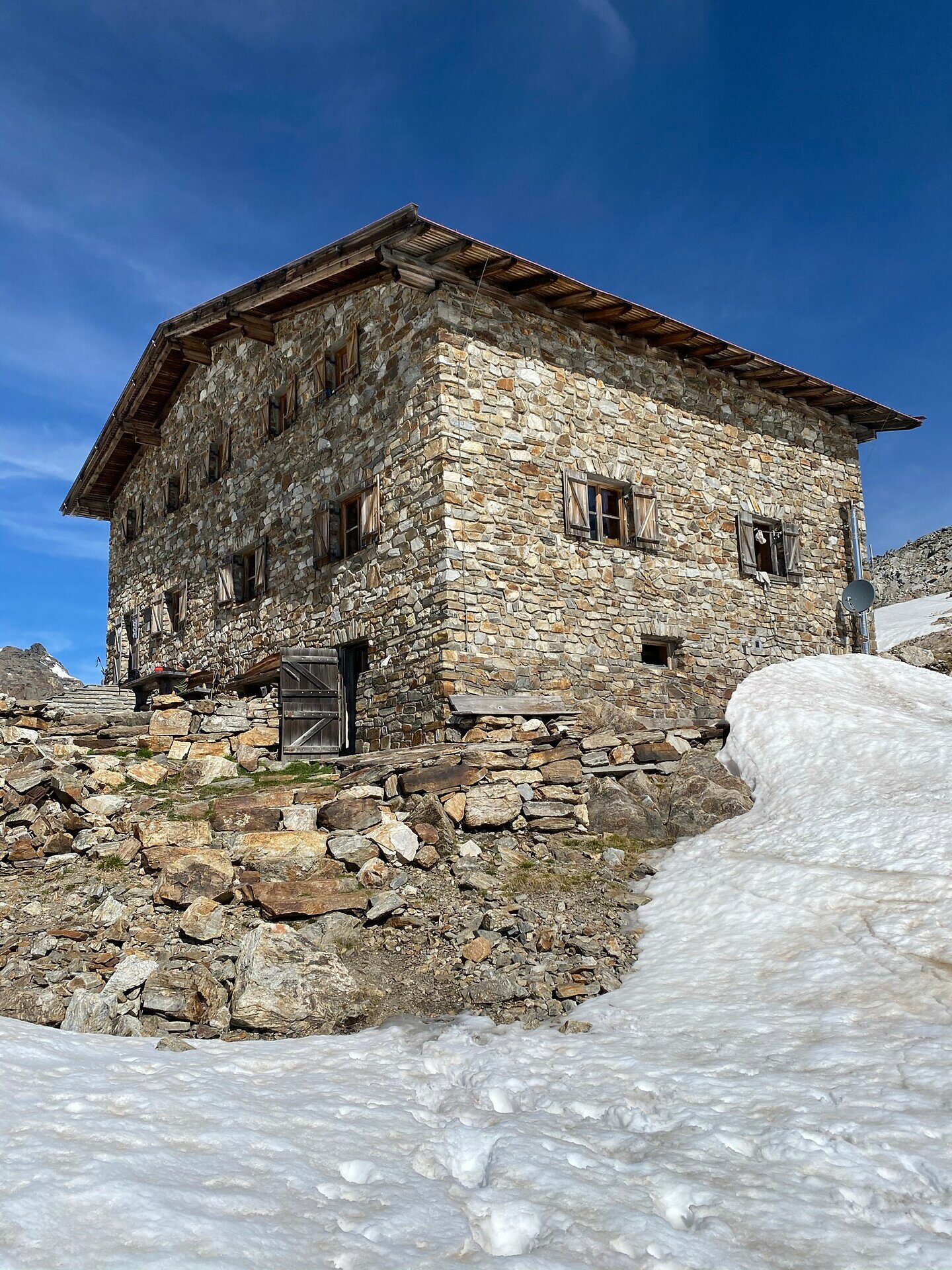
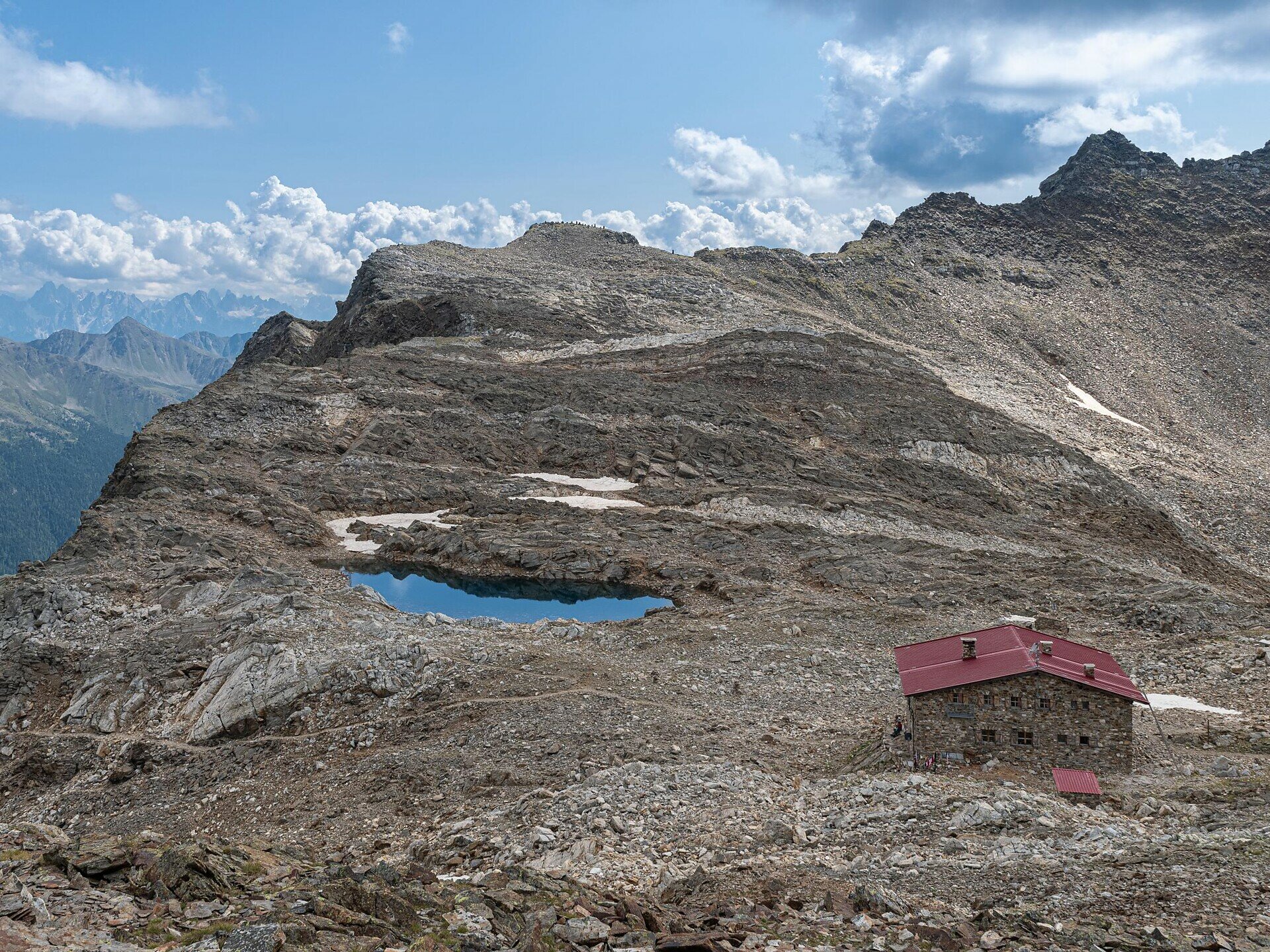
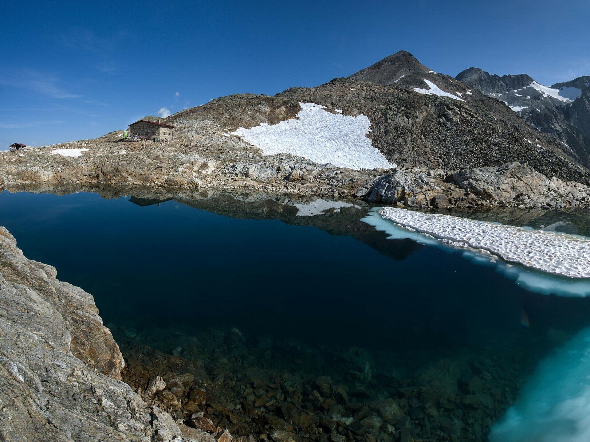
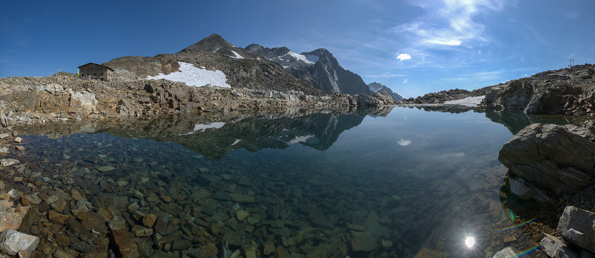
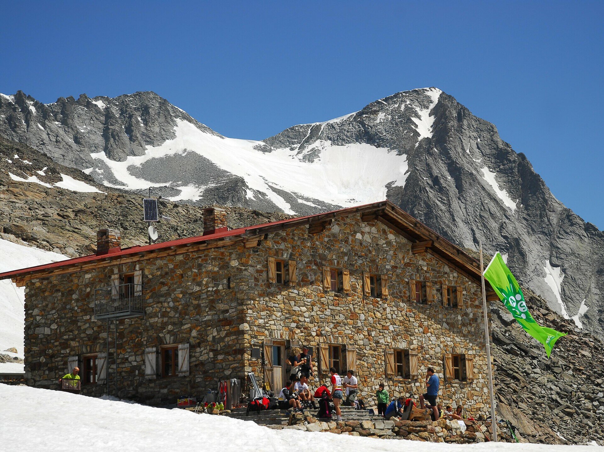
The hike to Rieserferner Hut (2,791 m) is one of the most impressive hut hikes in the Antholz Valley. Nestled in the high-alpine landscape of the Rieserferner group, the route leads through varied terrain into a stunning glacial environment.

Depending on the chosen starting point, the ascent passes alpine pastures, quiet forest sections and later high-alpine terrain up to the Gemsbichljoch, before reaching the spectacularly located hut.

Rieserferner Hut is an ideal base for high-alpine tours and offers a unique panorama of the surrounding 3,000-metre peaks.

This hike is suitable for experienced mountain hikers with good fitness and sure-footedness.
Tags
  • Linear route
Route data
Intermediate
Distance
6,0 km
Duration
4 h 00 min
Ascent
1.551 m
Decent
4 m
Physical condition
Scenary
Highest point
2.797 m
Lowest point
1.314 m
Suggestions
An early start is recommended, as the tour is long and weather conditions in the high mountains can change quickly. A particularly impressive moment is when the view opens up at the Gemsbichljoch, revealing the high-alpine landscape around the Rieserferner Hut.
You might be interested in
Discover related tours
Dolomites panoramic view tour Antholz Valley | © Tourismusgenossenschaft Antholzertal
Intermediate
Add to favourites
Antholz Valley
Dolomites panoramic view tour
Distance 9,3 km
Duration 3 h 20 min
Ascent 532 m
Decent 532 m
Status
open
Bild | © © Plaickner Josef / Tourist Info Antholzertal, Olang
Intermediate
Add to favourites
Antholz Valley
Hike to the Hofstatt hut
Distance 1,3 km
Duration 40 min
Ascent 209 m
Decent 7 m
Status
closed
Panorama | © Tourismusgenossenschaft Antholzertal
Intermediate
Add to favourites
Antholz Valley
Panoramic walking tour: Niederrasen - Redensberg - Raut
Distance 9,6 km
Duration 3 h 05 min
Ascent 414 m
Decent 421 m
Status
open
Antholz Valley
Walk from Oberrasen along the Antholz stream to Bad Salomonsbrunn
Distance 4,2 km
Duration 1 h 00 min
Ascent 21 m
Decent 0 m
Status
open
Antholz Valley
Biotop Rasen
Distance 2,7 km
Duration 40 min
Ascent 14 m
Decent 1 m
Antholz Valley
Across the panorama way to Bruneck
Distance 8,6 km
Duration 2 h 20 min
Ascent 45 m
Decent 231 m
Status
closed