Top

Winter hike from Antholz Mittertal to Antholz Lake

Antholz Valley
Add to favourites
Difficulty
Intermediate
Duration
2:00
in hours
Distance
6.5
in km
Status
closed
Categories
  • Winter hiking
Tags
  • Linear route
Suggested period
Jan
Feb
Mar
Apr
May
Jun
Jul
Aug
Sep
Oct
Nov
Dec
Varied winter hike from Antholz Mittertal to Antholz Obertal and further on to Lake Antholz.

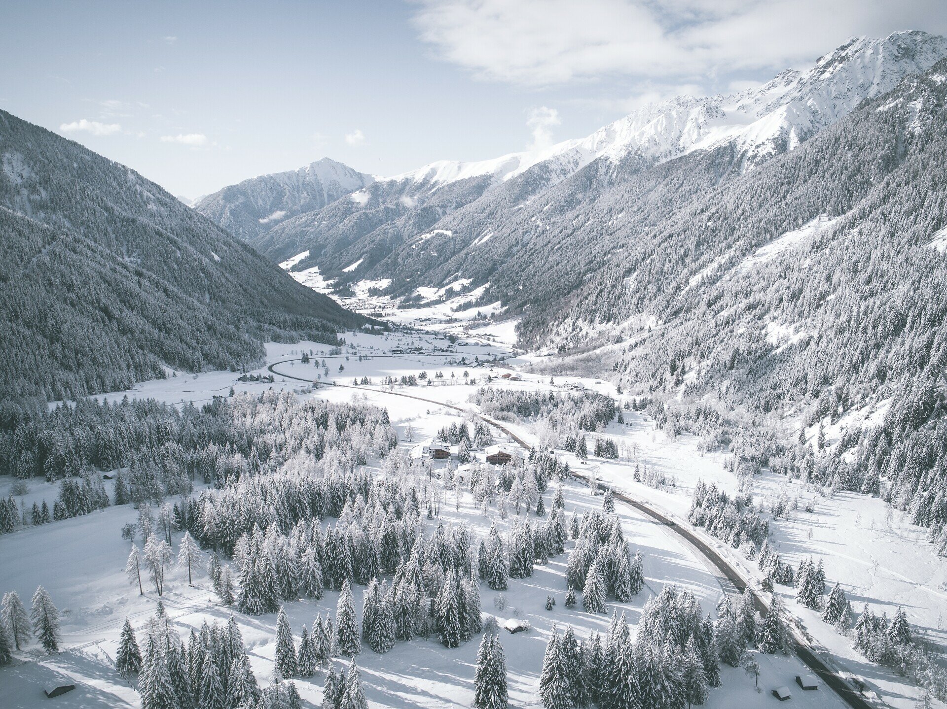
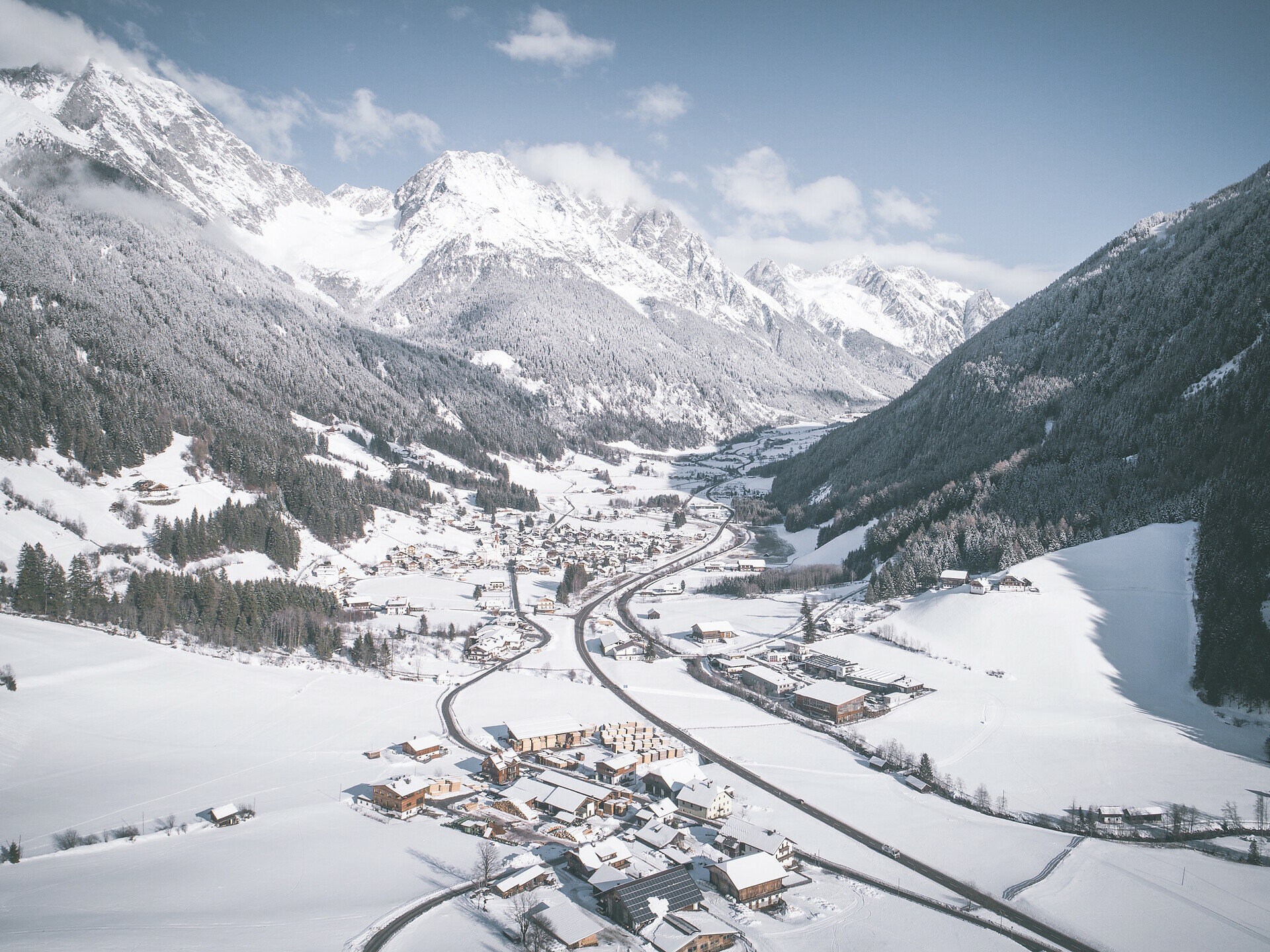
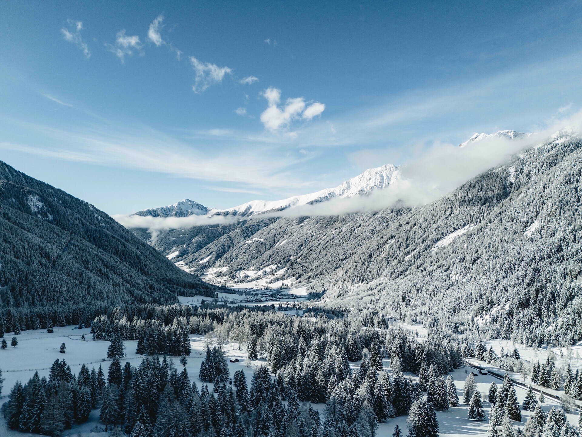
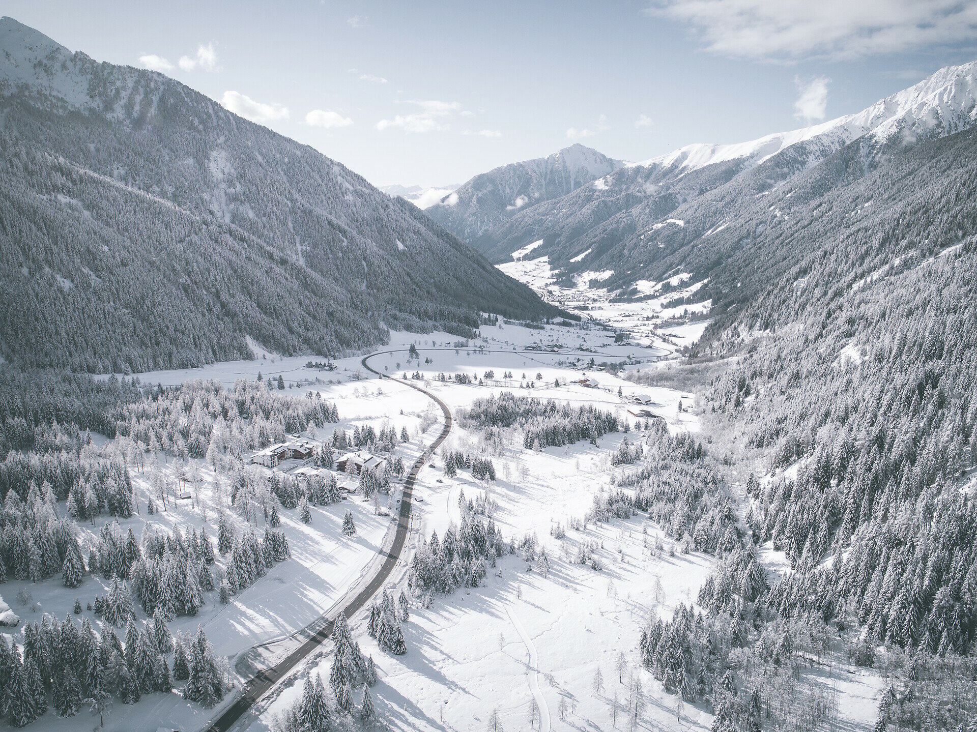
This scenic winter hike leads from Antholz Mittertal through the snow-covered valley landscape to LakeAntholz. A large part of the route follows the groomed winter hiking trail and connects the villages of Antholz Mittertal and Antholz Obertal.

As the route gradually gains altitude, the impressive mountain scenery at the head of the valley comes ever closer, until the biathlon center and Lake Antholz are finally reached. The tour is ideal for anyone wishing to discover the Antholz Valley in winter on a longer but technically easy hike.
Gallery
Categories
  • Winter hiking
Tags
  • Linear route
Route data
Intermediate
Distance
6,5 km
Duration
2 h 00 min
Ascent
405 m
Decent
2 m
Technical skills
Physical condition
Scenary
Highest point
1.645 m
Lowest point
1.240 m
Suggestions
Anyone who does not want to hike the route in both directions can easily combine the tour with a bus ride and return comfortably from Antholz Lake to Antholz Mittertal.
You might be interested in
Discover related tours
Antholz Valley
Winter hike: Niederrasen - Wasserwaldile - Oberrasen
Distance 1,7 km
Duration 31 min
Ascent 84 m
Decent 53 m
Status
closed
Antholz Valley
Winter hiking trail at Lake Antholz
Distance 2,0 km
Duration 29 min
Ascent 1 m
Decent 4 m
Status
closed
Antholz Valley
Winter hike: to the "Alte Goste"
Distance 2,0 km
Duration 1 h 00 min
Ascent 81 m
Decent 6 m
Status
closed
Antholz Valley
Winter hike to the Staller Saddle
Distance 6,6 km
Duration 2 h 05 min
Ascent 429 m
Decent 6 m
Status
closed
Antholz Valley
Winter hike around Oberrasen
Distance 3,3 km
Duration 48 min
Ascent 10 m
Decent 10 m
Status
closed
Antholz Valley
Winter hike: Nössler trail
Distance 4,3 km
Duration 1 h 17 min
Ascent 149 m
Decent 149 m
Status
closed