Bike Tour to the Furkelpass

Add to favourites
Category
Difficulty
Difficult
Duration
2:12
in hours
Distance
17.7
in km
Status
open

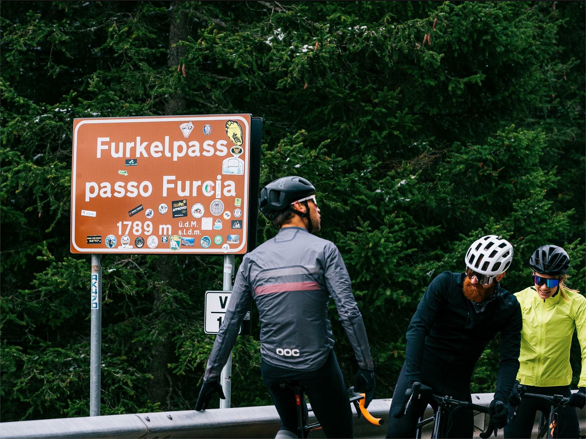
This challenging bike tour leads from Niederrasen via Olang to Furkel Pass, rewarding riders with magnificent mountain views.

This tour takes us from Mitterolang up to the Furkel Pass, covering an altitude difference of approx. 750 metres and a distance of 11 km to our destination. The route first takes us past Mühlbach and then past Gassl, where the valley station of the Olang cable car is located. This is where the ascent to the 1,789 m high pass begins. We initially cycle on a paved road until we turn off onto the Furkelstraße, where the last section to our destination begins. Once we reach the pass, we can enjoy the marvellous view of the surrounding mountains before returning to Mitterolang along the same route.
Route data
Difficult
Distance
17,7 km
Duration
2 h 12 min
Ascent
949 m
Decent
209 m
Highest point
1.770 m
Lowest point
1.000 m
Suggestions

Take a break at Furkel Pass to enjoy the stunning alpine scenery. On clear days, the views extend far across the surrounding peaks.

You might be interested in
Discover related tours
Cycling, lake | © Giro d'Italia
Intermediate
Add to favourites
Tourist Info Antholz Valley
Distance 18,2 km
Duration 1 h 58 min
Ascent 658 m
Decent 40 m
Status
open
Lake, boats, mountain scenery | © Wisthaler Harald - IDM Südtirol
Intermediate
Add to favourites
Bike Tour to the Pragser Wildsee Lake
Distance 27,1 km
Duration 2 h 28 min
Ascent 577 m
Decent 186 m
Status
open
Antholz Valley
Bike tour to the Defereggen Valley (Austria)
Distance 38,8 km
Duration 4 h 25 min
Ascent 1.656 m
Decent 1.383 m
Status
open
Antholz Valley
To the Brunst Alm Hut
Distance 10,4 km
Duration 2 h 40 min
Ascent 1.048 m
Decent 160 m
Status
open
Cycling through Bruneck | © Wisthaler - TV Antholzertal
Intermediate
Add to favourites
Panorama Circular Tour via Ried to Bruneck
Distance 24,2 km
Duration 1 h 36 min
Ascent 325 m
Decent 325 m
Status
open
Bike Tour around Kronplatz
Distance 48,0 km
Duration 3 h 52 min
Ascent 1.193 m
Decent 1.193 m
Status
open