Top

Hike to the Neurasen castle ruins

Antholz Valley
Add to favourites
Difficulty
Intermediate
Duration
1:15
in hours
Distance
2.9
in km
Status
open
Categories
  • Hiking trail
Tags
  • Dog-friendly
  • Linear route
  • Family-friendly
Suggested period
Jan
Feb
Mar
Apr
May
Jun
Jul
Aug
Sep
Oct
Nov
Dec
NEW: MOVE calculates your personal route time for this tour.
Find out more about the project
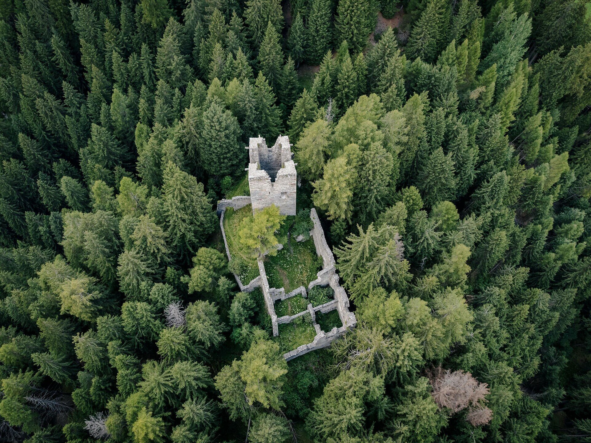
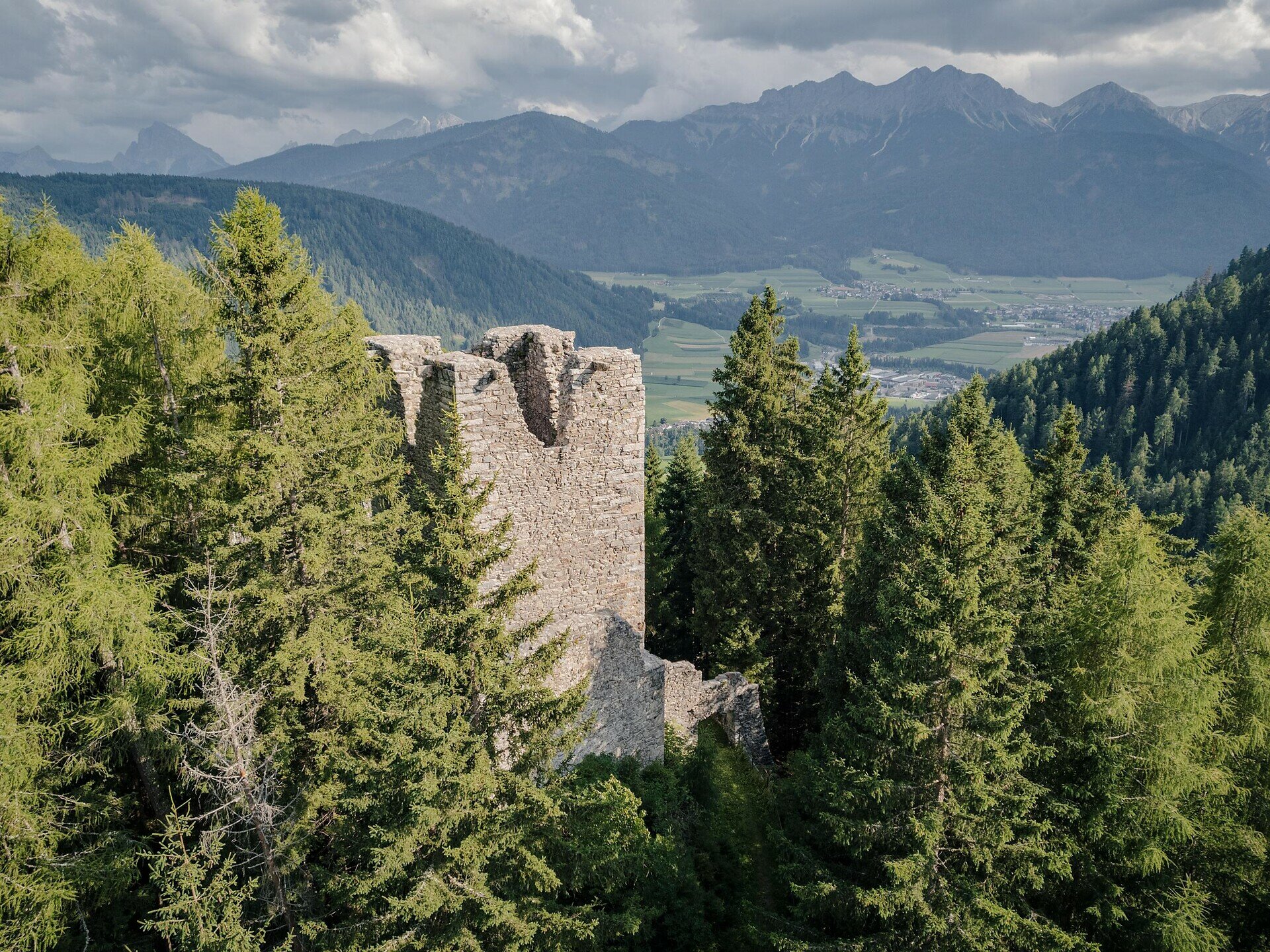
Hike from Niederrasen or Oberrasen to the Neurasen castle ruins with beautiful views and a historic destination.

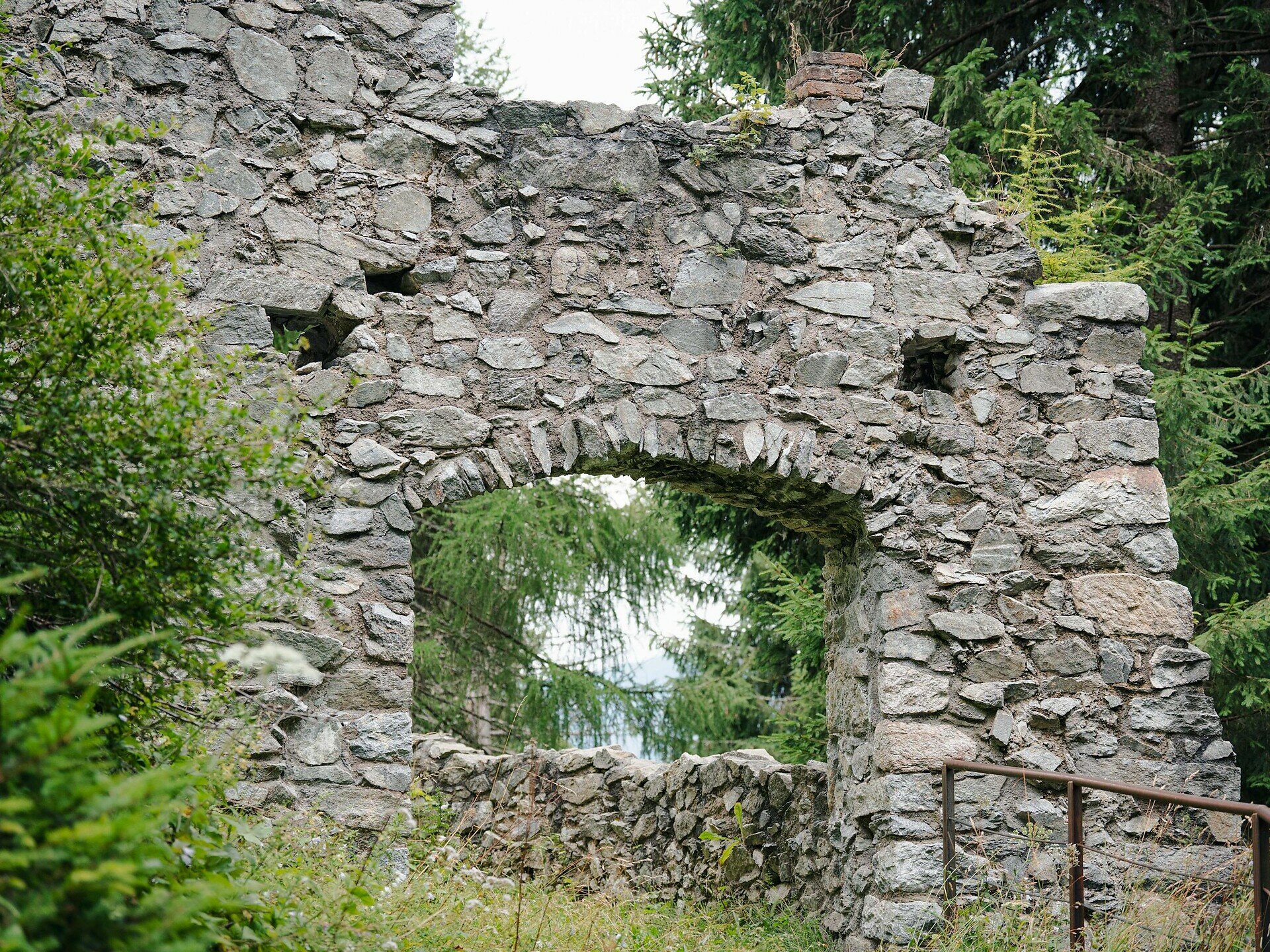
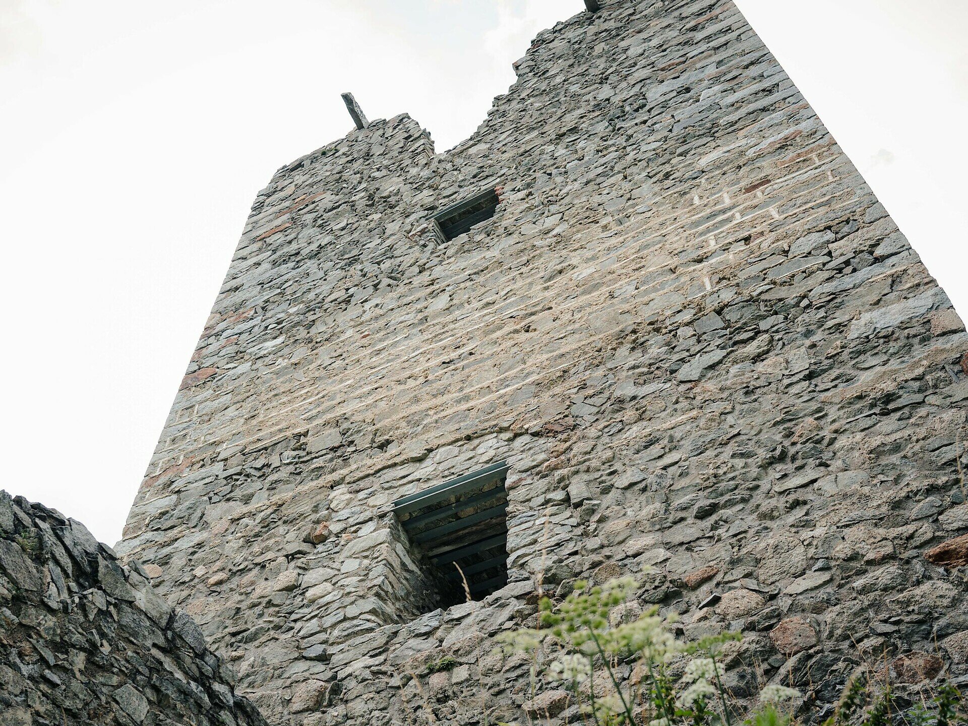
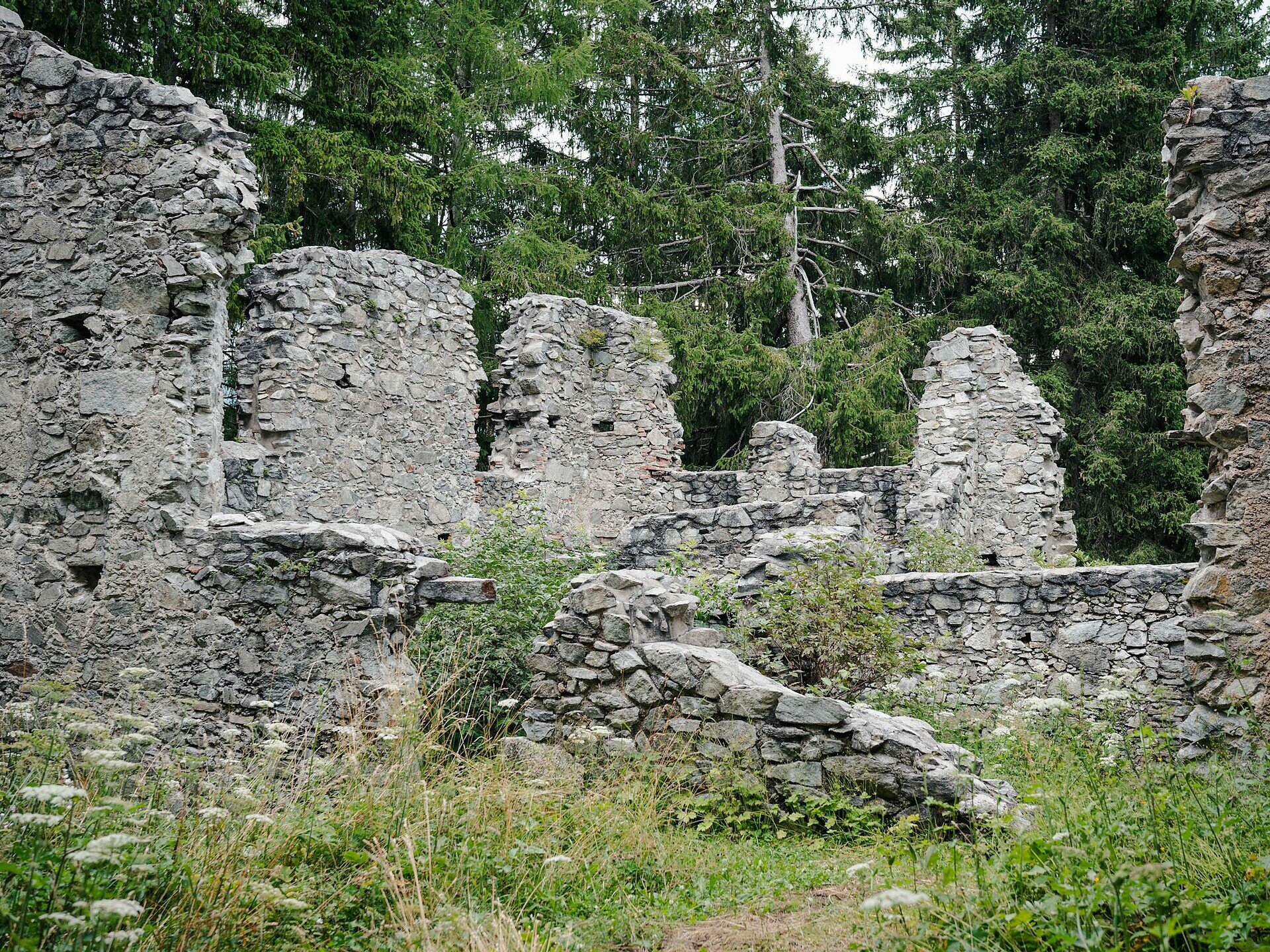
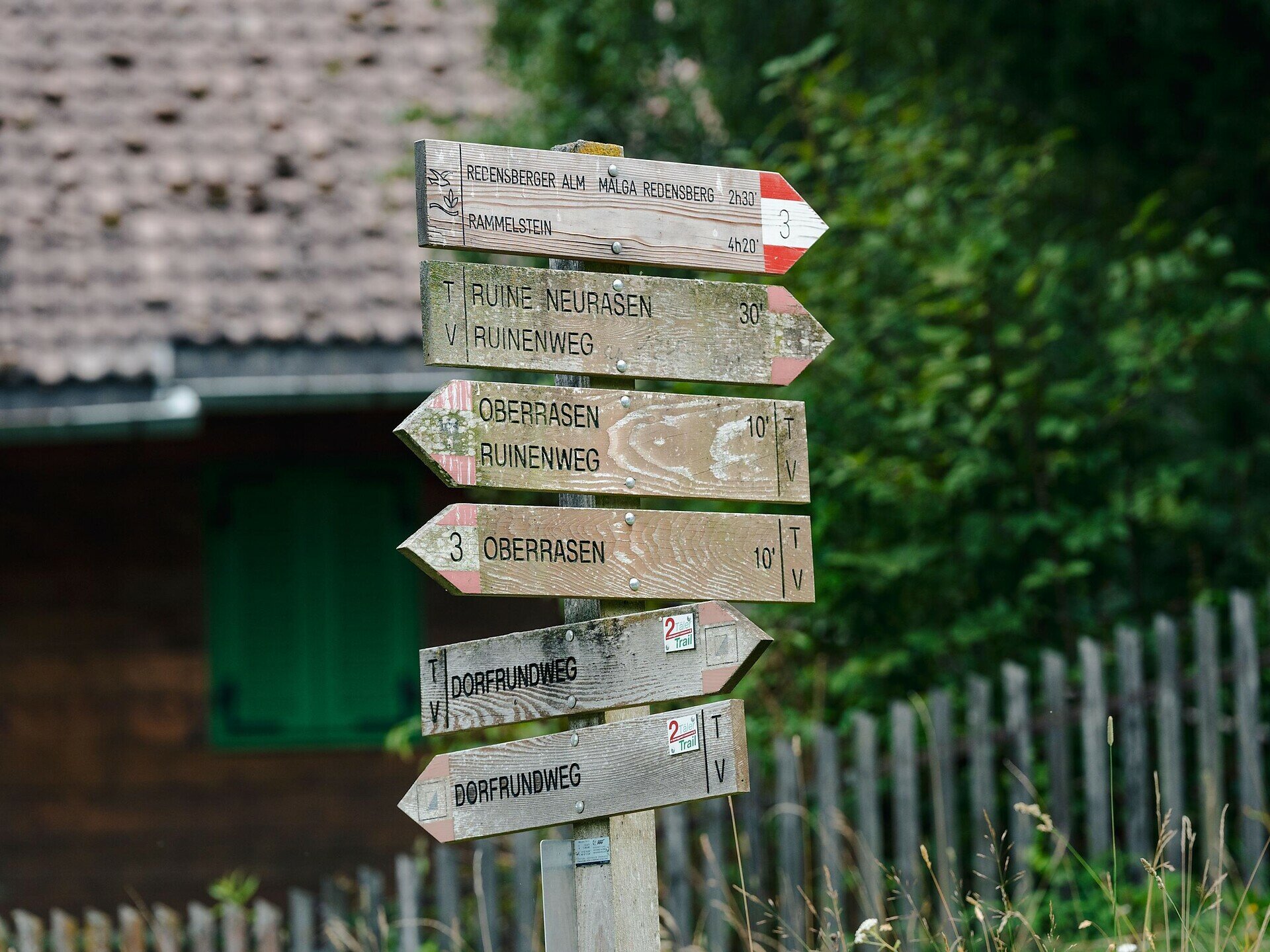
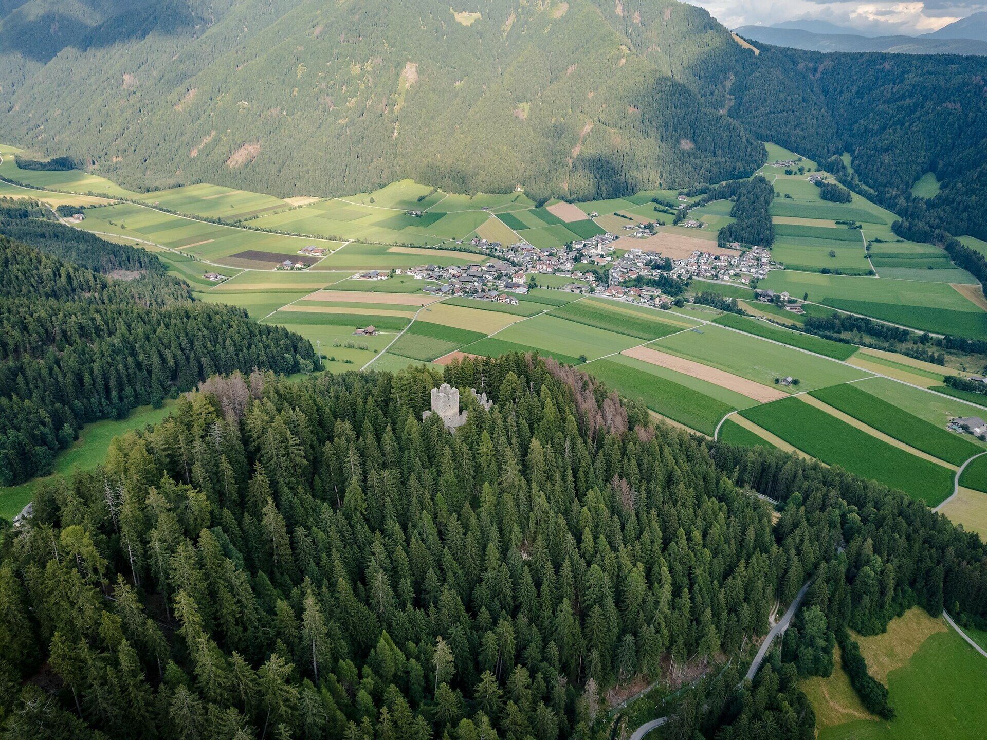
The hike to the Neurasen castle ruins in Oberrasen is a varied tour with a cultural background. It leads from Niederrasen or Oberrasen through peaceful landscapes and forest sections up to the historic ruins located above the valley.

The path first passes through open terrain and past traditional farms before entering the forest and ascending gently. The destination is the Neurasen castle ruins, which are privately owned and belong to the Burgfrieder farm.

This hike is ideal for those who want to combine a relaxing walk with a cultural highlight. Thanks to different starting options, the tour can be planned flexibly.
Gallery
Categories
  • Hiking trail
Tags
  • Dog-friendly
  • Linear route
  • Family-friendly
Route data
Intermediate
Distance
2,9 km
Duration
1 h 15 min
Ascent
343 m
Decent
11 m
Physical condition
Scenary
Highest point
1.370 m
Lowest point
1.026 m
Suggestions

The hike is ideal as a short half-day tour or as an addition to a longer route.

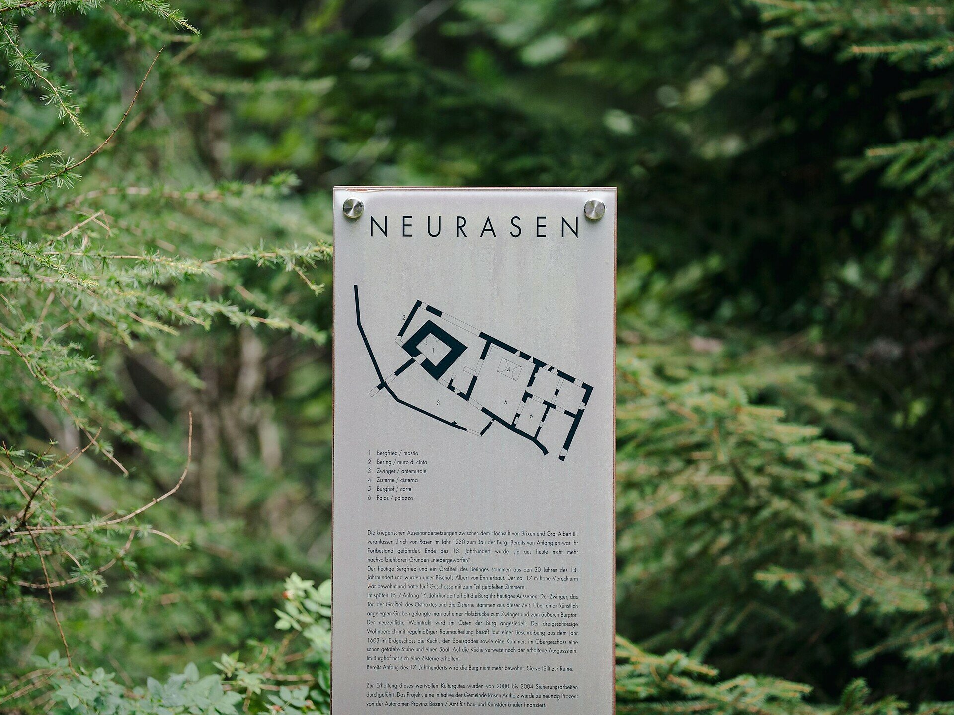
The historical background of the Neurasen castle ruins is particularly interesting: they were built around 1200 by the “Lords of Rasen” after losing their original castle. In the 14th century, the ruins came into the possession of the Prince-Bishops of Brixen and were further expanded. Over the following centuries, ownership changed several times and the structure gradually fell into decay – by around 1680 it was already a ruin.

You might be interested in
Discover related tours
Antholz Valley
Rasen village loop: circular hike between Niederrasen and Oberrasen
Distance 8,8 km
Duration 2 h 30 min
Ascent 238 m
Decent 238 m
Status
open
Antholz Valley
Nature experience circular hike through the Rasner Möser biotope
Distance 9,1 km
Duration 2 h 10 min
Ascent 28 m
Decent 28 m
Status
open
Antholz Valley
Hike to the Klammbach Waterfall
Distance 1,7 km
Duration 50 min
Ascent 251 m
Decent 4 m
Status
open
Antholz Valley
Walking to the "Goste" (Oberolang)
Distance 2,0 km
Duration 45 min
Ascent 81 m
Decent 6 m
Status
open
Staller Saddle and Lake Obersee | © Tourismusgenossenschaft Antholzertal
Intermediate
Add to favourites
Antholz Valley
Panoramic hike from the Lake Antholz to the Staller Saddle
Distance 5,1 km
Duration 1 h 50 min
Ascent 451 m
Decent 31 m
Status
closed
Rifugio Vedrette di Ries / Rieserfernerhütte | © Rieserfernerhütte, Tourismusgenossenschaft Antholzertal
Intermediate
Add to favourites
Antholz Valley
Alpine hike to Rieserferner Hut
Distance 6,0 km
Duration 4 h 00 min
Ascent 1.551 m
Decent 4 m
Status
open