Top

Urigsteig

Antholzertal
Dodaj do ulubionych
Trudność
Średni
Czas trwania
4:35
w godzinach
Dystans
9.8
w km
Status
otwarte
Kategorie
  • Wędrówka
Zalecany okres
Sty
Lut
Mar
Kwi
Maj
Cze
Lip
Sie
Wrz
Paź
Lis
Gru
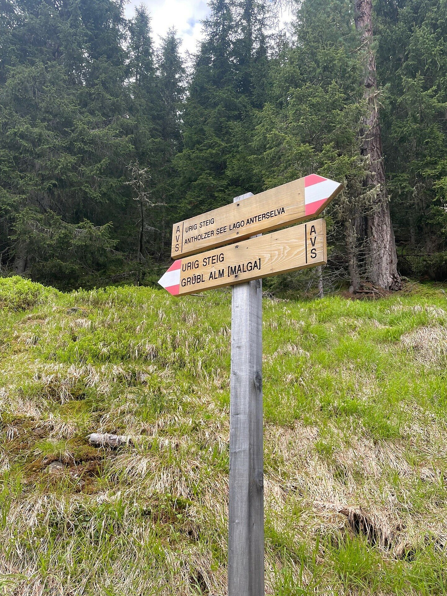
Z Antholz Mittertal (kemping) > szlak nr 1 > Müllerkreuzl > szlak nr 9 > starą drogą wojskową, w dobrze ułożonych zakrętach, do Grübl Alm (nieczynna) > dalej przez potok Plötzlbach, Urigsteig, szlak nr 9a z powrotem do doliny do Antholz Obertal > szlak nr 1 z powrotem do Antholz Mittertal.
Galeria
Kategorie
  • Wędrówka
Dane trasy
Średni
Dystans
9,8 km
Czas trwania
4 h 35 min
W górę
865 m
W dół
865 m
Kondycja
Krajobraz
Najwyższy punkt
2.098 m
Najniższy punkt
1.293 m
Może Cię zainteresować
Odkryj podobne trasy
Antholzertal
Trasa wokół wsi Rasen
Dystans 8,8 km
Czas trwania 2 h 30 min
W górę 238 m
W dół 238 m
Status
otwarte
Antholzertal
Niederrasen - Neunhäusern
Dystans 2,6 km
Czas trwania 40 min
W górę 14 m
W dół 44 m
Status
otwarte
Antholzertal
Mittertaler Ochsenalm
Dystans 4,4 km
Czas trwania 2 h 30 min
W górę 811 m
W dół 11 m
Status
otwarte
Antholzertal
Wędrówka do Rauterhöfe (Redensberg)
Dystans 7,2 km
Czas trwania 2 h 33 min
W górę 387 m
W dół 387 m
Status
otwarte
Antholzertal
Agstalm
Dystans 10,6 km
Czas trwania 4 h 00 min
W górę 713 m
W dół 703 m
Status
otwarte
Antholzertal
Bergeralm
Dystans 2,1 km
Czas trwania 1 h 05 min
W górę 365 m
W dół 0 m
Status
otwarte