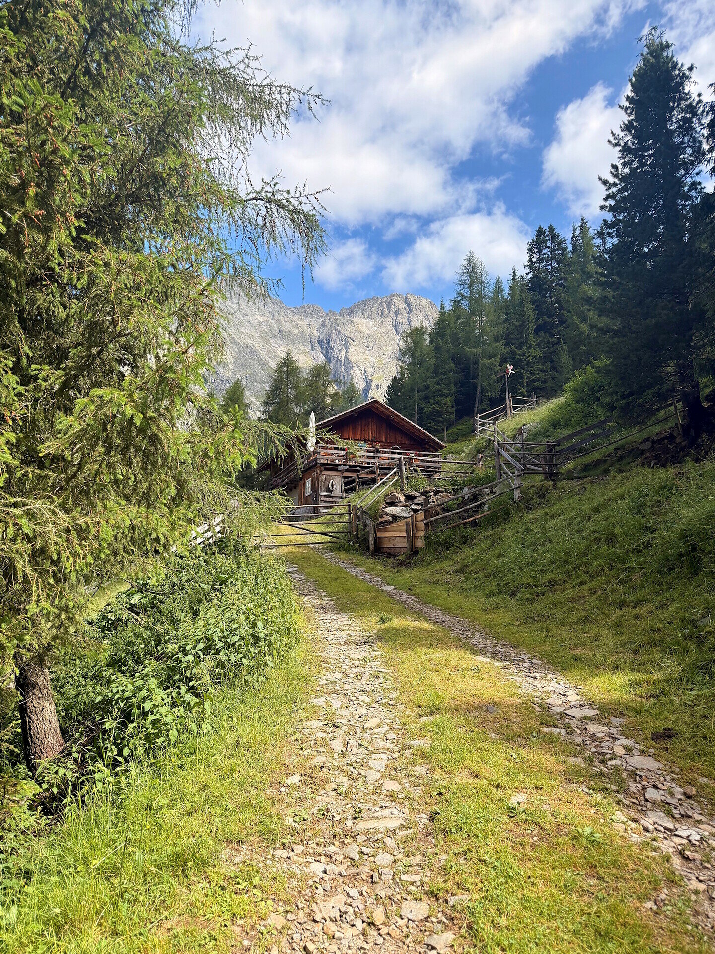
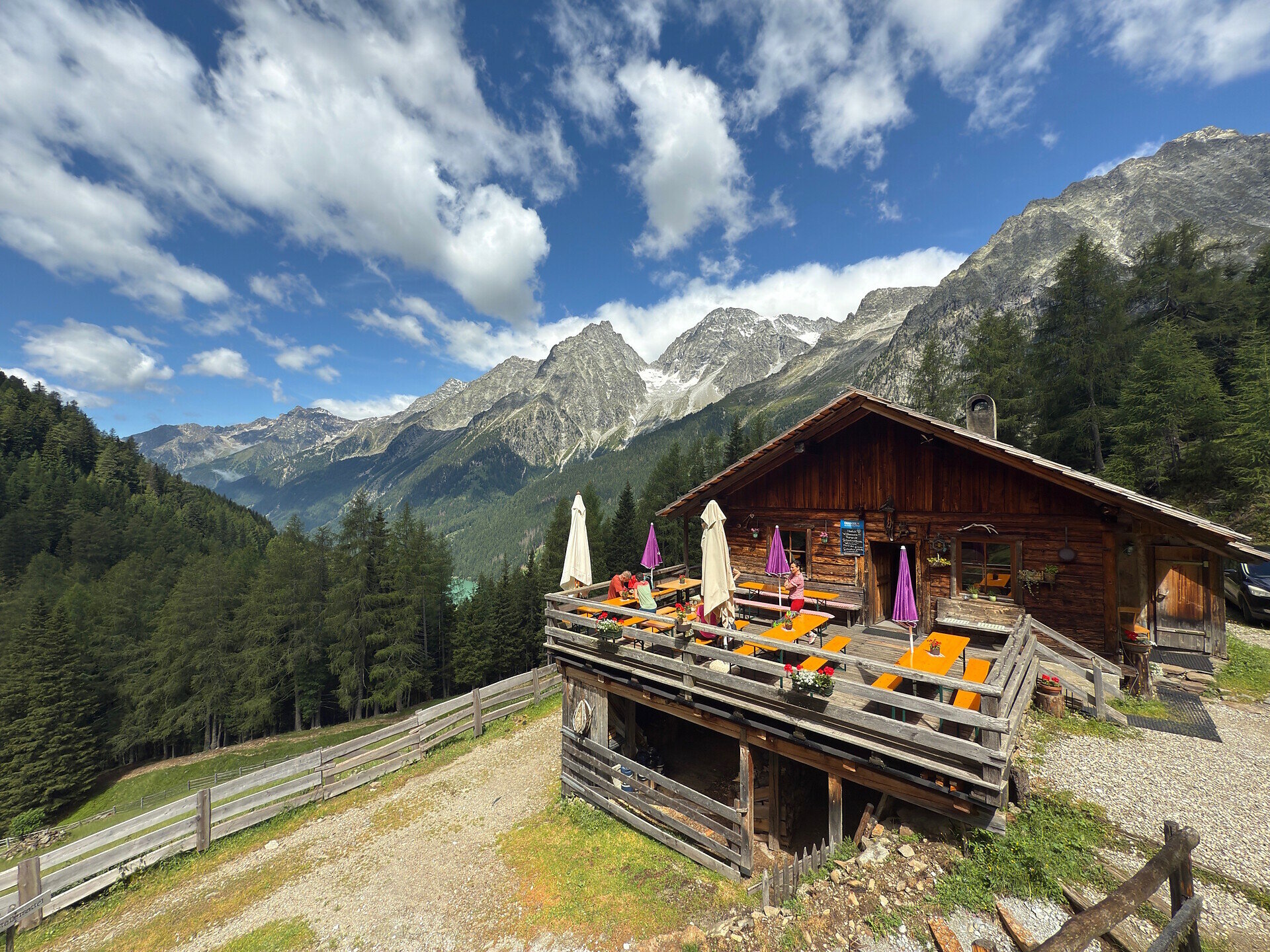
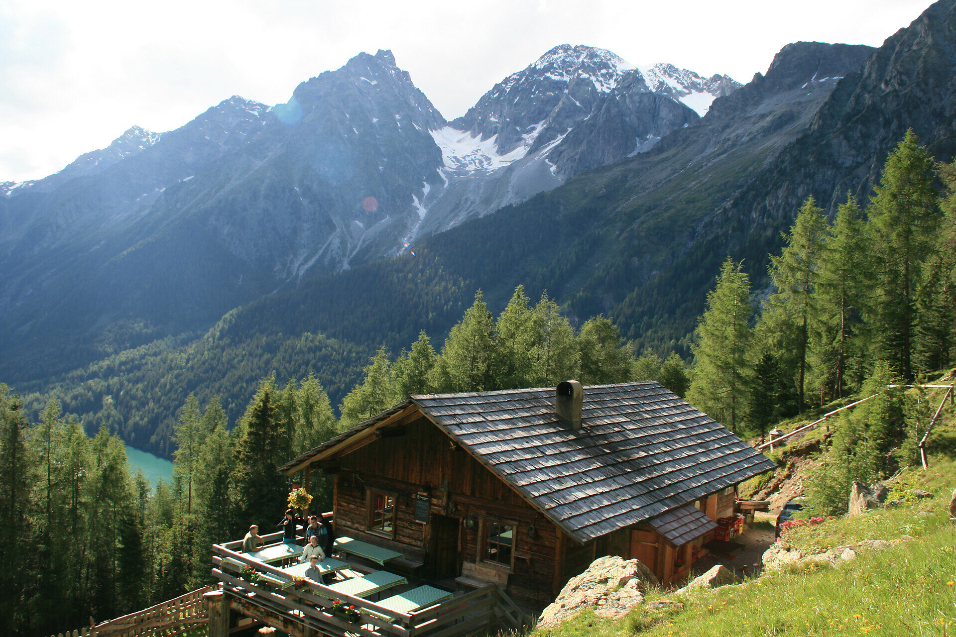
Top

Steinzger Alm

Antholzertal
Dodaj do ulubionych
Trudność
Średni
Czas trwania
1:13
w godzinach
Dystans
6.1
w km
Status
otwarte
ds_event.sidebar.categories
  • Wędrówka
Zalecany okres
Sty
Lut
Mar
Kwi
Maj
Cze
Lip
Sie
Wrz
Paź
Lis
Gru
NOWOŚĆ: MOVE oblicza Twój osobisty czas przejścia dla tej trasy.
Dowiedz się więcej o projekcie

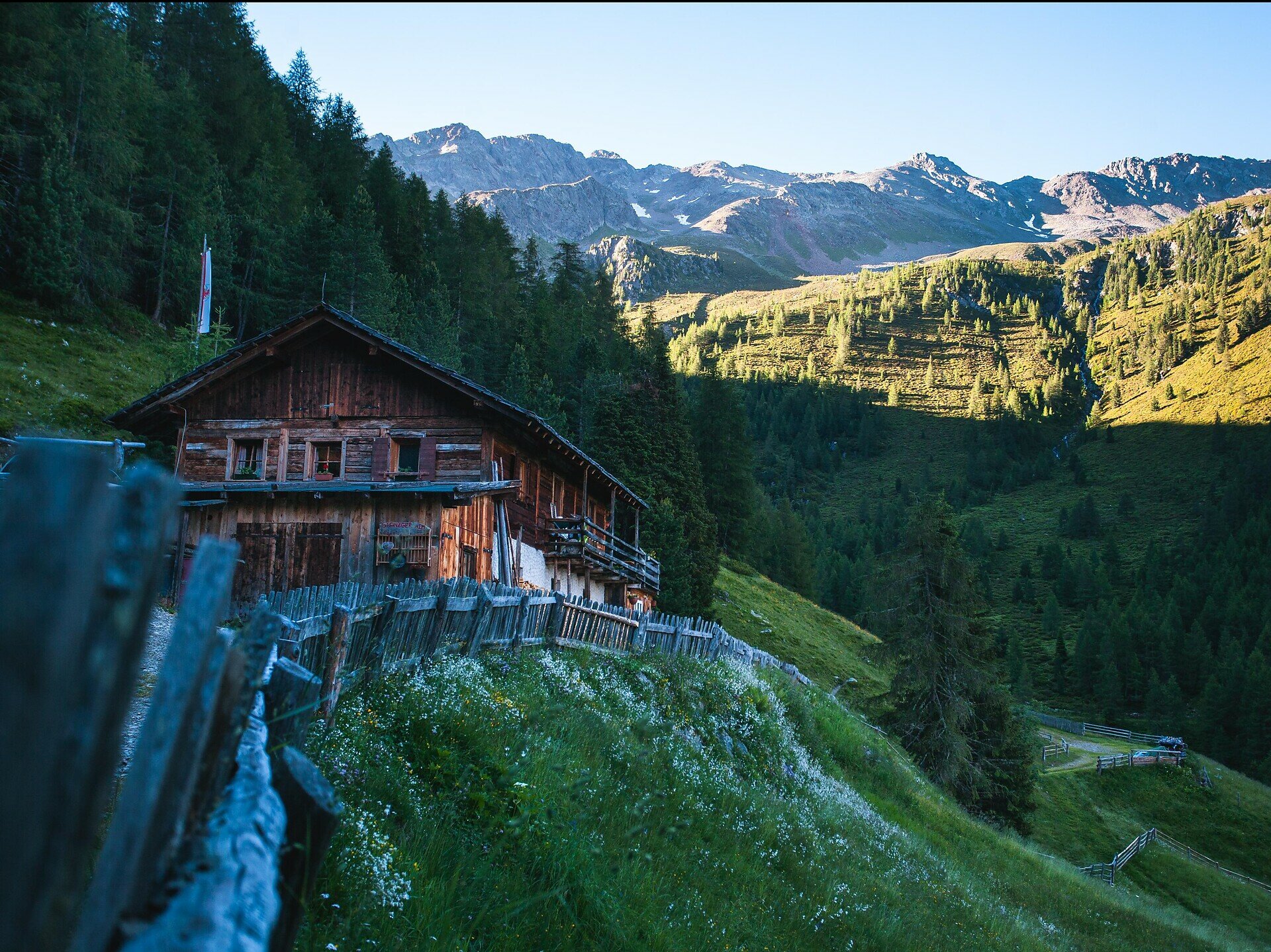
Z Antholzer See > na końcu jeziora > skręcić w prawo > droga nr 7 > Steinzgeralm (Montalalm) > krótkie podejście ścieżką alpejską; zejście drogą leśną.

Wskazówka: Z hali dalej do "Górnej Steinzgeralm" > droga nr 7a > Staller Sattel.

Galeria
ds_event.sidebar.categories
  • Wędrówka
Dane trasy
Średni
Dystans
6,1 km
Czas trwania
1 h 13 min
W górę
284 m
W dół
284 m
Kondycja
Krajobraz
Najwyższy punkt
1.891 m
Najniższy punkt
1.627 m
Może Cię zainteresować
Odkryj podobne trasy
Antholzertal
Wędrówka do Rauterhöfe (Redensberg)
Dystans 7,2 km
Czas trwania 2 h 33 min
W górę 387 m
W dół 387 m
Status
otwarte
Antholzertal
Wodospad Klammbach
Dystans 1,7 km
Czas trwania 50 min
W górę 251 m
W dół 4 m
Status
otwarte
Antholzertal
Szlak grzbietowy Obertaler
Dystans 6,9 km
Czas trwania 2 h 06 min
W górę 293 m
W dół 668 m
Status
otwarte
Antholzertal
Hofstatt Alm
Dystans 2,4 km
Czas trwania 55 min
W górę 243 m
W dół 0 m
Status
otwarte
Antholzertal
Agstalm
Dystans 10,6 km
Czas trwania 4 h 00 min
W górę 713 m
W dół 703 m
Status
otwarte
Antholzertal
Mittertaler Höhenweg
Dystans 6,7 km
Czas trwania 2 h 50 min
W górę 567 m
W dół 567 m
Status
otwarte