Top

Piramidy ziemne

Antholzertal
Dodaj do ulubionych
Trudność
Trudny
Czas trwania
2:29
w godzinach
Dystans
3.7
w km
Status
otwarte
Kategorie
  • Wędrówka
Tagi
  • Z A do B
Zalecany okres
Sty
Lut
Mar
Kwi
Maj
Cze
Lip
Sie
Wrz
Paź
Lis
Gru
NOWOŚĆ: MOVE oblicza Twój osobisty czas przejścia dla tej trasy.
Dowiedz się więcej o projekcie

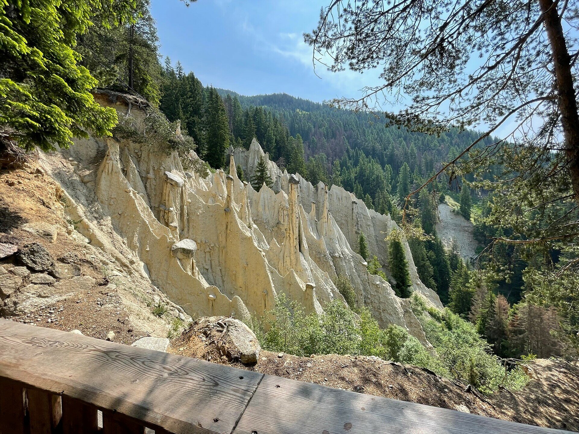
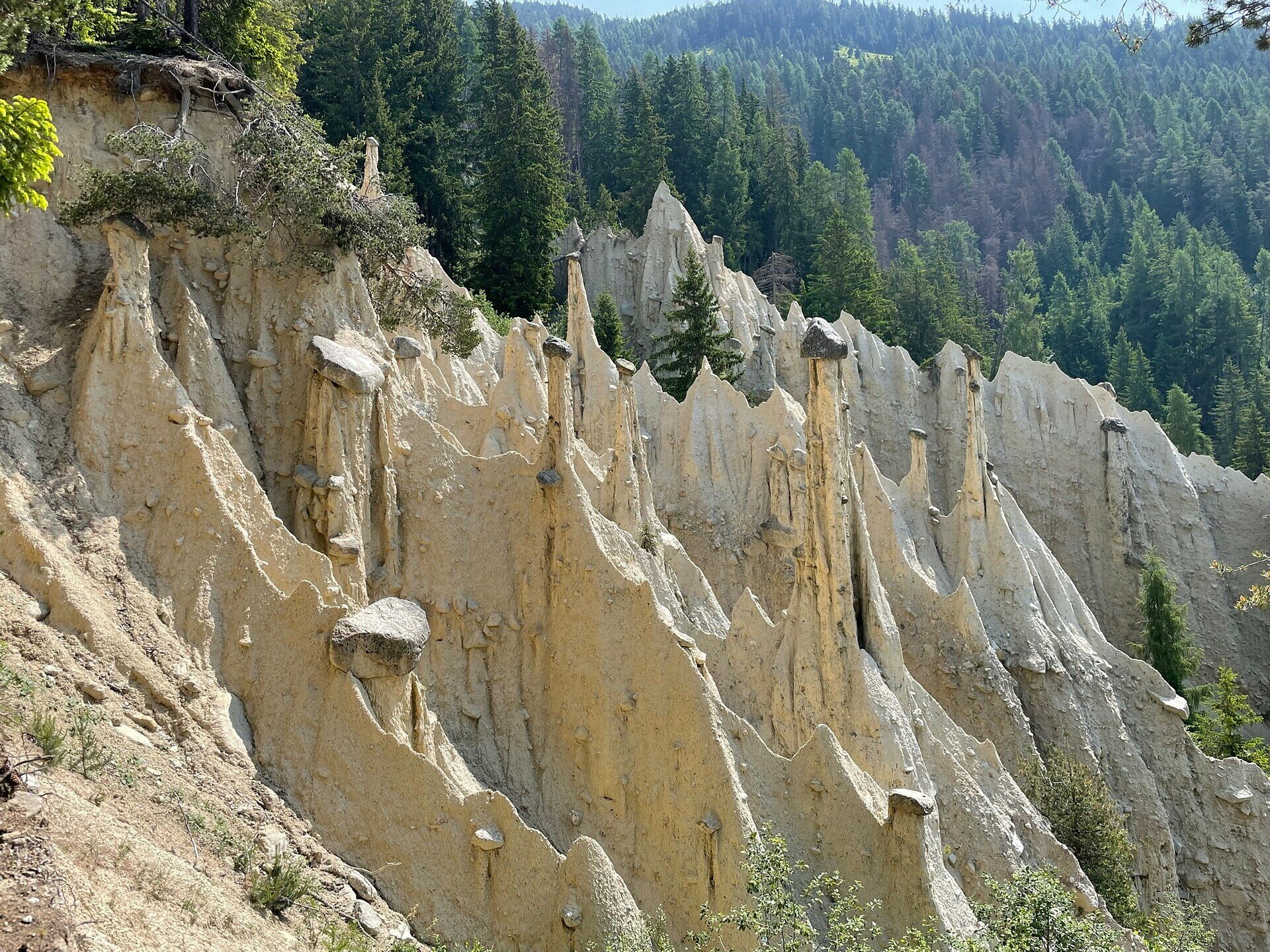
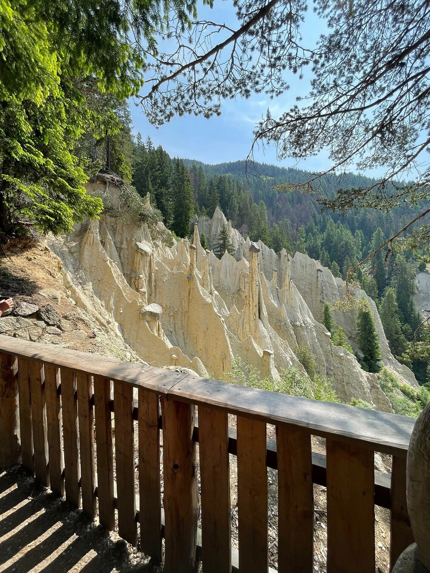
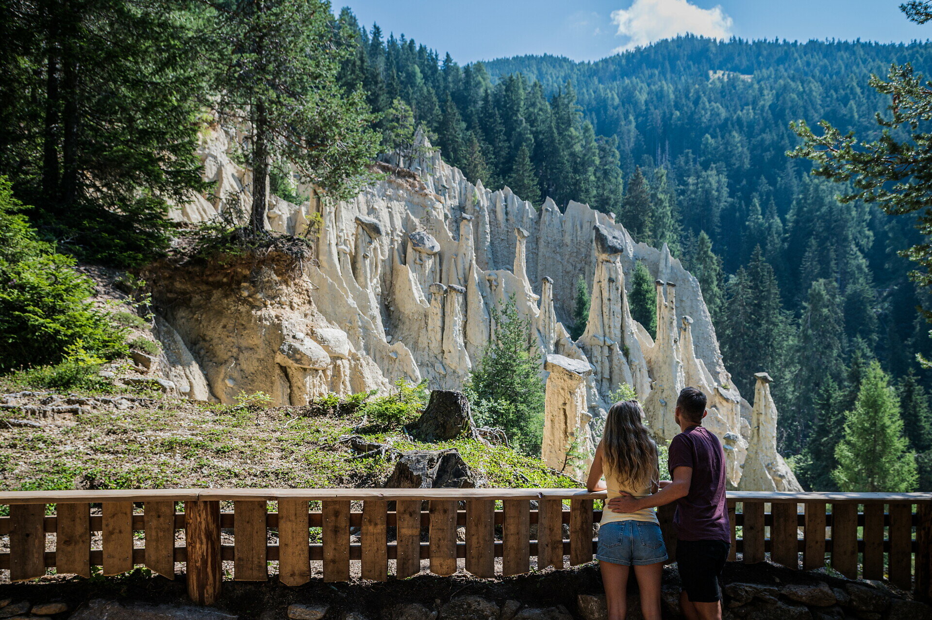
Z Nieder- oder Oberrasen > Markierung Nr. 4 bzw. 3 > Redensberg > Markierung Nr. 4, Nr. 1a und Nr. 17 nach Aschbach > Jausestation Niedristhof > Piramidy ziemne (ostatni odcinek jest nieco stromy).
Tą samą trasą powrót do Rasen lub przez Platten do Oberwielenbach (Markierung Nr. 16) i Percha (ewentualnie autobusem liniowym z Percha do Rasen).

Galeria
Kategorie
  • Wędrówka
Tagi
  • Z A do B
Dane trasy
Trudny
Dystans
3,7 km
Czas trwania
2 h 29 min
W górę
679 m
W dół
155 m
Kondycja
Krajobraz
Najwyższy punkt
1.556 m
Najniższy punkt
1.382 m
Może Cię zainteresować
Odkryj podobne trasy
Antholzertal
Spacer do Alte Goste
Dystans 2,0 km
Czas trwania 45 min
W górę 81 m
W dół 6 m
Status
otwarte
Antholzertal
Grentealm Messnerwirt
Dystans 2,2 km
Czas trwania 1 h 35 min
W górę 563 m
W dół 1 m
Status
otwarte
Antholzertal
Z Antholz Mittertal do Jeziora Antholzer
Dystans 13,2 km
Czas trwania 5 h 00 min
W górę 727 m
W dół 727 m
Status
otwarte
Antholzertal
Niederrasen - Neunhäusern
Dystans 2,6 km
Czas trwania 40 min
W górę 14 m
W dół 44 m
Status
otwarte
Antholzertal
Mittertaler Rundweg
Dystans 4,4 km
Czas trwania 1 h 30 min
W górę 150 m
W dół 150 m
Status
otwarte
Antholzertal
Trasa okrężna Niedertal
Dystans 3,1 km
Czas trwania 45 min
W górę 29 m
W dół 26 m
Status
otwarte