Top

Mittertaler Höhenweg

Antholzertal
Dodaj do ulubionych
Trudność
Średni
Czas trwania
2:50
w godzinach
Dystans
6.7
w km
Status
otwarte
ds_event.sidebar.categories
  • Wędrówka
Zalecany okres
Sty
Lut
Mar
Kwi
Maj
Cze
Lip
Sie
Wrz
Paź
Lis
Gru

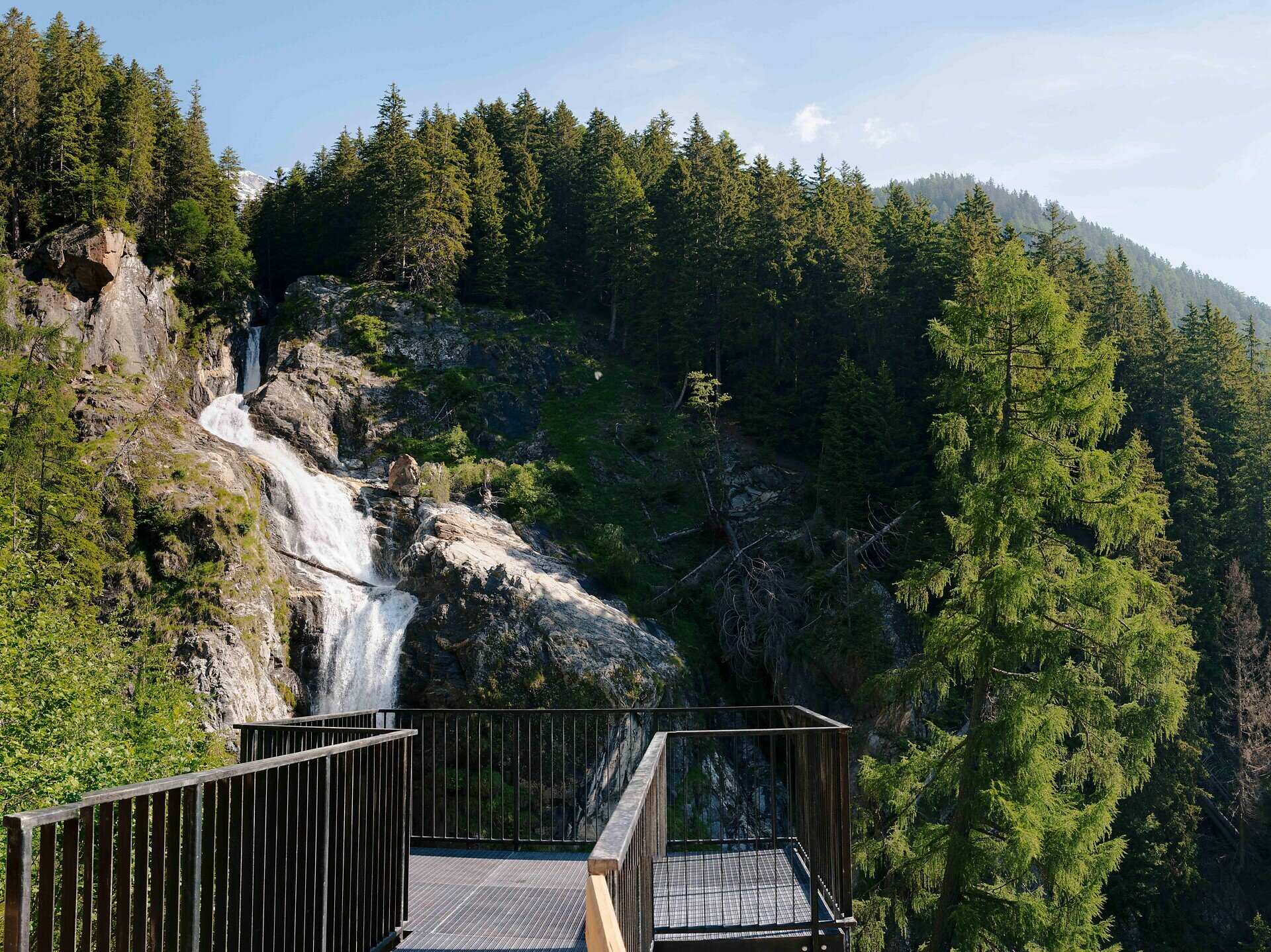
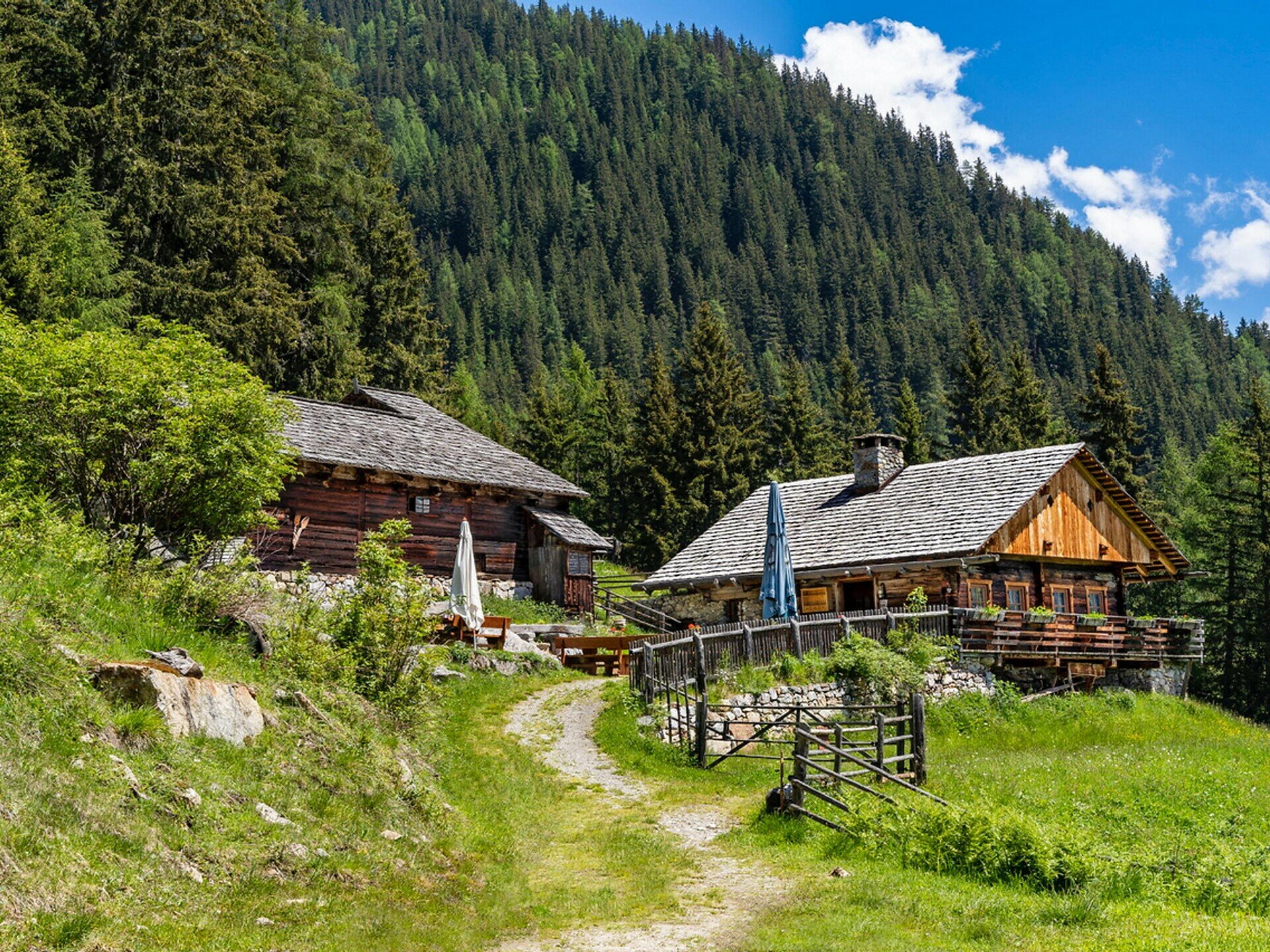
Antholz Mittertal > Sportzone > Eggerhöfe > Klammbachwasserfall > Berger- und Brennalm > nach den Almen links > Mittertaler Höhenweg, Markierung Nr. 12 > vor der Kumpflalm links Abstieg zu den Eggerhöfen > zurück nach Antholz Mittertal. Der Weg kann auch in umgekehrter Richtung gemacht werden.

Galeria
ds_event.sidebar.categories
  • Wędrówka
Dane trasy
Średni
Dystans
6,7 km
Czas trwania
2 h 50 min
W górę
567 m
W dół
567 m
Kondycja
Krajobraz
Najwyższy punkt
1.824 m
Najniższy punkt
1.257 m
Może Cię zainteresować
Odkryj podobne trasy
Antholzertal
Agstalm
Dystans 10,6 km
Czas trwania 4 h 00 min
W górę 713 m
W dół 703 m
Status
otwarte
Antholzertal
Miejsce na grilla Oberrasen do Laner Alm
Dystans 3,5 km
Czas trwania 1 h 55 min
W górę 869 m
W dół 309 m
Status
otwarte
Antholzertal
Wędrówka do Rauterhöfe (Redensberg)
Dystans 7,2 km
Czas trwania 2 h 33 min
W górę 387 m
W dół 387 m
Status
otwarte
Antholzertal
Szlak grzbietowy Obertaler
Dystans 6,9 km
Czas trwania 2 h 06 min
W górę 293 m
W dół 668 m
Status
otwarte
Antholzertal
Wędrówka po biotopie Rasner Möser
Dystans 9,1 km
Czas trwania 2 h 10 min
W górę 28 m
W dół 28 m
Status
otwarte
Antholzertal
Kumpflalm
Dystans 2,5 km
Czas trwania 1 h 17 min
W górę 396 m
W dół 0 m
Status
otwarte