Top

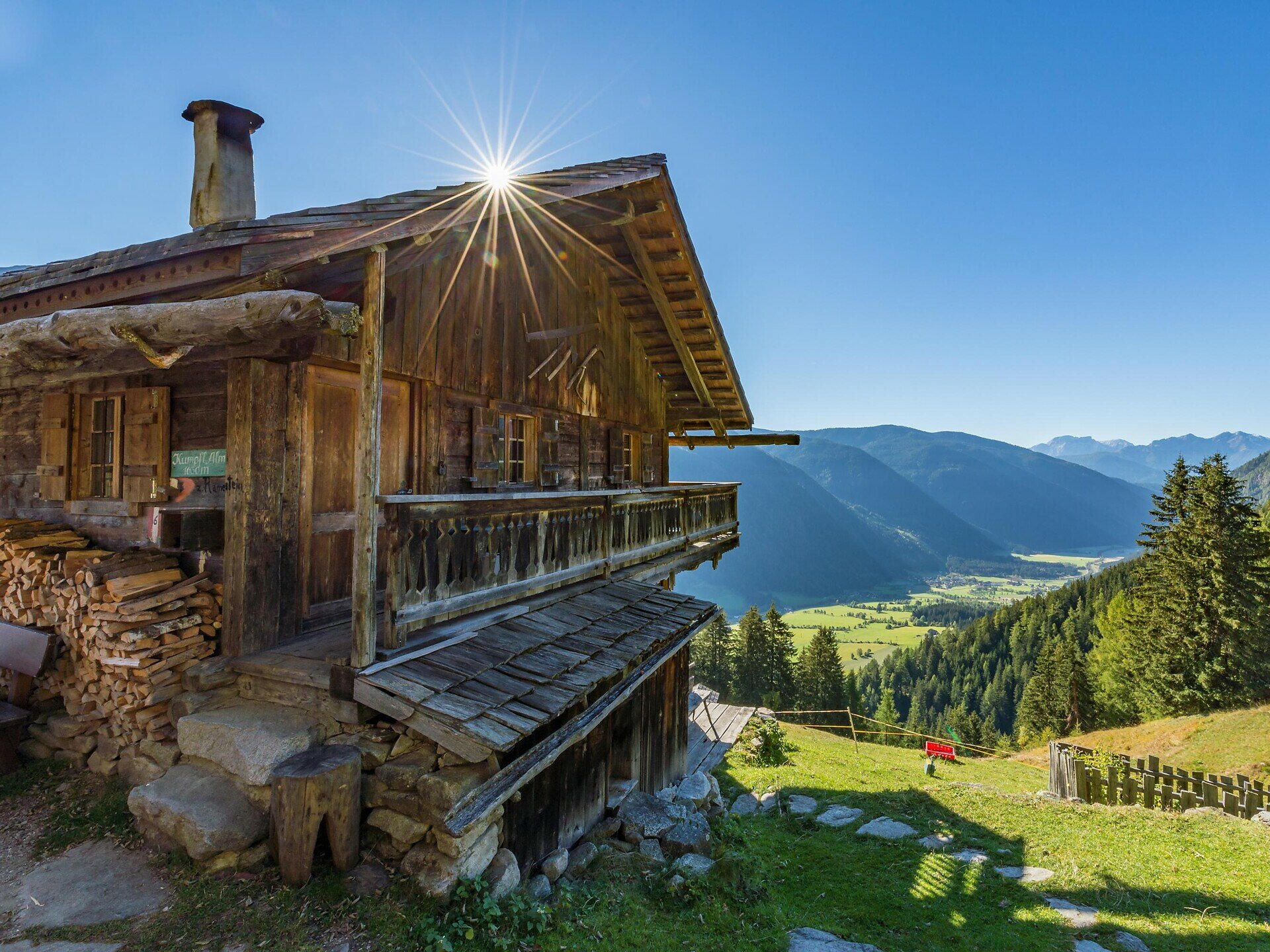
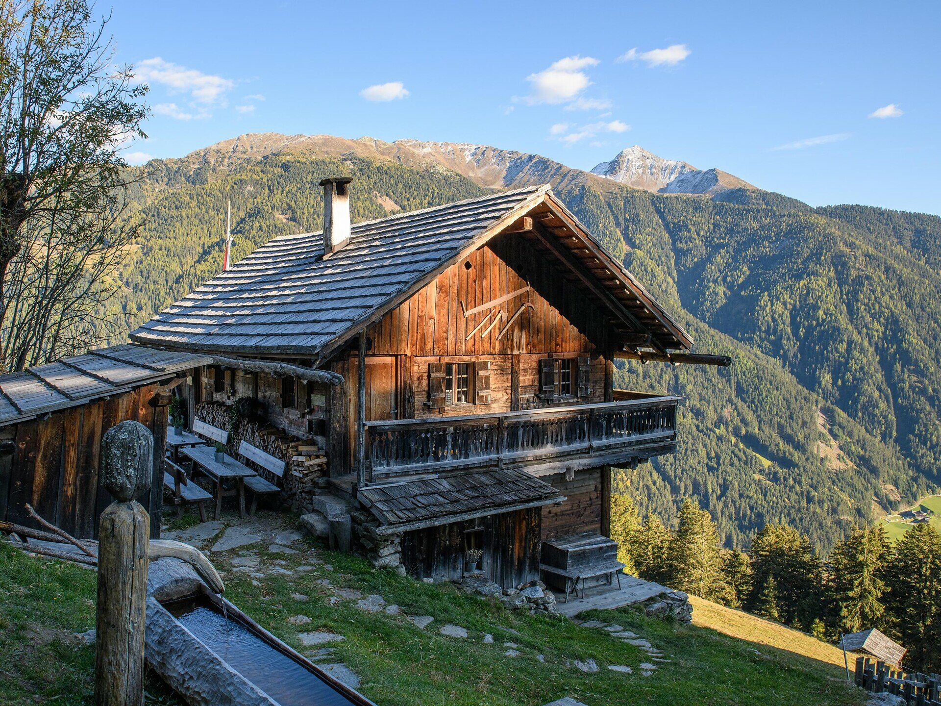
Kumpflalm

Antholzertal
Dodaj do ulubionych
Trudność
Łatwy
Czas trwania
1:17
w godzinach
Dystans
2.5
w km
Status
otwarte
ds_event.sidebar.categories
  • Wędrówka
Tagi
  • Z A do B
Zalecany okres
Sty
Lut
Mar
Kwi
Maj
Cze
Lip
Sie
Wrz
Paź
Lis
Gru
NOWOŚĆ: MOVE oblicza Twój osobisty czas przejścia dla tej trasy.
Dowiedz się więcej o projekcie

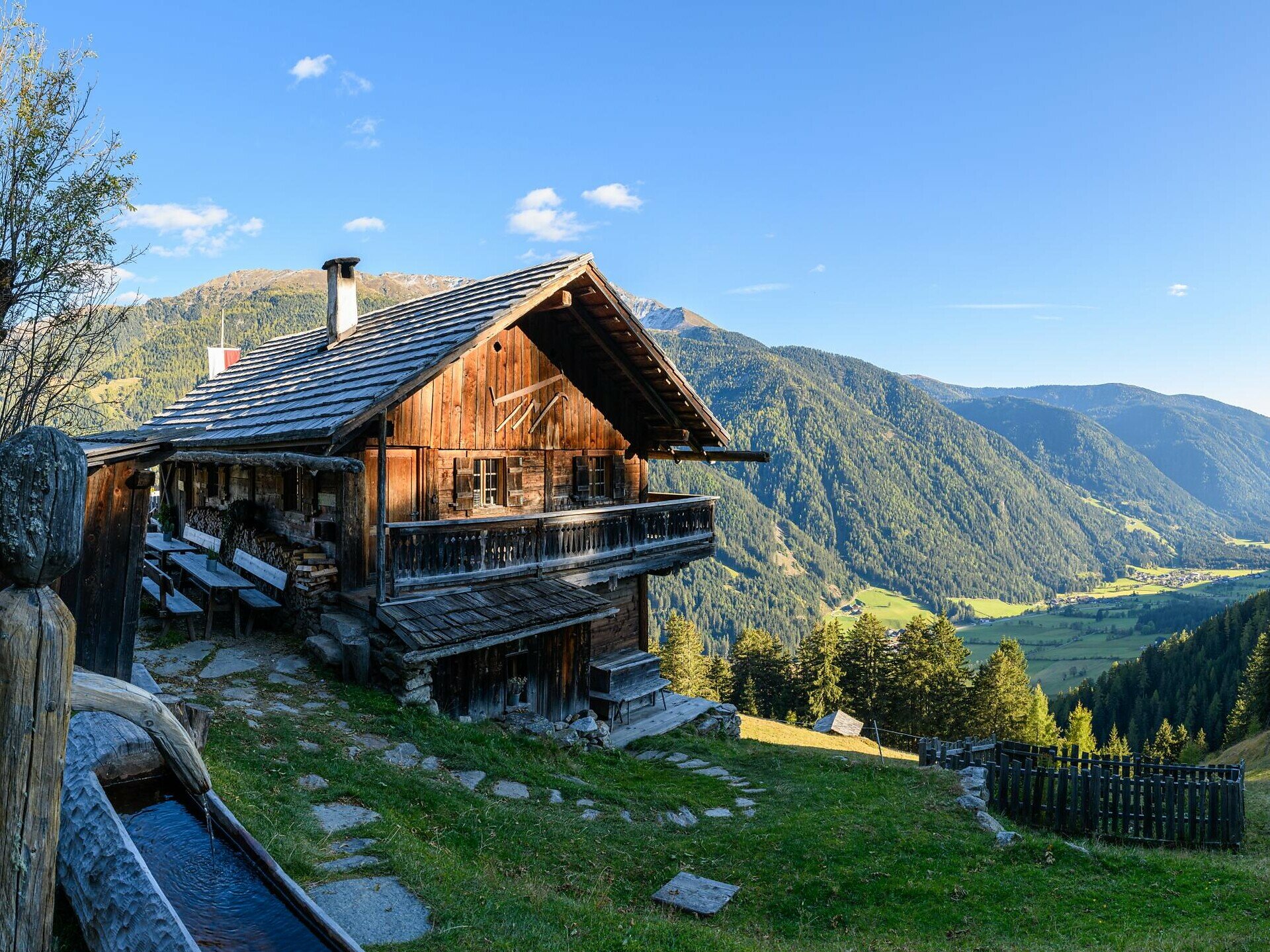
Z Antholz Mittertal (strefa sportowa) > Eggerhöfe > skręć w lewo > droga leśna do Kumpflalm.

Galeria
ds_event.sidebar.categories
  • Wędrówka
Tagi
  • Z A do B
Dane trasy
Łatwy
Dystans
2,5 km
Czas trwania
1 h 17 min
W górę
396 m
W dół
0 m
Kondycja
Krajobraz
Najwyższy punkt
1.654 m
Najniższy punkt
1.257 m
Może Cię zainteresować
Odkryj podobne trasy
Antholzertal
Maierhöfe - Wiesemann
Dystans 5,8 km
Czas trwania 1 h 41 min
W górę 193 m
W dół 193 m
Status
otwarte
Antholzertal
Miejsce na grilla Oberrasen do Laner Alm
Dystans 3,5 km
Czas trwania 1 h 55 min
W górę 869 m
W dół 309 m
Status
otwarte
Antholzertal
Ścieżka dydaktyczna przy Jeziorze Antholz
Dystans 3,4 km
Czas trwania 1 h 30 min
W górę 79 m
W dół 79 m
Status
otwarte
Antholzertal
Niederrasen - Wasserwaldile - Oberrasen - Biotop Rasner Möser
Dystans 8,9 km
Czas trwania 2 h 22 min
W górę 116 m
W dół 123 m
Status
otwarte
Antholzertal
Z Antholz Mittertal do Jeziora Antholzer
Dystans 13,2 km
Czas trwania 5 h 00 min
W górę 727 m
W dół 727 m
Status
otwarte
Antholzertal
Hochrautalm
Dystans 2,7 km
Czas trwania 1 h 40 min
W górę 544 m
W dół 42 m
Status
otwarte